


Polonina Borzhava, Zakarpattia, Ukraine
Distance
35 Mi.
(56 KM)Days
2
% Unpaved
100%
% Singletrack
7%
% Rideable (time)
95%
Total Ascent
7,478'
(2,279 M)High Point
5,235'
(1,596 M)Difficulty (1-10)
7?
- 10Climbing Scale Very Strenuous214 FT/MI (40 M/KM)
- -Technical Difficulty
- -Physical Demand
- -Resupply & Logistics
Contributed By
Nicholas Carman
Gypsy by Trade
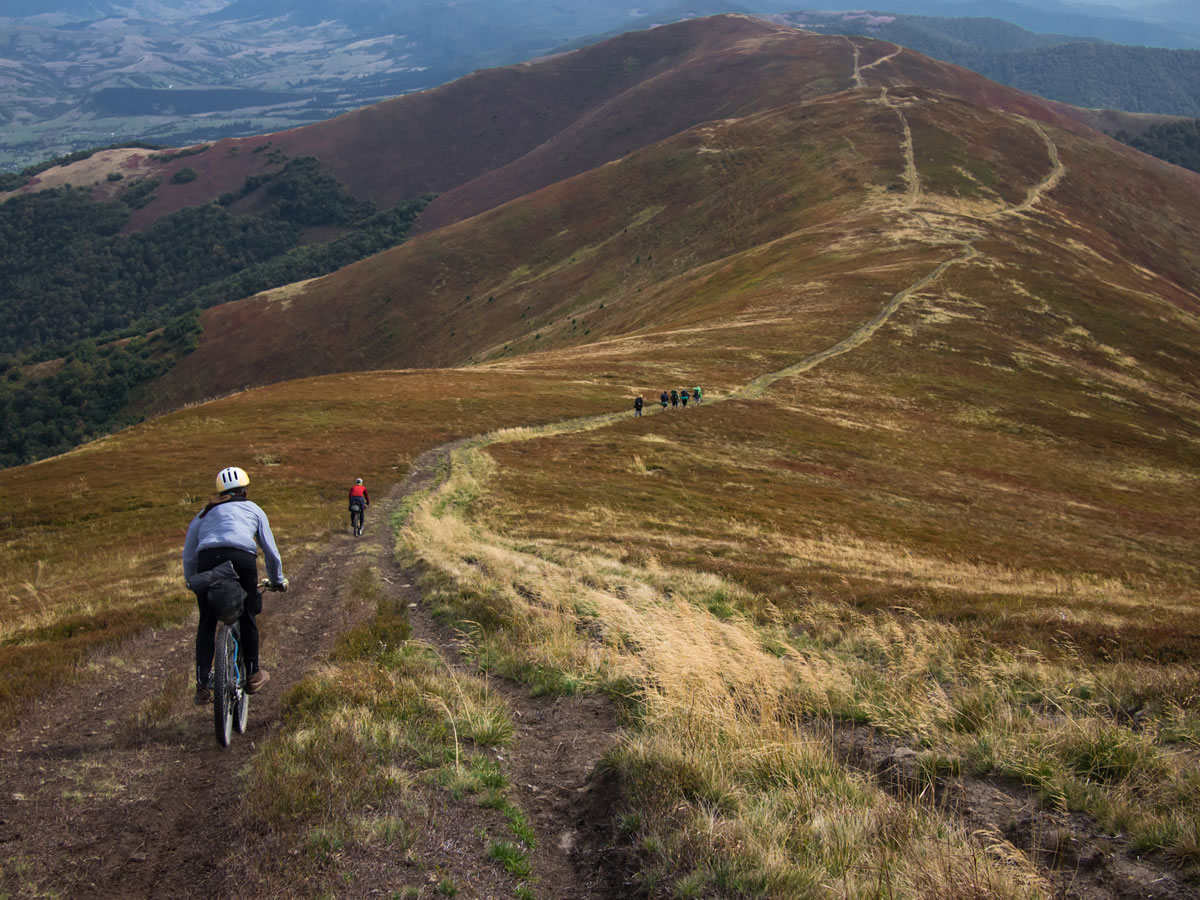
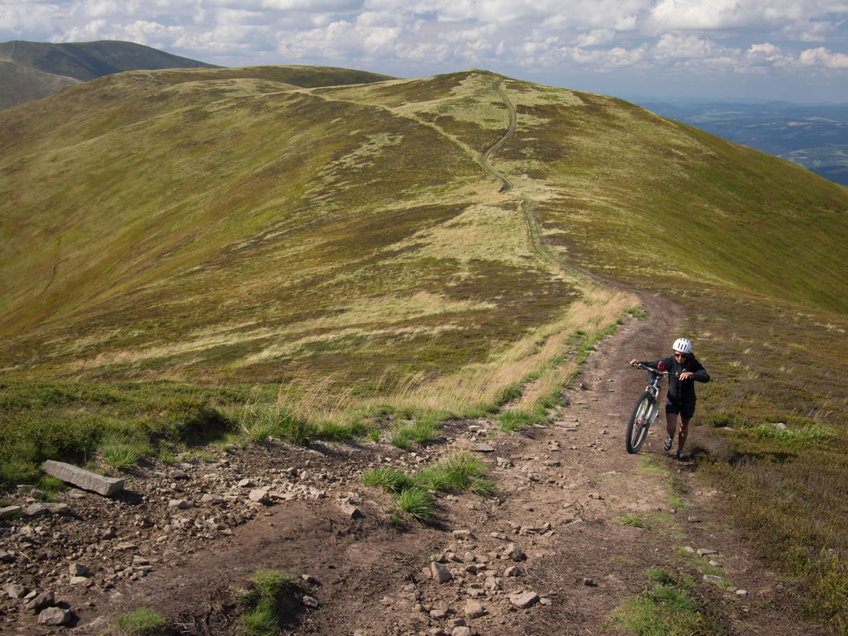
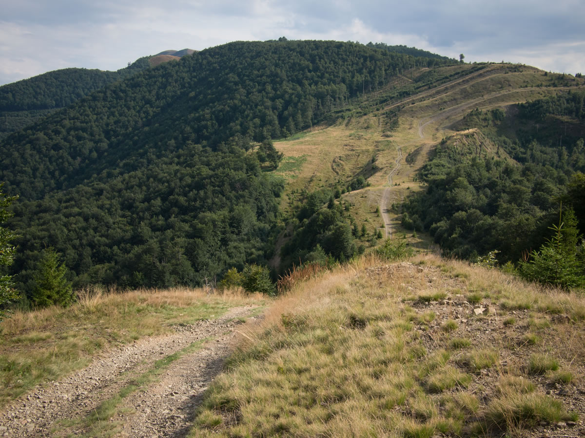
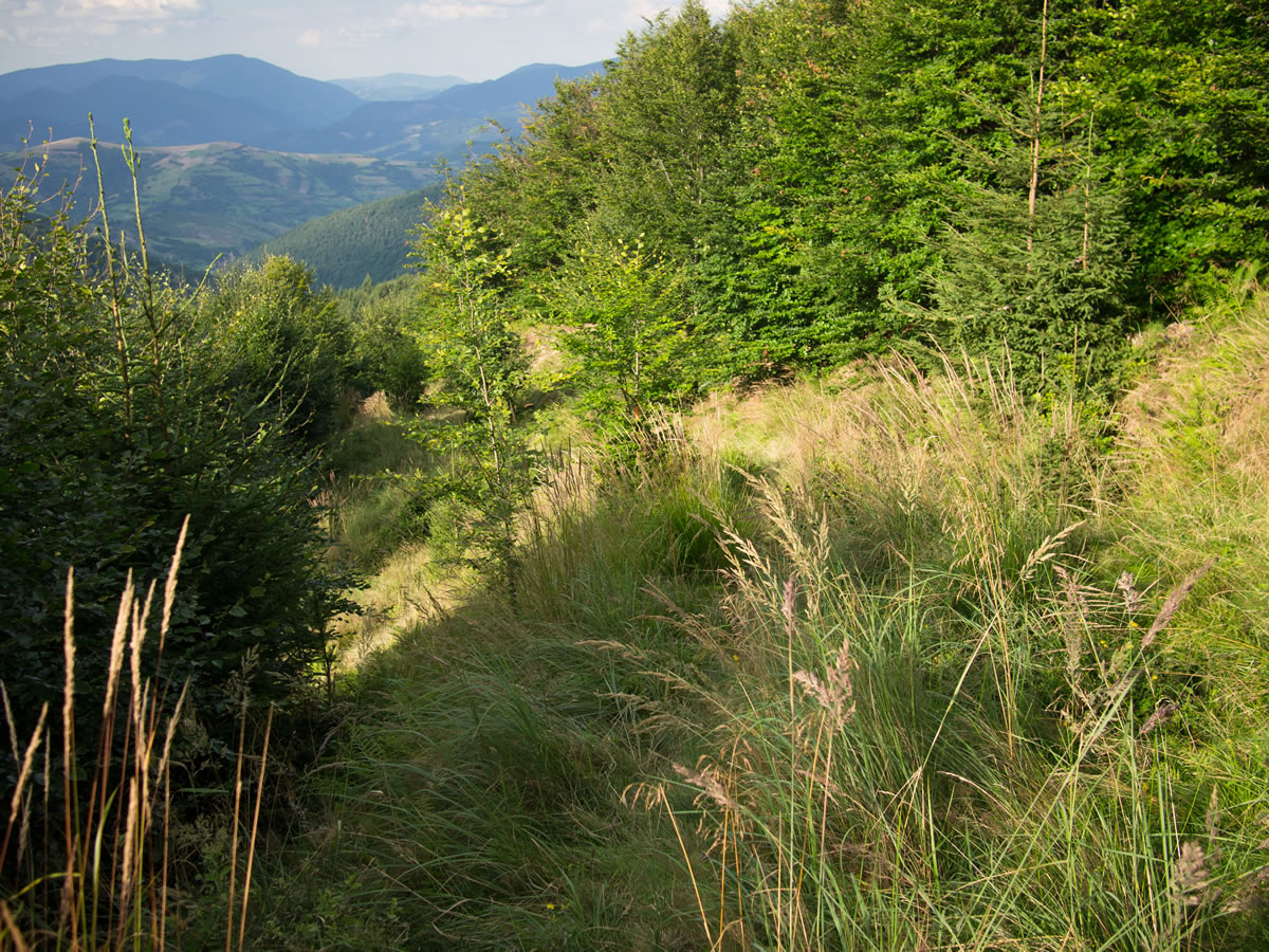
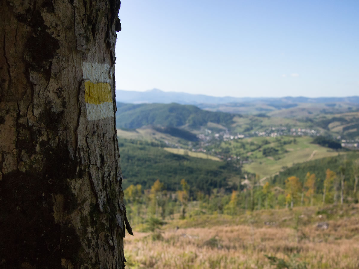
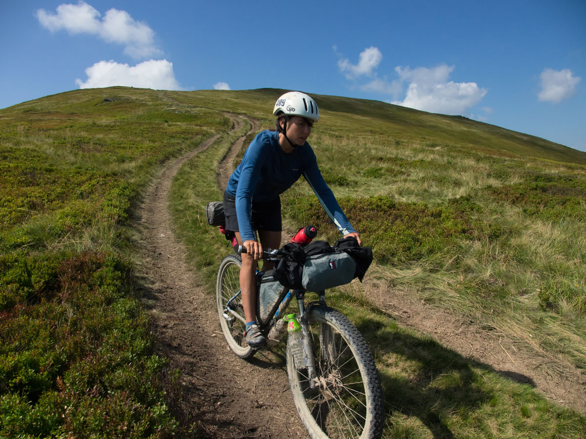
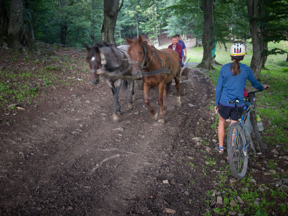
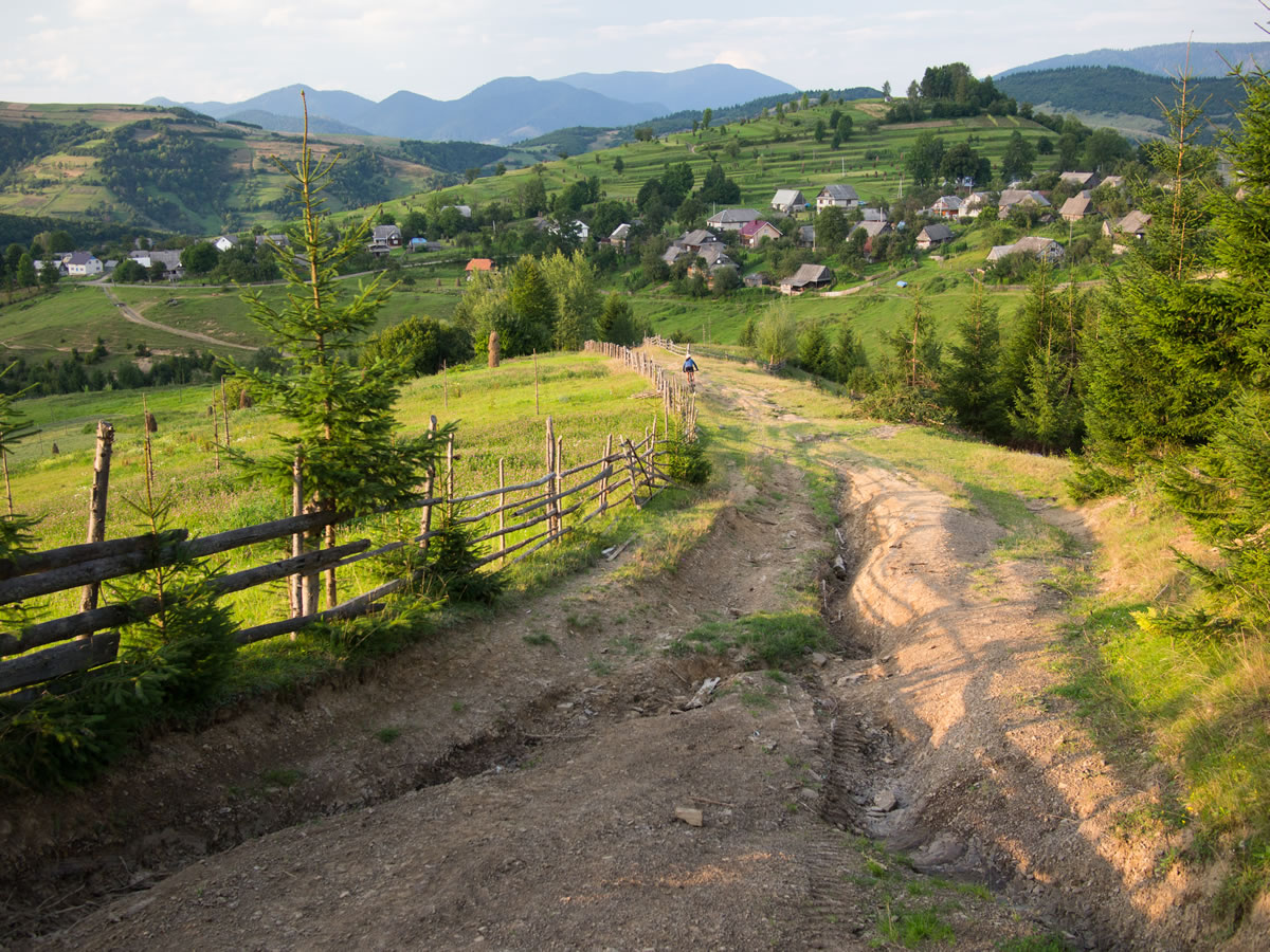
This ride connects a series of old 4×4 roads, presumably used by farmers and military over the last decades. From Volovets, turn left off the main street onto the red and yellow hiking trail. Stay with the yellow trail up the mountain, passing two springs up to the first major peak, Plai. From there, a small descent begins the next climb up to the highest point, Velikiy Verkh, at over 5000ft. From the top, or around the side if you prefer riding to pushing, you descend the ridge along the undulating grassy mountaintop, slowly losing elevation over every lesser peak. Near the end of the ride, descend into the trees to continue along lesser-used singletrack trails and doubletrack. Several routes eventually connect to Mizhirya and the valley below. Follow the instructions at the bottom of the page for a singletrack descent.
Most roads in Ukraine, and especially in the mountains, are in disrepair. If you plan a larger tour of the Ukrainian Carpathians, prepare for dirt road conditions on roads which were at once, technically, paved. A mountain bike of any kind is recommended, including a tire in excess of 2” (50mm).

Submit Route Alert
As the leading creator and publisher of bikepacking routes, BIKEPACKING.com endeavors to maintain, improve, and advocate for our growing network of bikepacking routes all over the world. As such, our editorial team, route creators, and Route Stewards serve as mediators for route improvements and opportunities for connectivity, conservation, and community growth around these routes. To facilitate these efforts, we rely on our Bikepacking Collective and the greater bikepacking community to call attention to critical issues and opportunities that are discovered while riding these routes. If you have a vital issue or opportunity regarding this route that pertains to one of the subjects below, please let us know:
Highlights
Must Know
Camping
Food/H2O
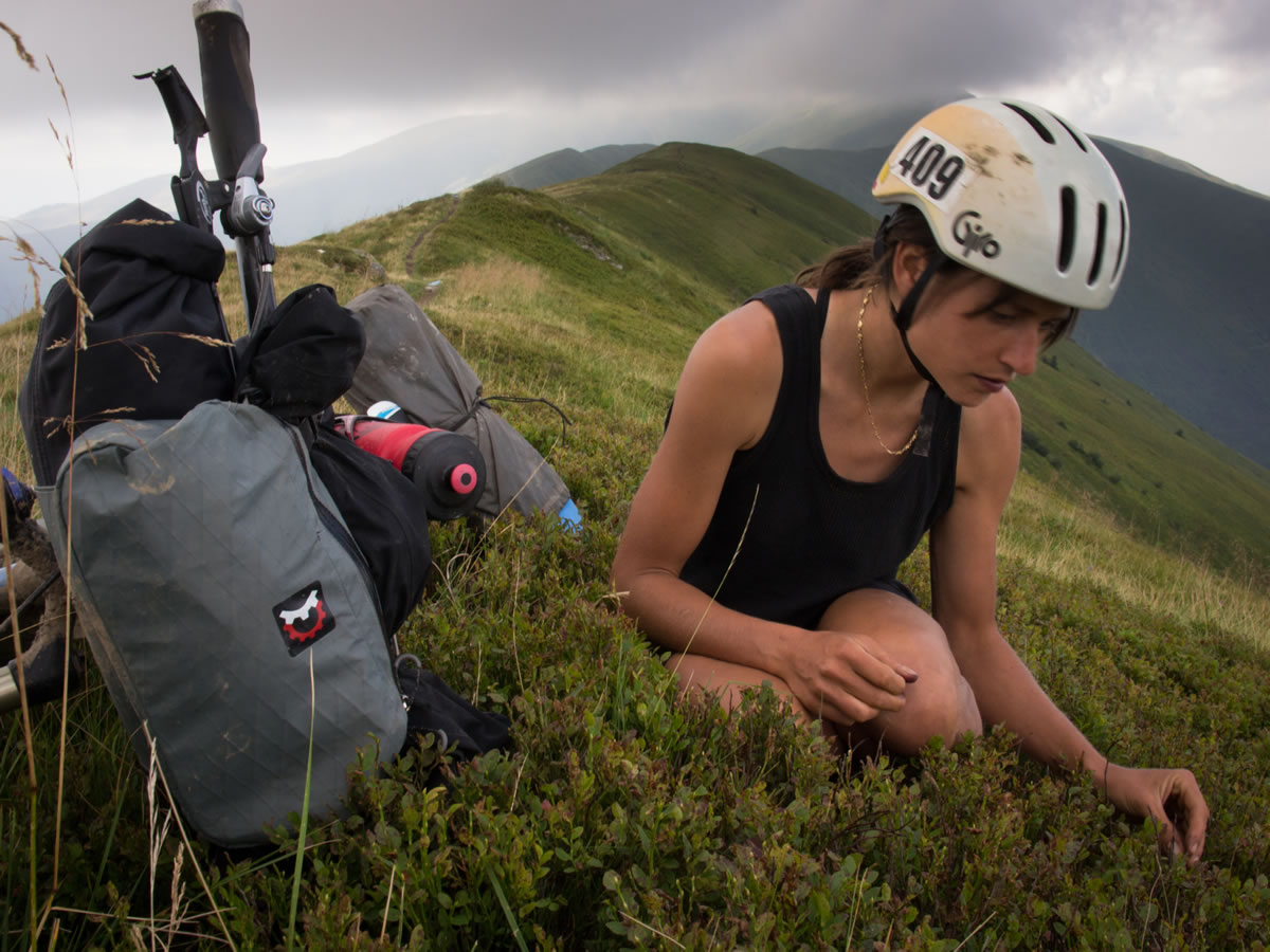
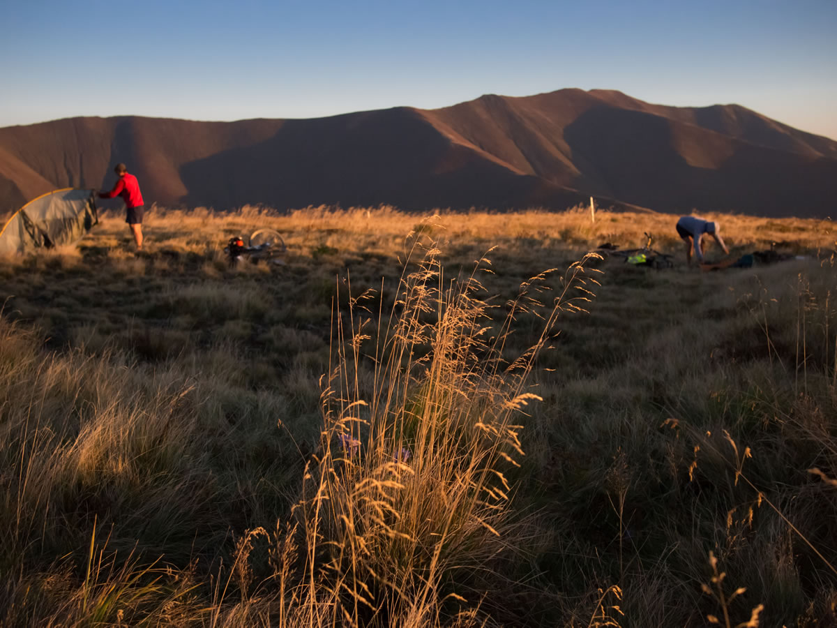
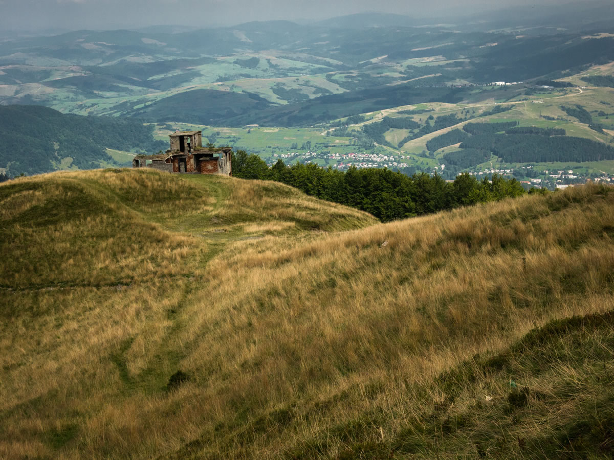
- Views in all directions, and to valleys below. Incredible camping up high.
- Wild blueberries in season, which also bring hordes of locals to adjacent hillsides. Mushrooms are found in the forests below.
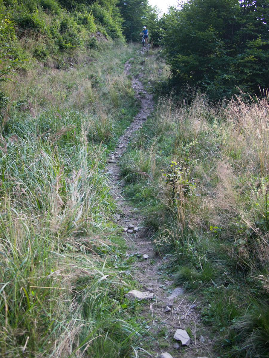
- A singletrack descent near the end of the ride, towards Mizhirya.
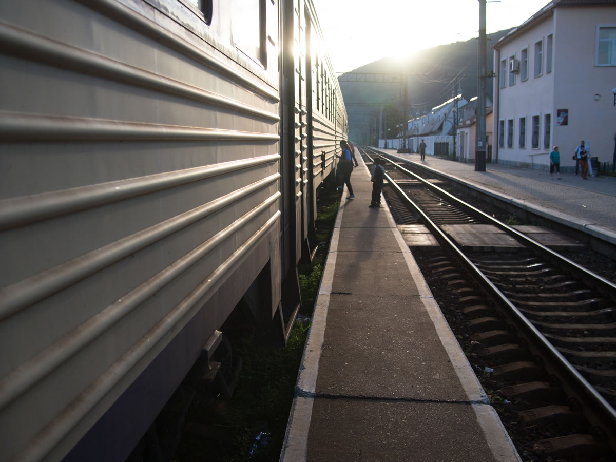
- Trains arrive multiple times daily from Lviv. The electro-poizd from the regional train station costs $1-2, and bikes are allowed. Expect to be hassled by the train attendants because of your bicycle. Purchase a baggage ticket (about $1) for the bike to make your life easier, although it is not strictly required. Nicer trains leaving from the main vokzal will arrive in less time, although bikes may be more difficult to load on the train. Travel time: 3-5hours. Alternatively, enjoy the ride to Volovets along quiet backroads.
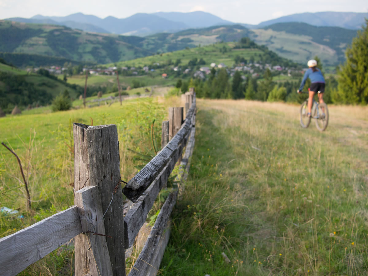
- The main ride climbs a dirt road and follows a doubletrack trail along the ridge. All but a few steep sections are rideable. Nearing Mizhirya, the route turns to singletrack for some time. Here, there are several options to descend to the valley. As you descend the ridge and re-enter the forest, turn left onto the first track you encounter, which will descend to Richka. Continuing on the red trail leads to some rideable singletrack around a low peak, then back to doubletrack on the ridge. At the junction of the green trail and the red trail, turn left down the dirt road to arrive in Lozyanskiya, a village just upstream of Mizhirya. Further along the ridge, you encounter a low saddle following an extremely loose and steep descent. Continue back up the other side about 150yards and take a quick turn left into the meadow, which should be signed as the red trail on a rock. The red trail continues into the trees, first as rideable singeltrack, then as a section of hike-a-bike due to downed trees and stream erosion. As you come through the thickest part of the trail you rejoin a doubletrack, continuing to the left– this is still the red trail and should be marked. You pass a grassy area which may be in use by sheep herders as a grazing area and camp to prepare smoked cheese. You may be expecting a long descent into town by this time. As soon as the trails turns sharply upward over a peak, look to the left for a gorgeous singletrack trail, punctuated with rocks, but with an otherwise smooth dirt surface. Follow this spectacular trail downward until the upper reaches of farmland above town. Once there, pick a dirt road and descend, as they all end in the same drainage. As a fourth option, remain on the red trail to ride directly into Mizhirya. The route indicated on the map is the third option, which includes the most singletrack and a few sections of trail so perfect for mountain biking you will wonder if you are still in Ukraine.
- From Pylypets, about 15km from Volovets, it is possible to take a chairlift up about 1500ft during the summer months for about $3. There is a cool cafe serving natural food and drink at the top of the ski area. You will still climb to the ridge, to the peak named Hymba. This shortens the ride considerably. Pylypets is also home to an annual MTB Marathon, featuring three routes of varying length. Look to these routes for more rides in the area.
- It is possible to camp almost anywhere once out of town. The ride is essentially a big day ride, but camping up high is a highlight. There are many great places to camp on the ridge.
- There are hotels in Volovets, Pylypets, and Mizhirya. Continue the ride over a paved pass to Kolochava for an inexpensive and welcoming stay at the Četnická Stanice guesthouse.
- From Volovets there are two springs on the way up to Plai, the first major peak. Pack a bottle from town, and fill up to capacity near the top of the climb. No water is found on the ridge.
- Food is available in Volovets and Mizhirya, at the beginning and end of the ride. Blueberries are in season, briefly, in August. Mushrooms are found in abundance in the lower forests.


Terms of Use: As with each bikepacking route guide published on BIKEPACKING.com, should you choose to cycle this route, do so at your own risk. Prior to setting out check current local weather, conditions, and land/road closures. While riding, obey all public and private land use restrictions and rules, carry proper safety and navigational equipment, and of course, follow the #leavenotrace guidelines. The information found herein is simply a planning resource to be used as a point of inspiration in conjunction with your own due-diligence. In spite of the fact that this route, associated GPS track (GPX and maps), and all route guidelines were prepared under diligent research by the specified contributor and/or contributors, the accuracy of such and judgement of the author is not guaranteed. BIKEPACKING.com LLC, its partners, associates, and contributors are in no way liable for personal injury, damage to personal property, or any other such situation that might happen to individual riders cycling or following this route.
Please keep the conversation civil, constructive, and inclusive, or your comment will be removed.