


The Capricorn’s Trail, Switzerland
Distance
75 Mi.
(121 KM)Days
3-4
% Unpaved
100%
% Singletrack
80%
% Rideable (time)
70%
Total Ascent
21,099'
(6,431 M)High Point
10,335'
(3,150 M)Difficulty (1-10)
8?
- 10Climbing Scale Very Strenuous281 FT/MI (53 M/KM)
- -Technical Difficulty
- -Physical Demand
- -Resupply & Logistics
Contributed By
Daniel Wilhelm
Guest Contributor
Daniel’s first mountain biking overnighter was a disaster. To much heavy gear killed any fun. After many gravel and road multi-day trips in South America, Iceland and beyond, he attempted “bicycle mountaineering” again in 2010 and got addicted. See Daniel’s trips on his Flickr page.
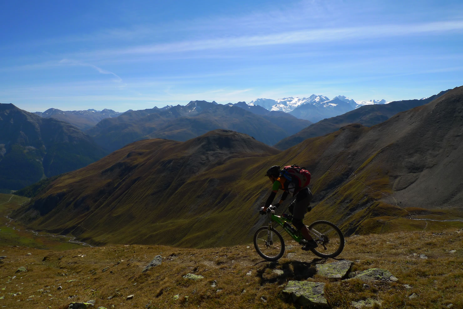
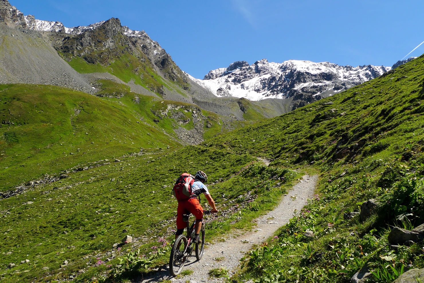
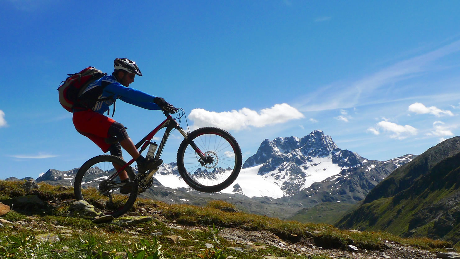
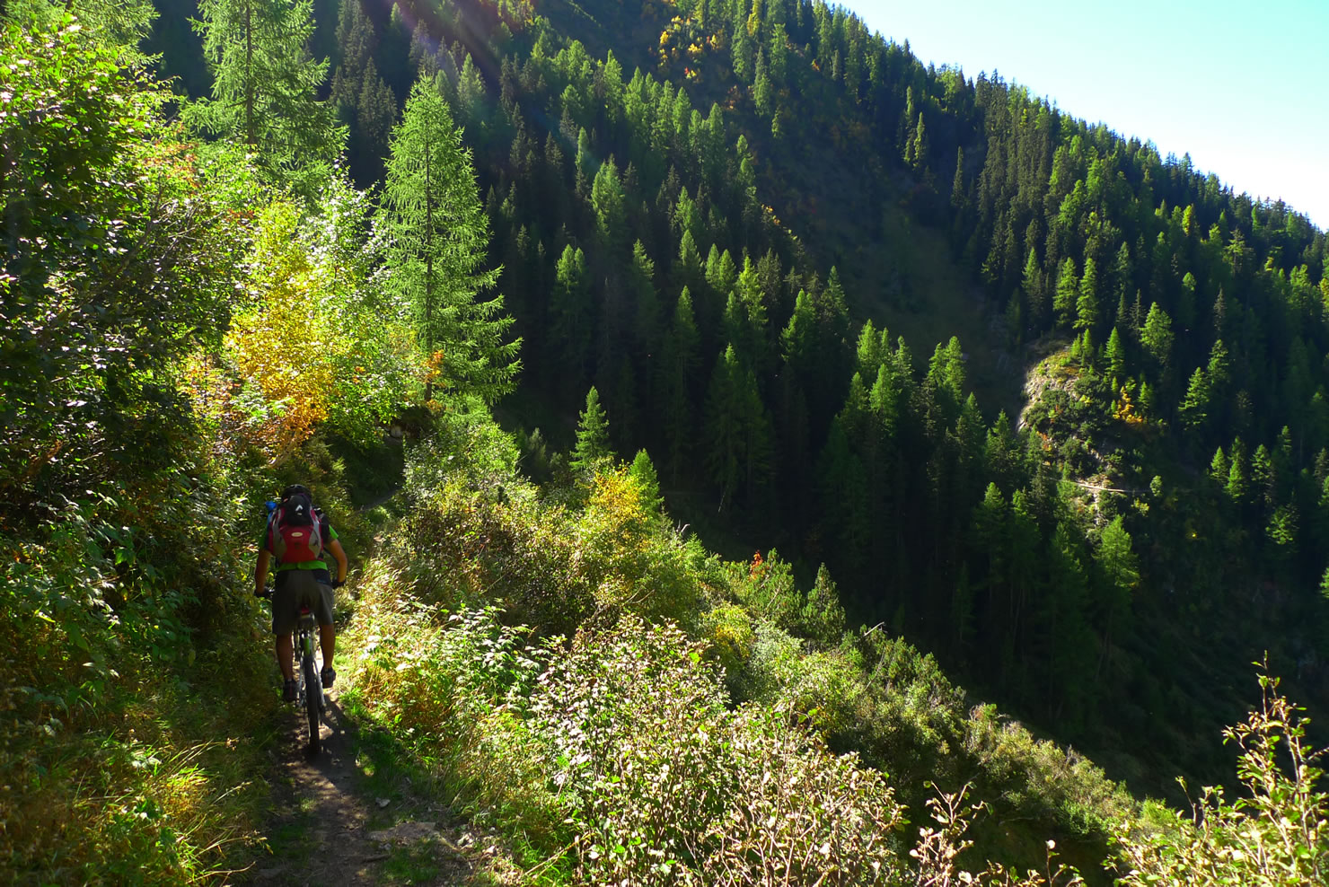
Davos stands for singletracks. They claim to have an Enduro-Tour with 10‘000m singletrack-downhill without using one trail twice. Luckily there are far more trails in the valleys and passes where there are no gondolas. Thanks to the long hiking tradition the whole region is covered by nice hiking trails on which mountainbiking is tolerated. The mountains are not very steep and rocky so most of the trails are rideable – at least at downhill.
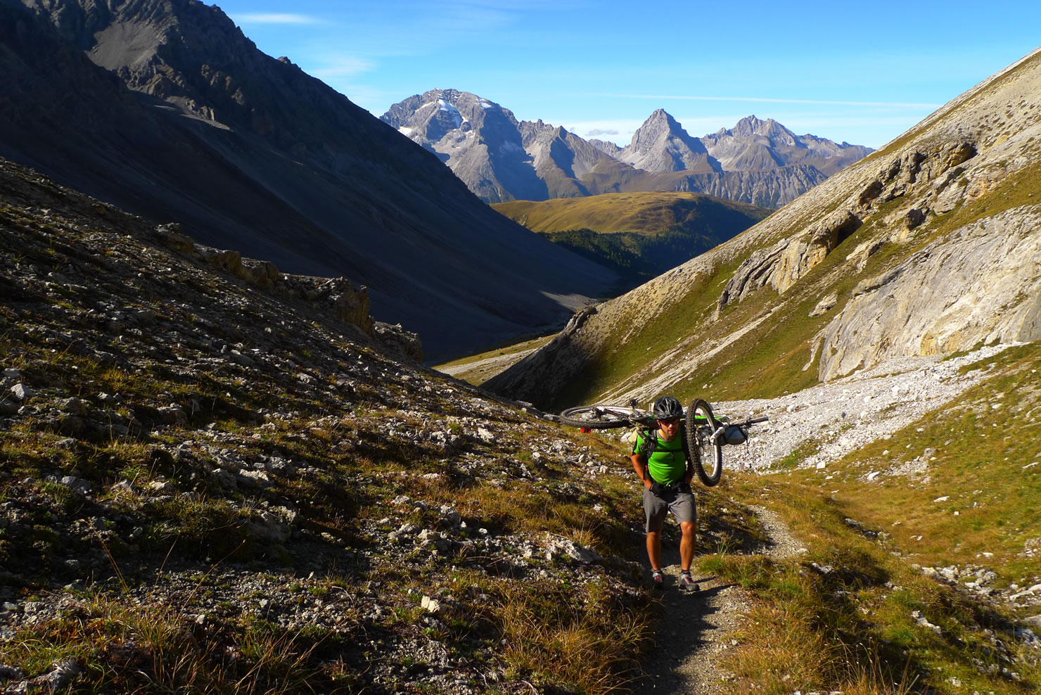
The idea of this route is linking interesting bits of this network together including the two main passes Sertigpass and Scalettapass which are both old muletracks. In some areas you can still see the old natural cobbles. Adding to those historic interesting passes the Ducanfurgga and the Fuorcla Pischa you’ll spice your trailsoup with two epic downhills – and, yes, with two long climbs where the bike has to be shouldered.
On almoust every pass you cross on this trip you also cross the language border between german speaking Davos and rumantsch speaking Engadine. Rumantsch is the forth language of Switzerland after German, French and Italian. Until the middle Ages Rumantsch was spoken also in Davos as you can see on many toponymes on the map, but then german speaking groups arrived from the west (Walser).


Submit Route Alert
As the leading creator and publisher of bikepacking routes, BIKEPACKING.com endeavors to maintain, improve, and advocate for our growing network of bikepacking routes all over the world. As such, our editorial team, route creators, and Route Stewards serve as mediators for route improvements and opportunities for connectivity, conservation, and community growth around these routes. To facilitate these efforts, we rely on our Bikepacking Collective and the greater bikepacking community to call attention to critical issues and opportunities that are discovered while riding these routes. If you have a vital issue or opportunity regarding this route that pertains to one of the subjects below, please let us know:
Highlights
Must Know
Camping
Food/H2O
Trail Notes
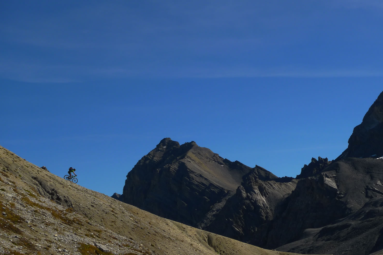
- High alpine climbing
- Downhill from Ducanfurgga to Sertig – high alpine pumptrack
- Uphill Sertigpass – enjoy the old muletrack
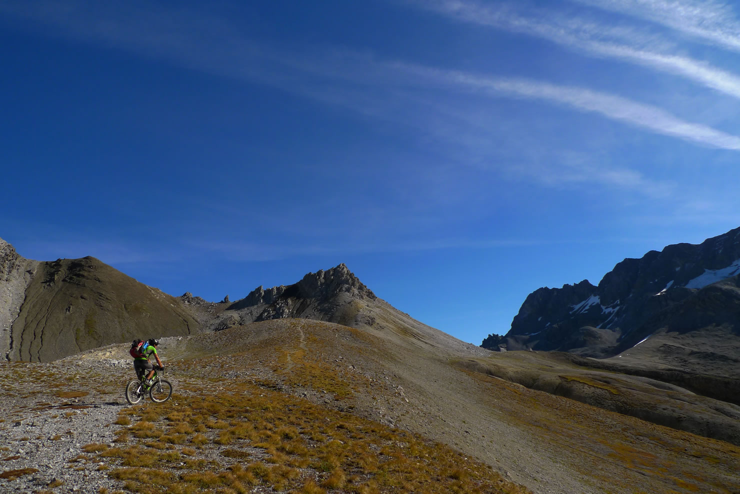
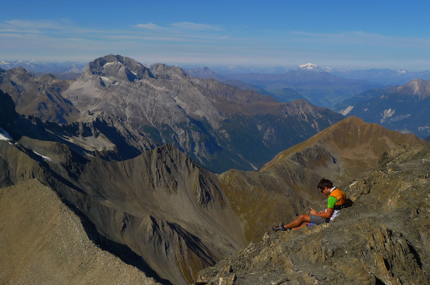
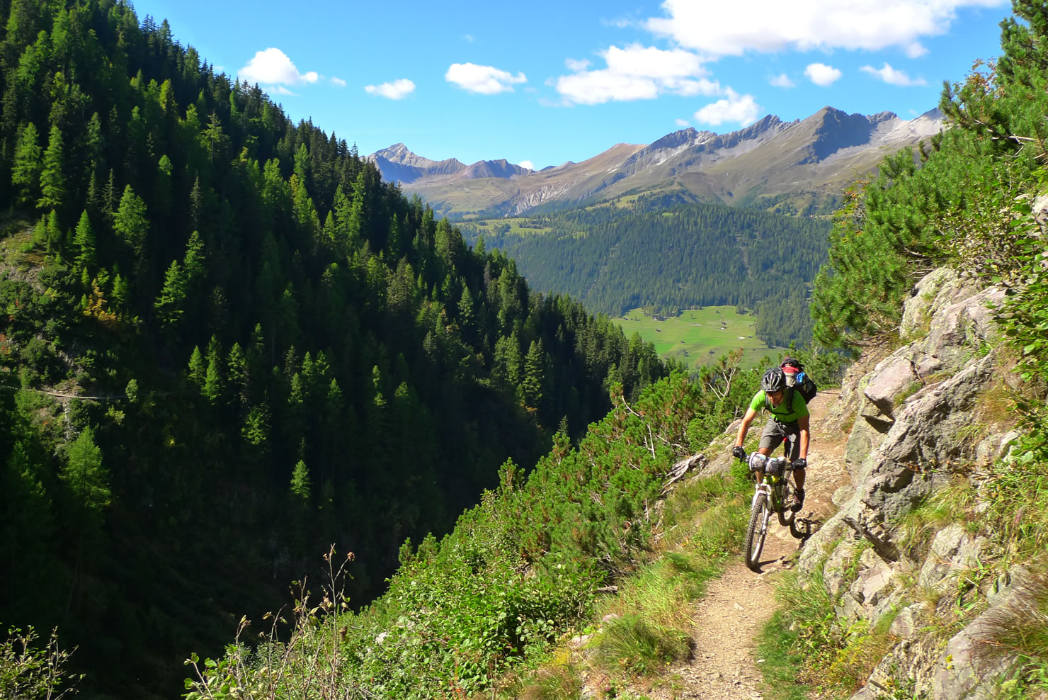
- Piz Blaisun (3200m) next to Fuorcla Pischa – splendid panorama
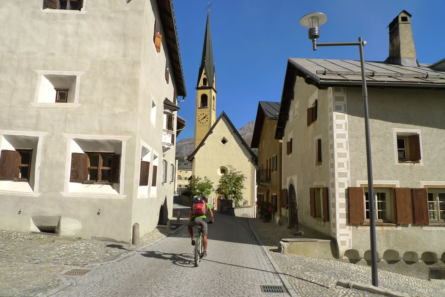
- Downhill from Fuorcla Pischa to Zuoz – after a hard start great trails from the glacier to the Engadin with ist special architecture.
- The ideal riding season is between July and October. In June there may still be serious amounts of snow. Depending the first snowfall the tour can be done later in the year.
- The weather conditions can change quickly, especially thunderstorms are frequent and can be dangerous.
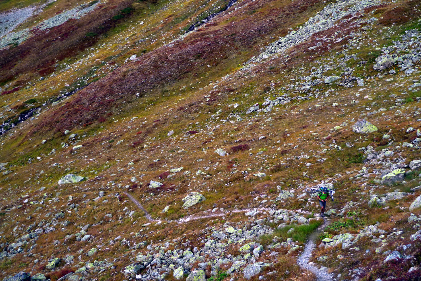
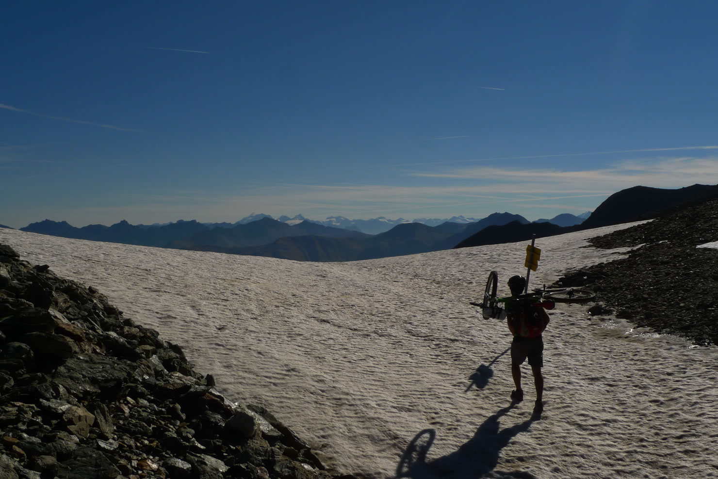
Bring your fullsuspension all-mountain or light enduro bike. You’ll enjoy the downhill more – and it’s all about the downhills. - You have to be able to shoulder all your stuff for long stretches (1.5-2h in the climb to Fuorcla Pischa). The climb after Jenisberger Alp is very steep and slippery when wet.
- It’s an alpine area, so you can fall in canyons, hurt yourself, get lost etc. Mountain rescue services in Switzerland are very advanced but in many places you won’t have any network coverage.
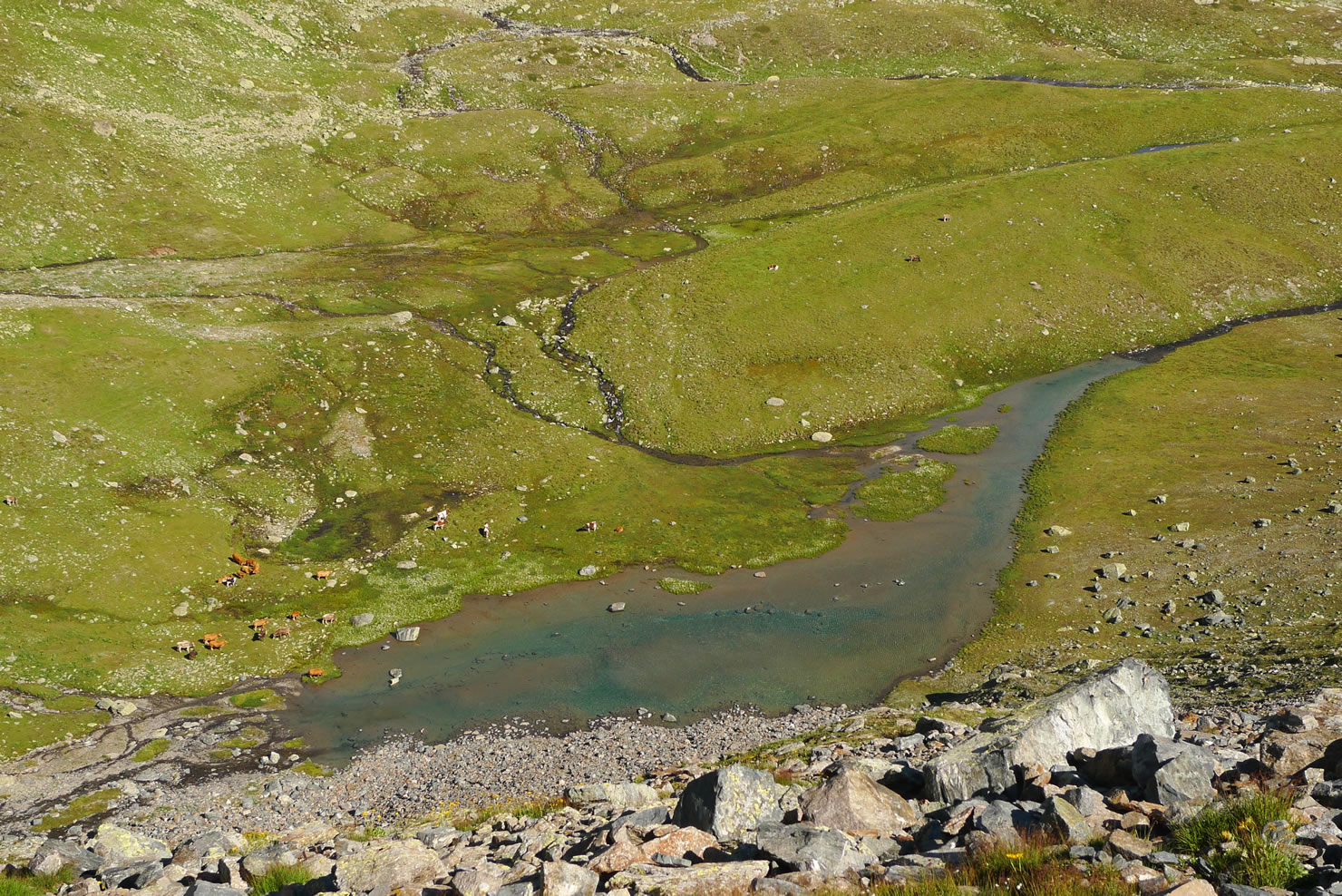
- In summer you’ll have to pass herds of cows and sheep. Don’t separate the cows from their calves and whatch out if there are herd protection dogs with the sheep. Do not get close!
- Wildlife: If you’re lucky you can see marmots, rabbits, ptarmigans, capricorns, chamois, deer, foxes etc. There are even some lonely wolves and sometimes an even lonelier bear.
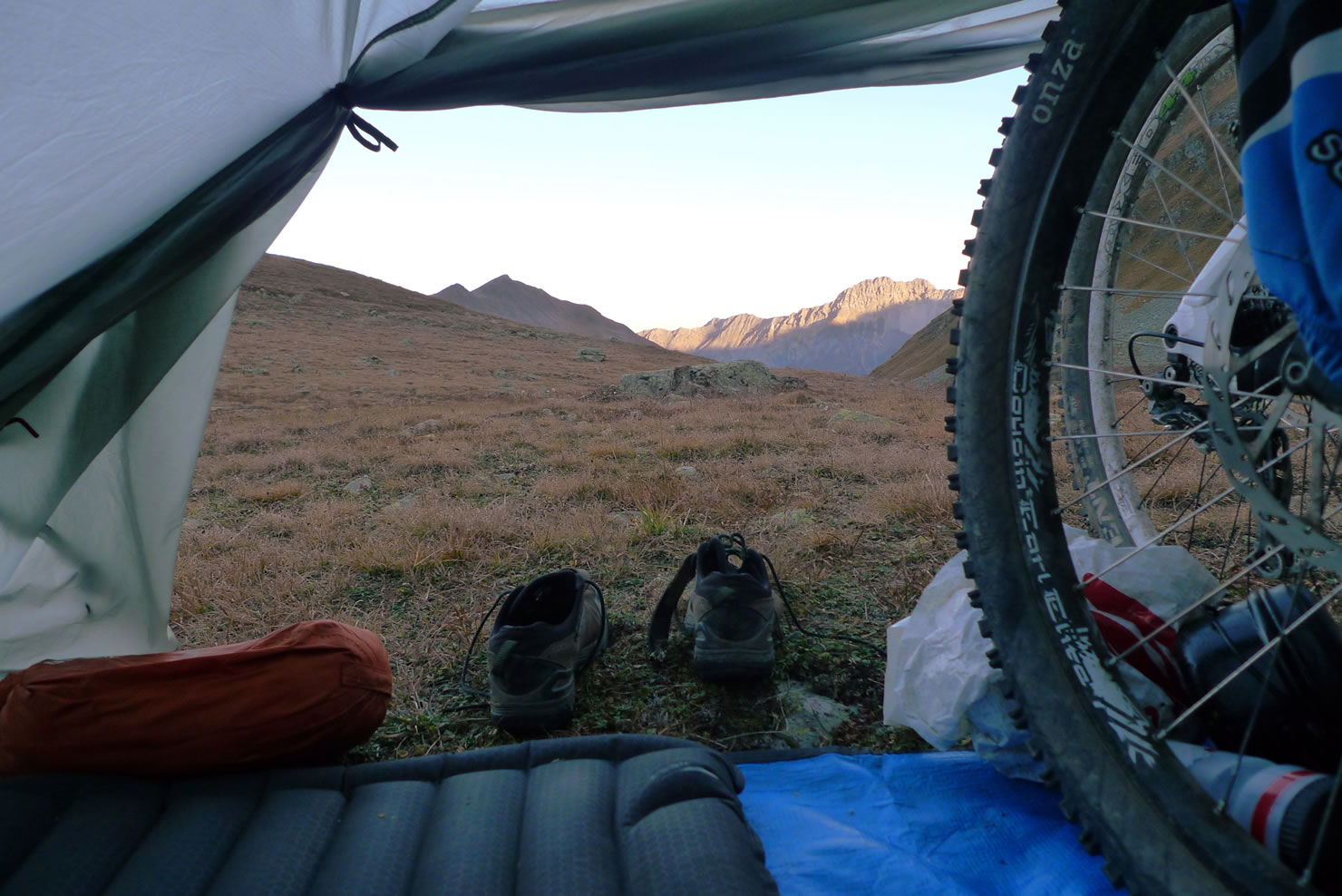
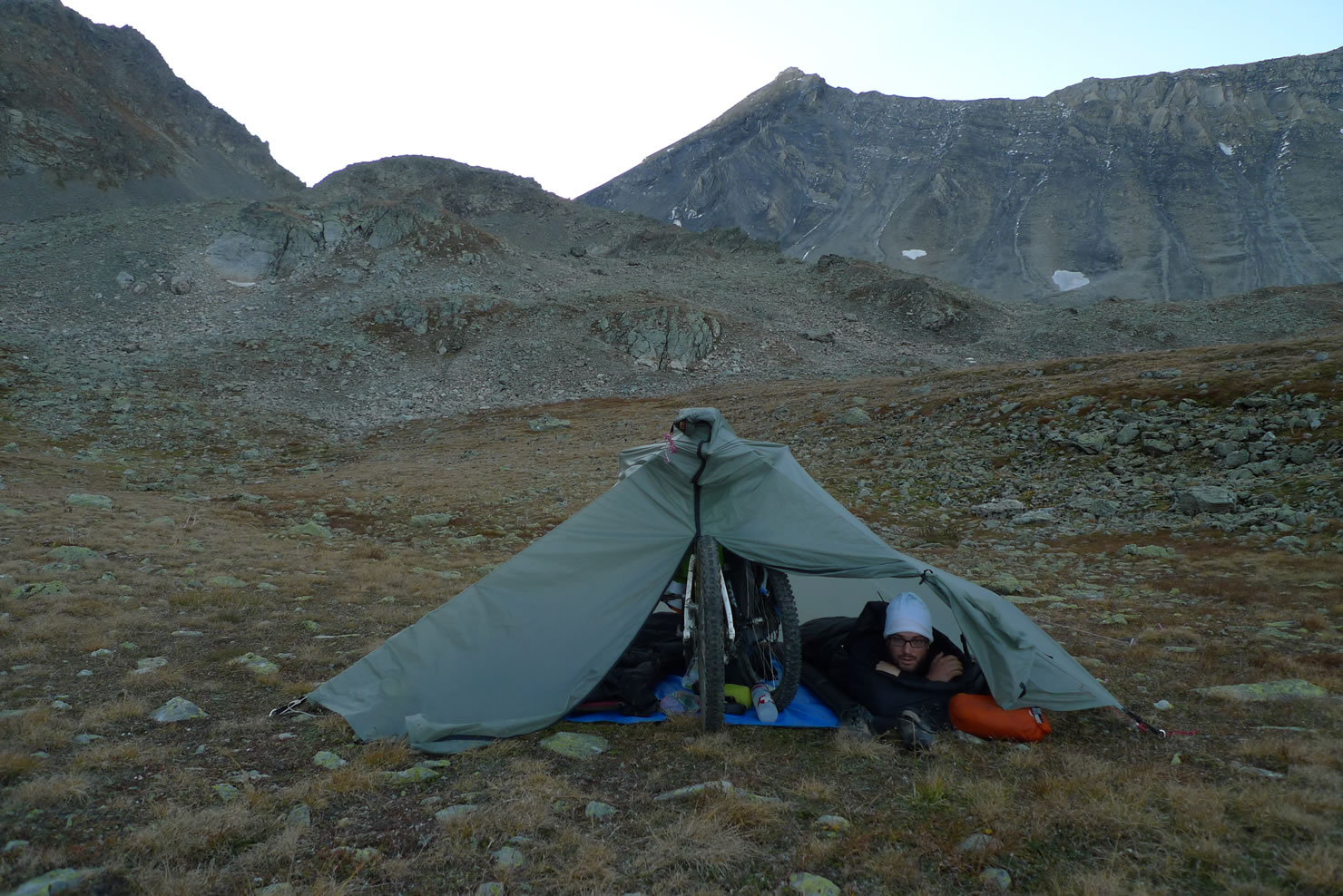
- In mountainous areas above 2000m bivouacking is mostly tolerated; see this article.
- Water isn’t a problem. You’ll find many fountains (more than in the map indicated). We also use to drink the water from the streams if there are no cows above, although this might be considered as risky. So, you’re sure if you filter it.
- There are some restaurants next to the route. The only stores after Davos are in Zuoz (closed on Sundays!)
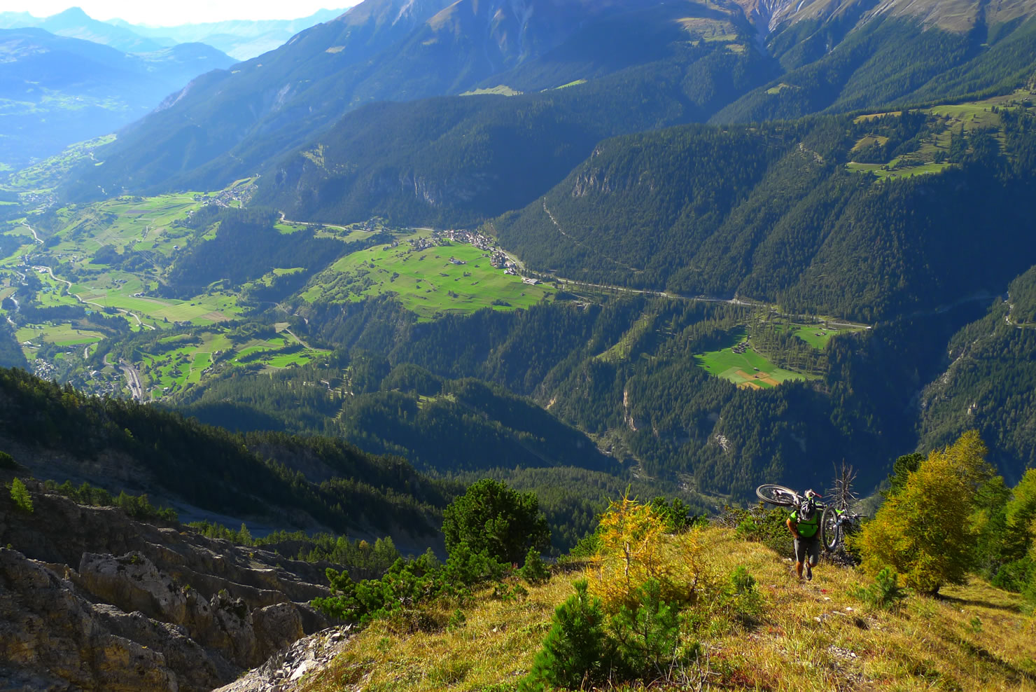
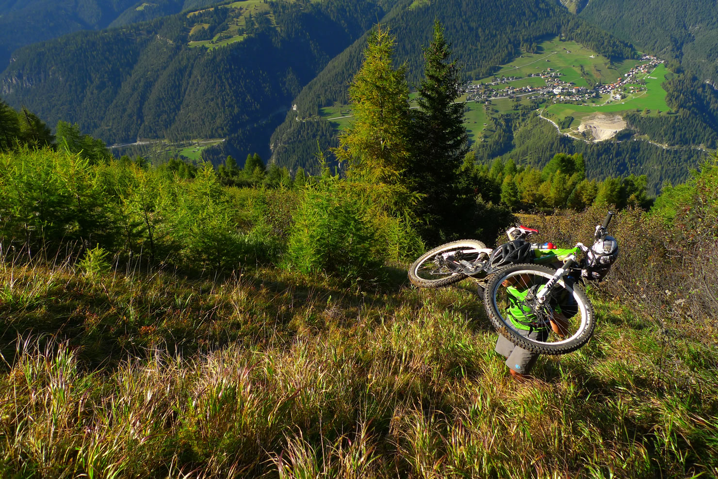
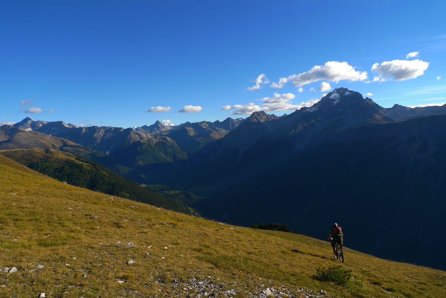
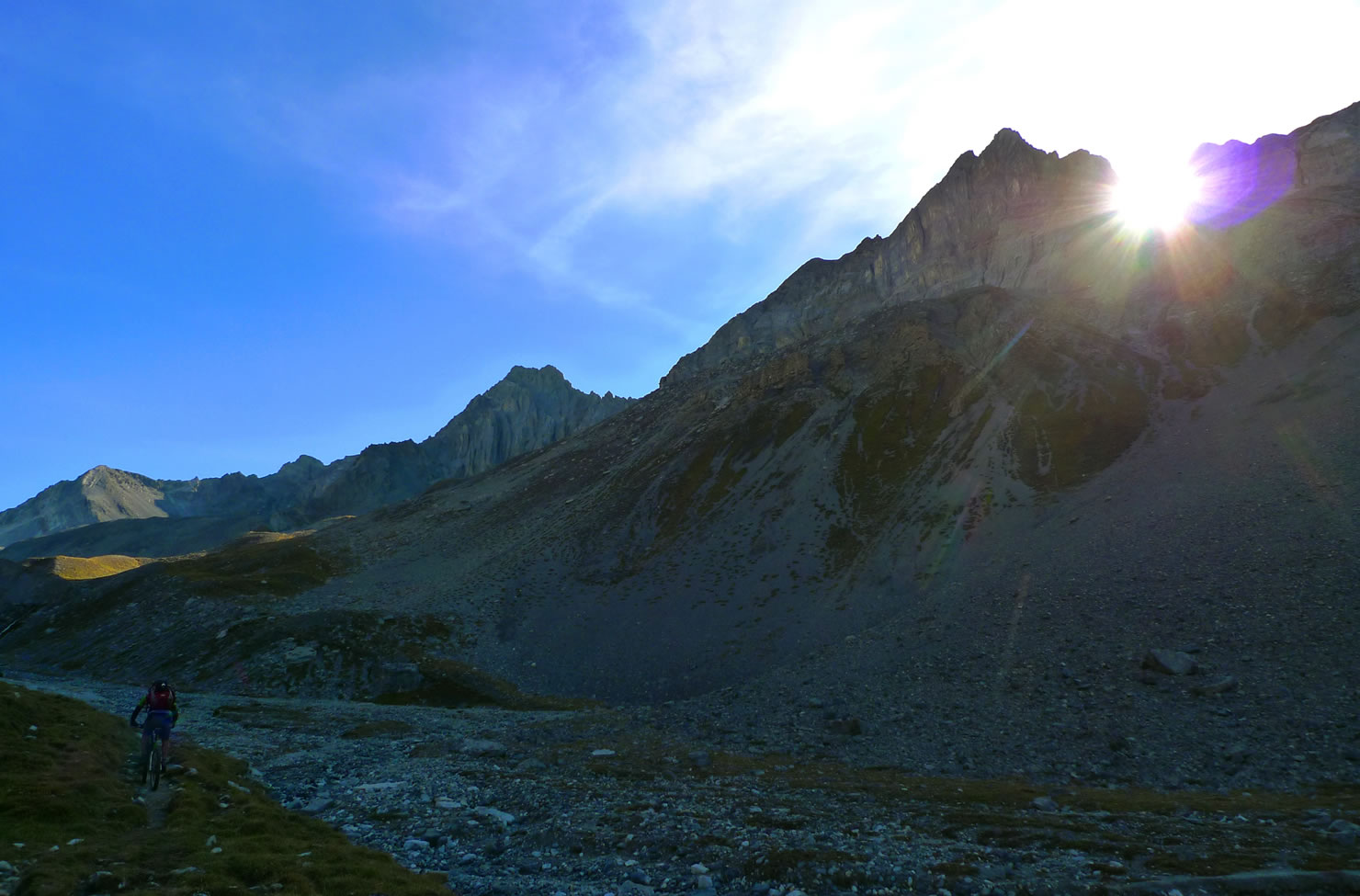
The trip starts in Davos. Either you take the gondola to Jatzmäder or you bike up. Then you follow the isohyptic trail to Jenisberg with a fast downhill in the end. Now an uphill starts. First rideable, but after a scetchy valley-crossing you have to get up an incredibly steep mountain with your bike on your shoulders.
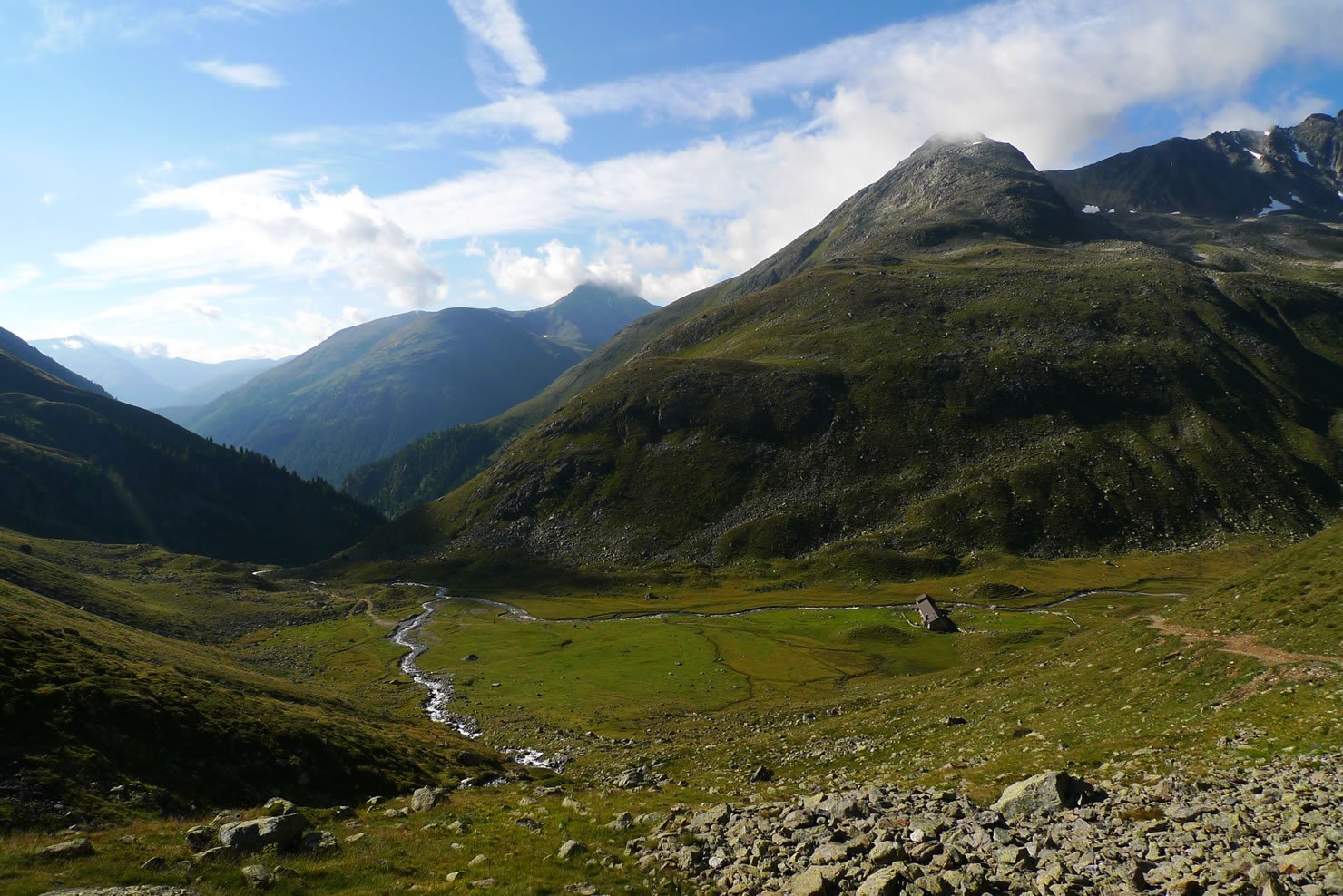
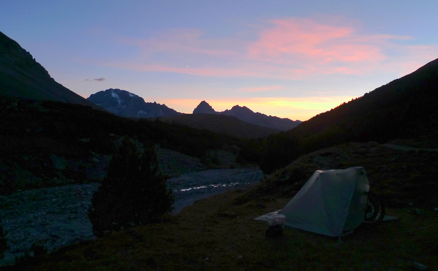
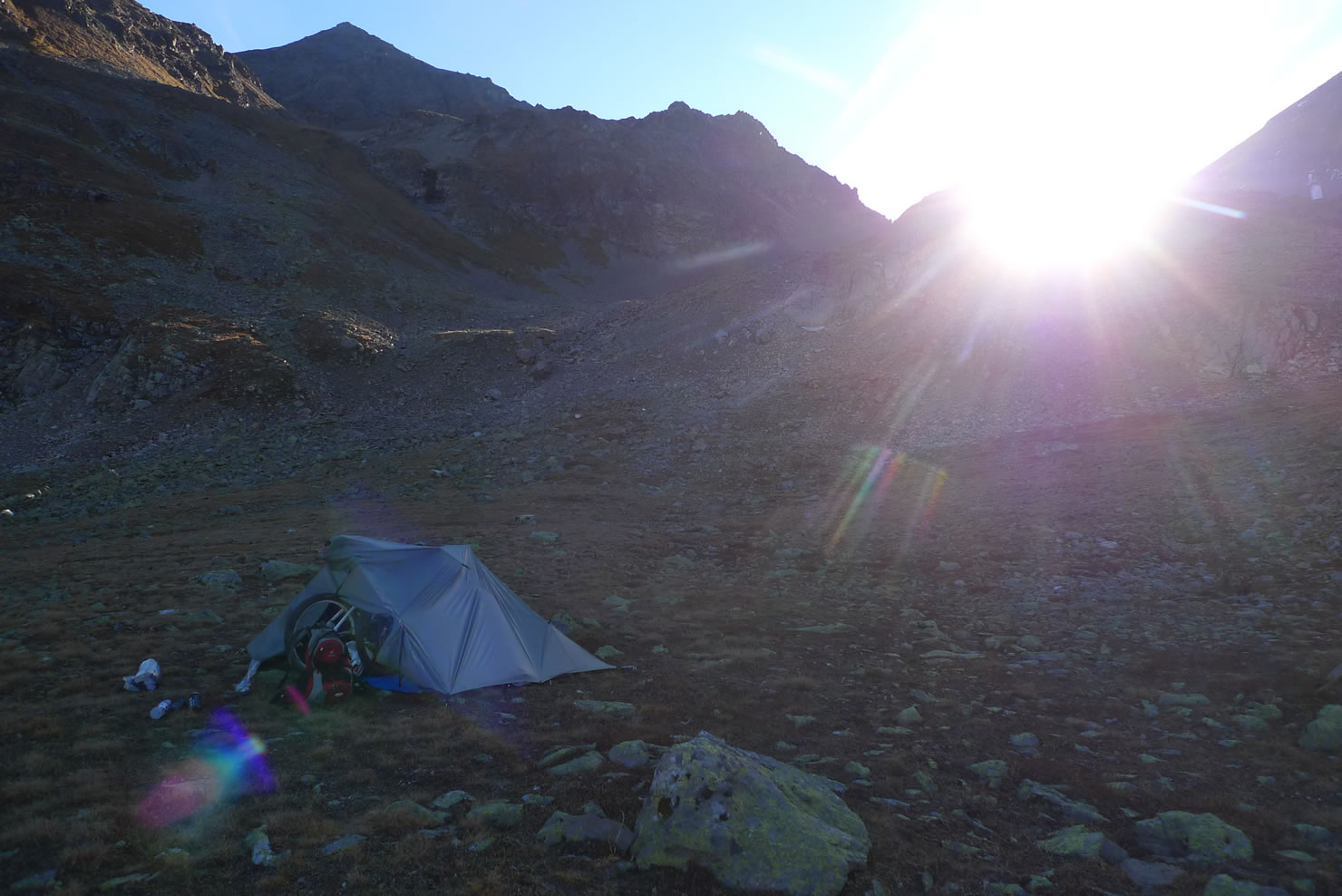
The downhill to Falein is quite bumpy but otherwise ok. Here you enter the Val da Stugl. A little bit up the valley there are nice camping spots.
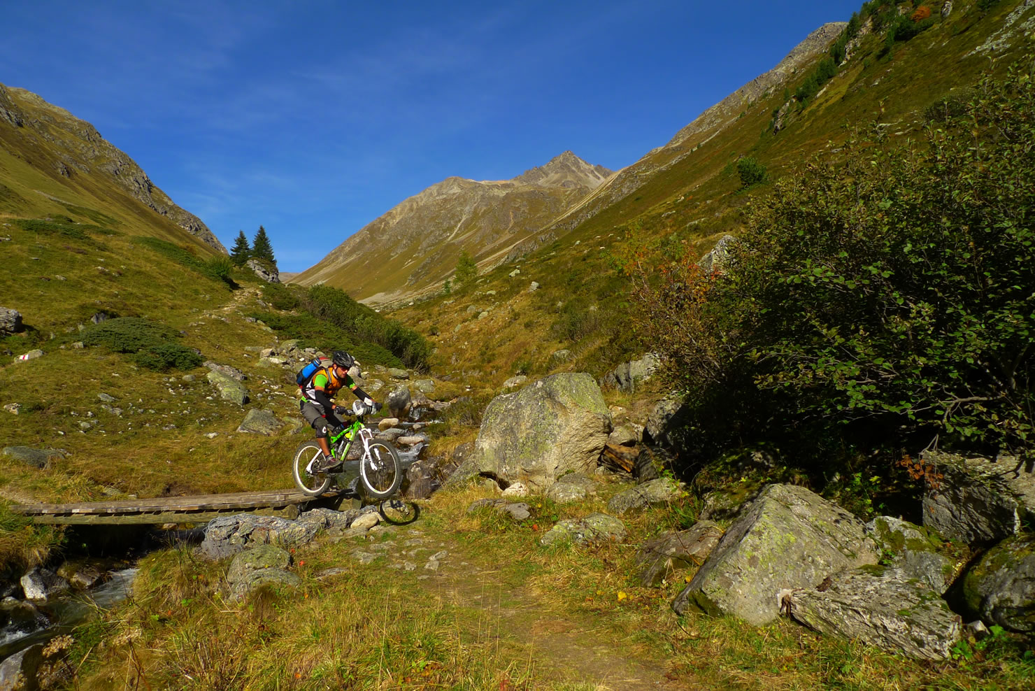
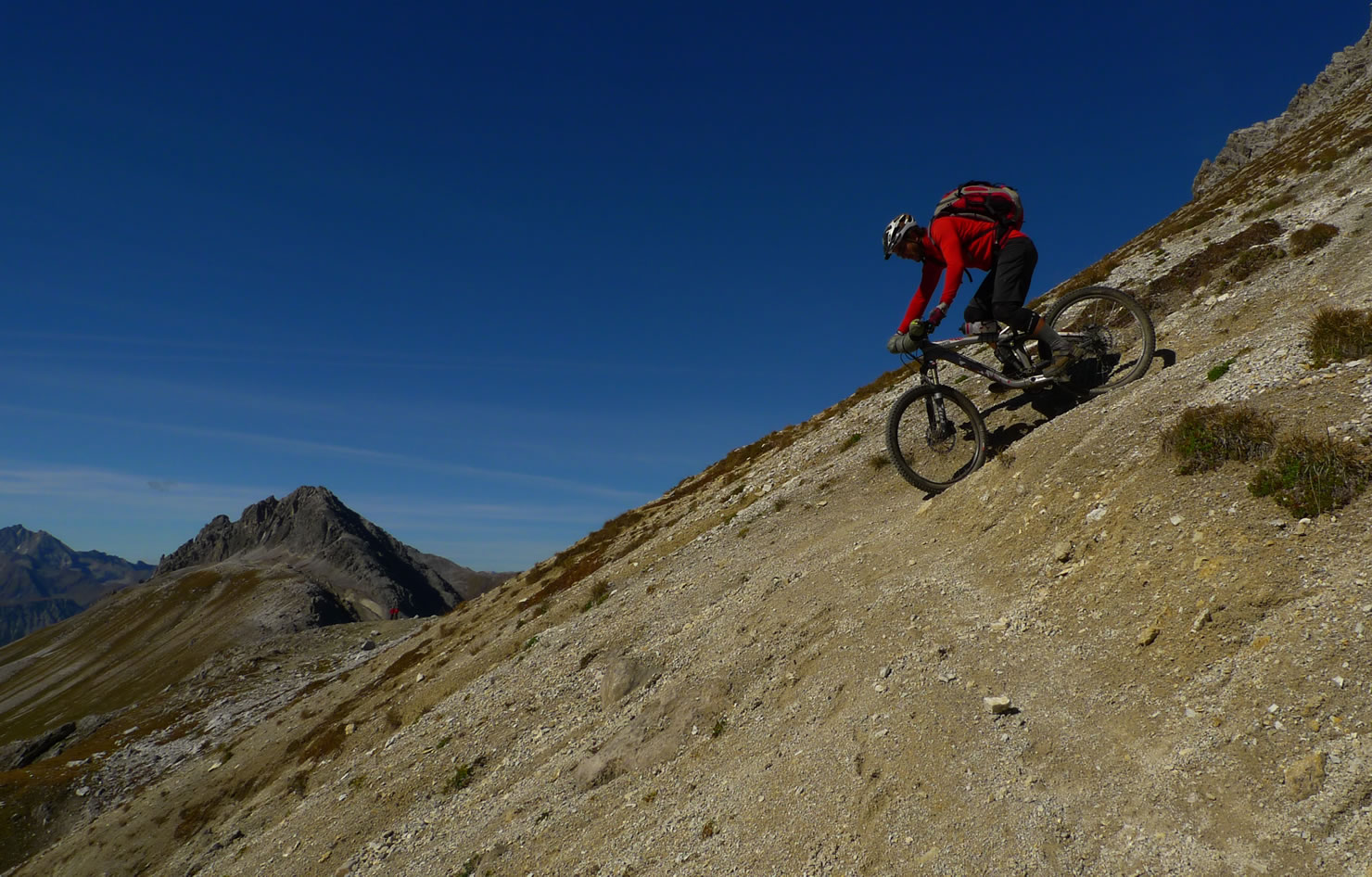
The next day starts with a long hike up to Ducanfurca. The downhill to Sertig is just perfect. Mostly easy singletrack riding in a pittoresque high alpine valley.
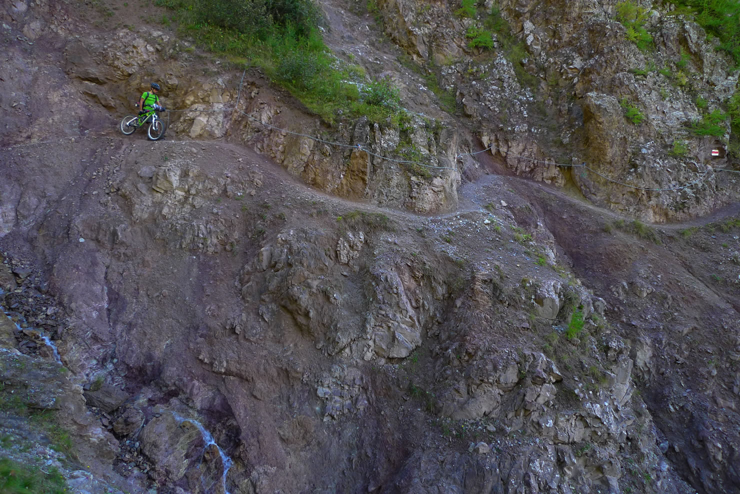
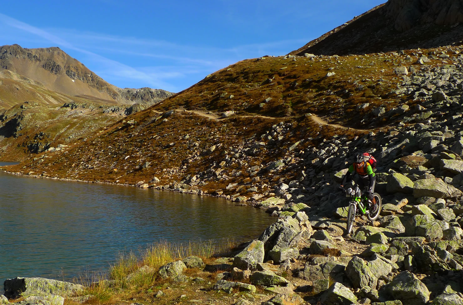
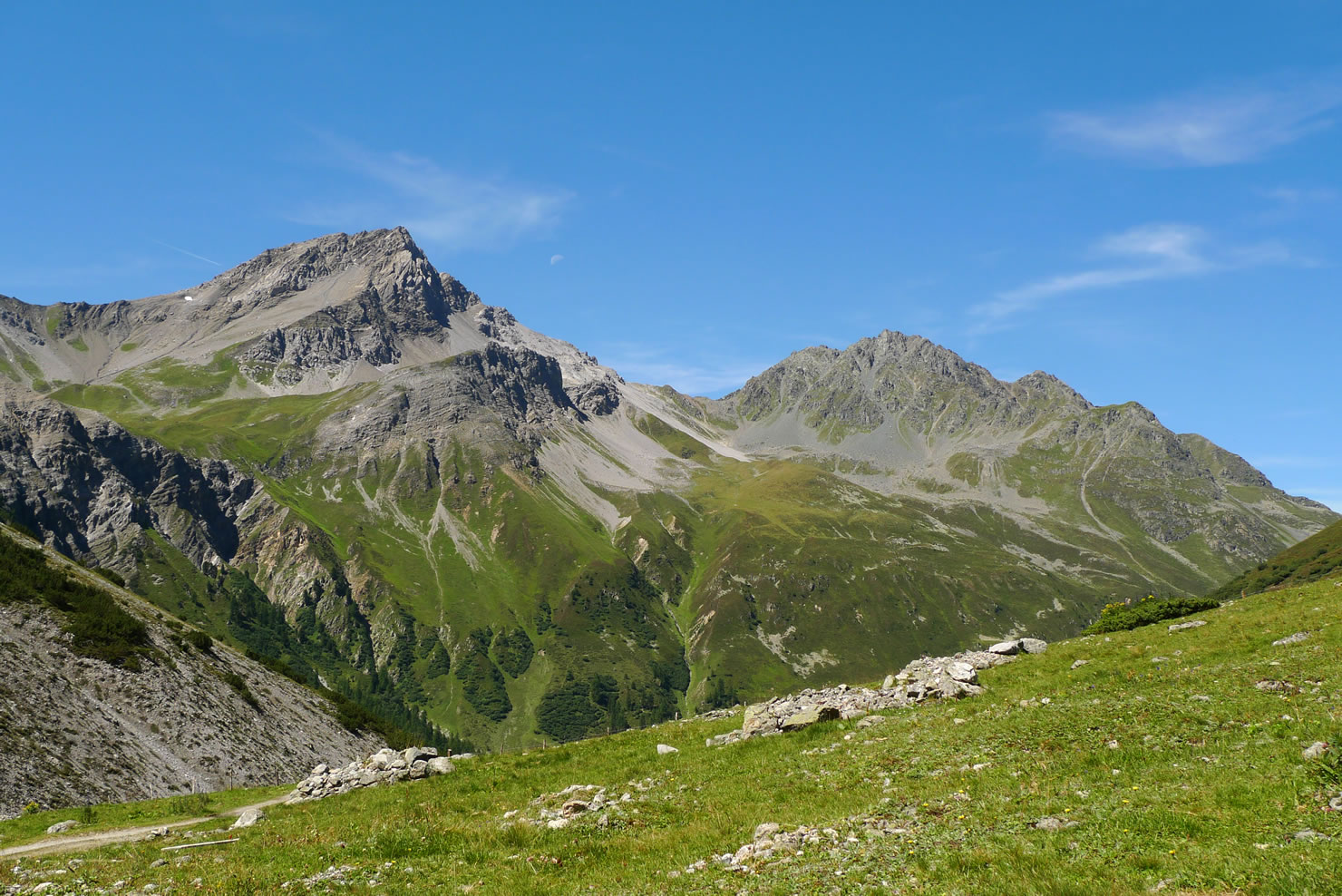
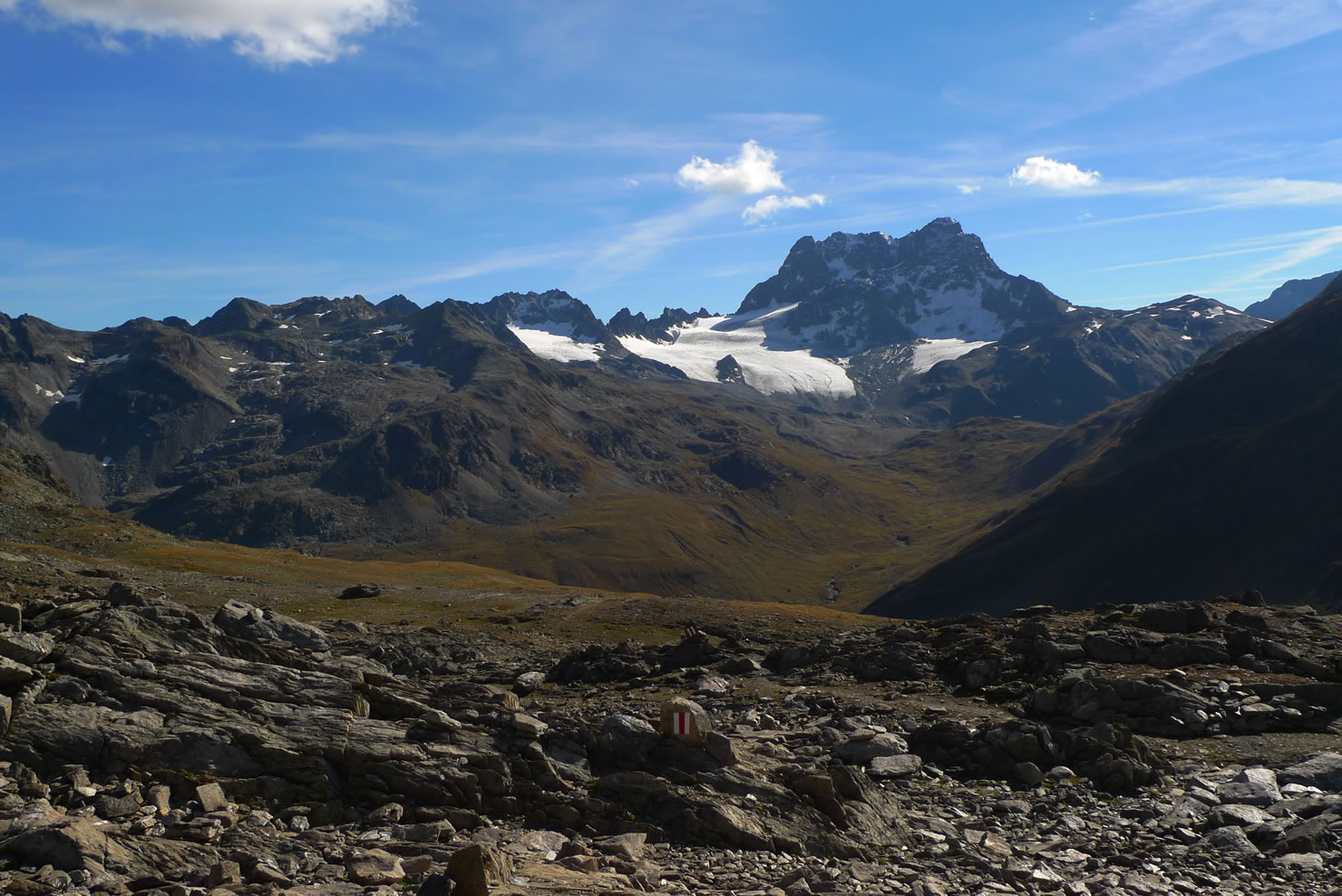
In Sand there is a restaurant. Then our way goes up to Sertigpass. This was once a quite important route to the south so a lot of it is rideable. At Sertigpass we have a spectacular view to Piz Kesch and its glacier.
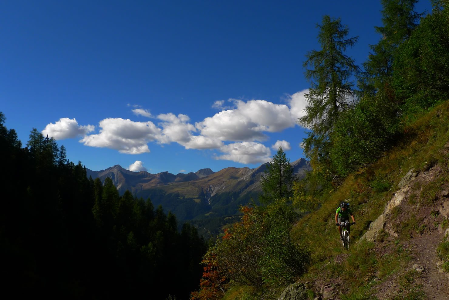
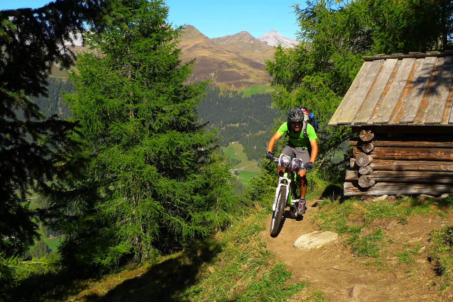
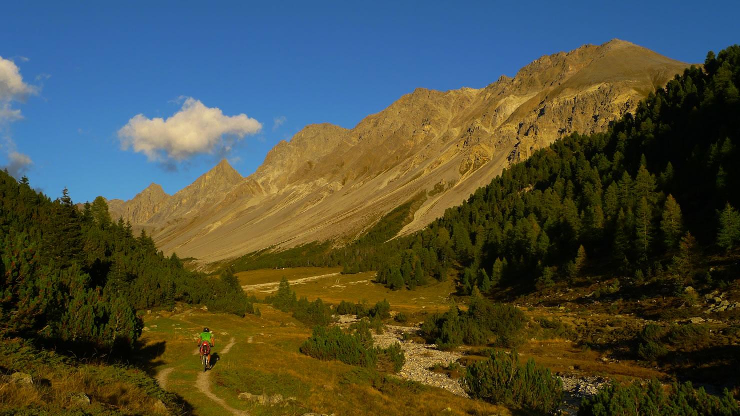
The downhill to Chants is again mostly easy and very beautifull. The little village has no electricity, so you can’t get any icecream in the restaurant. Only some cakes – if you arrive early enough.
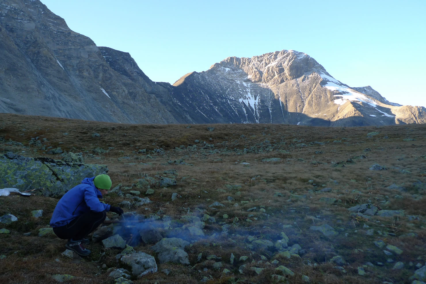
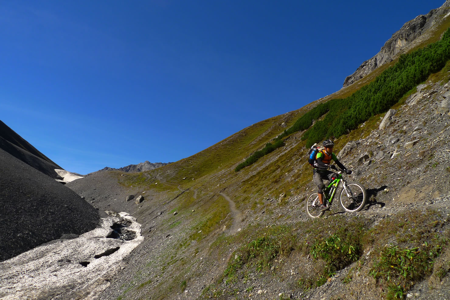
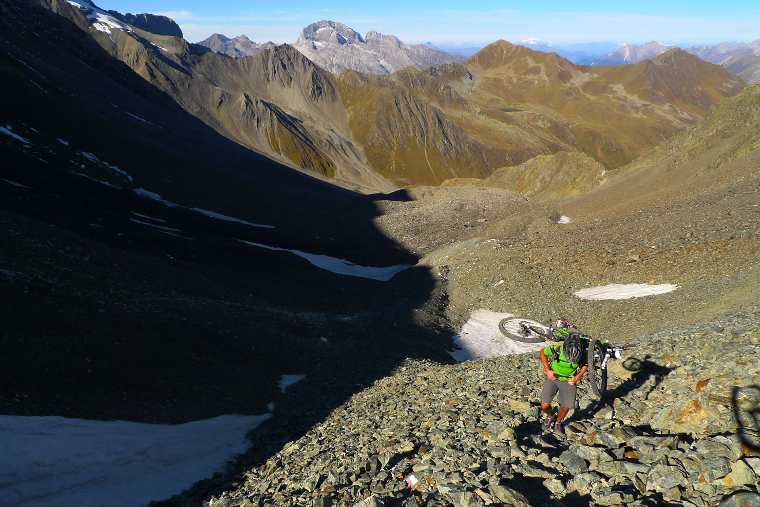
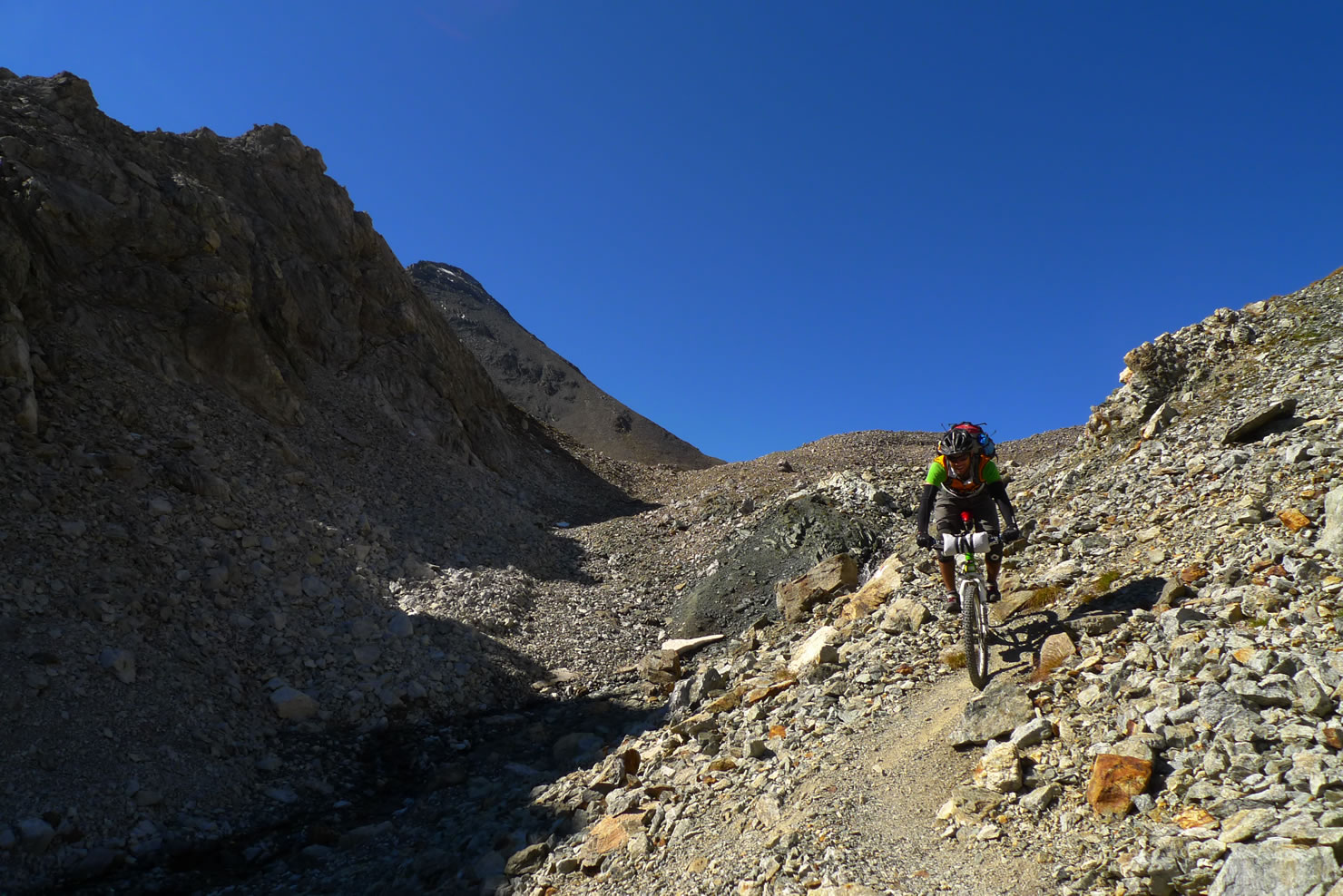
The next uphill brings us to Val Plazbì. Unfortunately the road ends at 2069m. That means that you’ll have to hike 800m uphill. So it’s good to finde a place to bivouack somewhere inbetween. We found a good spot at about 2600m. After chasing of a dozen of capricorns we have had our peace.
The next day starts with a hike up to Fuorcla Pischa. Leaving our bikes there we went up to Piz Blaisun. With 3200m Piz Blaisun is one oft he highest mountains in Switzerland you can climb without technical gear.
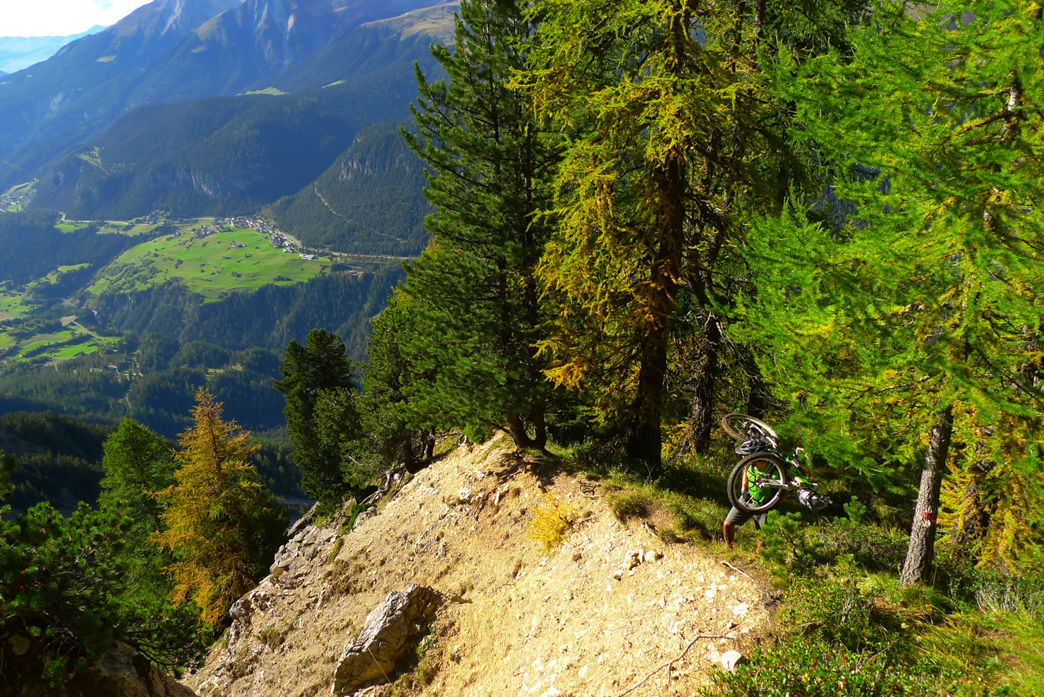
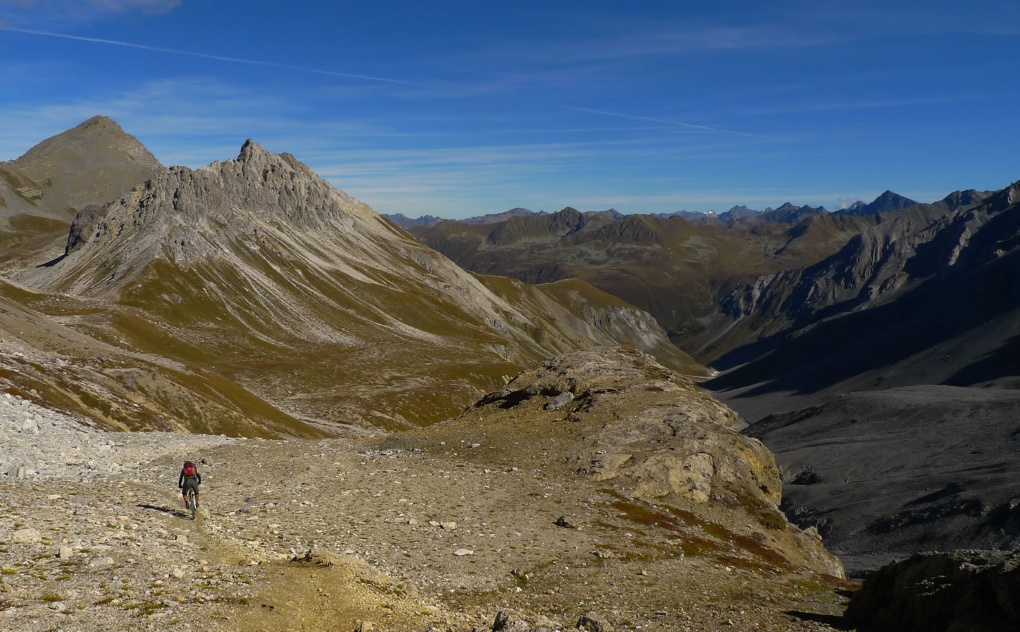
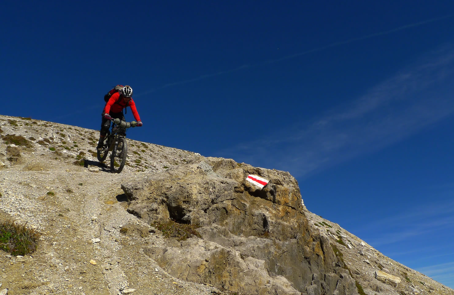
The downhill to Chamanna d’Es-Cha is quite difficult but very funny. If you want, there is a restaurant (again without icecream). The downhill to Zuoz is mostly easy but very funny.
After S-Chanf you turn left into the Val Susauna. A gravelroad brings you up to Alp Funtauna. Here starts the final ascent to Scalettapass. This is again an old mule track – rebuilt for touristic reasons. So if you have the legs, you can ride it up.
The downhill is fast, easy and funny. In Dürrboden there is a restaurant. And Davos isn’t far away anymore.


Terms of Use: As with each bikepacking route guide published on BIKEPACKING.com, should you choose to cycle this route, do so at your own risk. Prior to setting out check current local weather, conditions, and land/road closures. While riding, obey all public and private land use restrictions and rules, carry proper safety and navigational equipment, and of course, follow the #leavenotrace guidelines. The information found herein is simply a planning resource to be used as a point of inspiration in conjunction with your own due-diligence. In spite of the fact that this route, associated GPS track (GPX and maps), and all route guidelines were prepared under diligent research by the specified contributor and/or contributors, the accuracy of such and judgement of the author is not guaranteed. BIKEPACKING.com LLC, its partners, associates, and contributors are in no way liable for personal injury, damage to personal property, or any other such situation that might happen to individual riders cycling or following this route.
Please keep the conversation civil, constructive, and inclusive, or your comment will be removed.