


The Baldy Bruiser, Southern California.
Distance
146 Mi.
(235 KM)Days
4
% Unpaved
65%
% Singletrack
0%
% Rideable (time)
98%
Total Ascent
19,300'
(5,883 M)High Point
7,820'
(2,384 M)Difficulty (1-10)
7.5?
- 9Climbing Scale Very Strenuous132 FT/MI (25 M/KM)
- -Technical Difficulty
- -Physical Demand
- -Resupply & Logistics
Contributed By

Cass Gilbert
While Out Riding
Anyone who’s explored the Angeles National Forest – or ridden the LA Observer – knows Los Angeles’s secret… there’s a wealth of fantastic bikepackpacking potential within a stone’s lob of the city itself. For those prepared to head a little further afield, public transportation can easily shuttle riders to Bear Bear Lake, from where three or four days of wonderfully remote riding can guide you all the way back to the very heart of the metropolis, via the road less traveled.
In the interests of keeping this ride within the constraints of a long weekend outing, the route begins in Big Bear Lake, easily reached by train and a public bus shuttle. But if you have more time – a solid day, at least – then you can ride all the up into the mountains from lowland San Bernadino, on dirt roads.
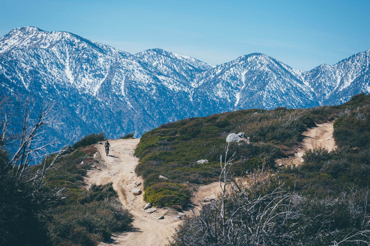
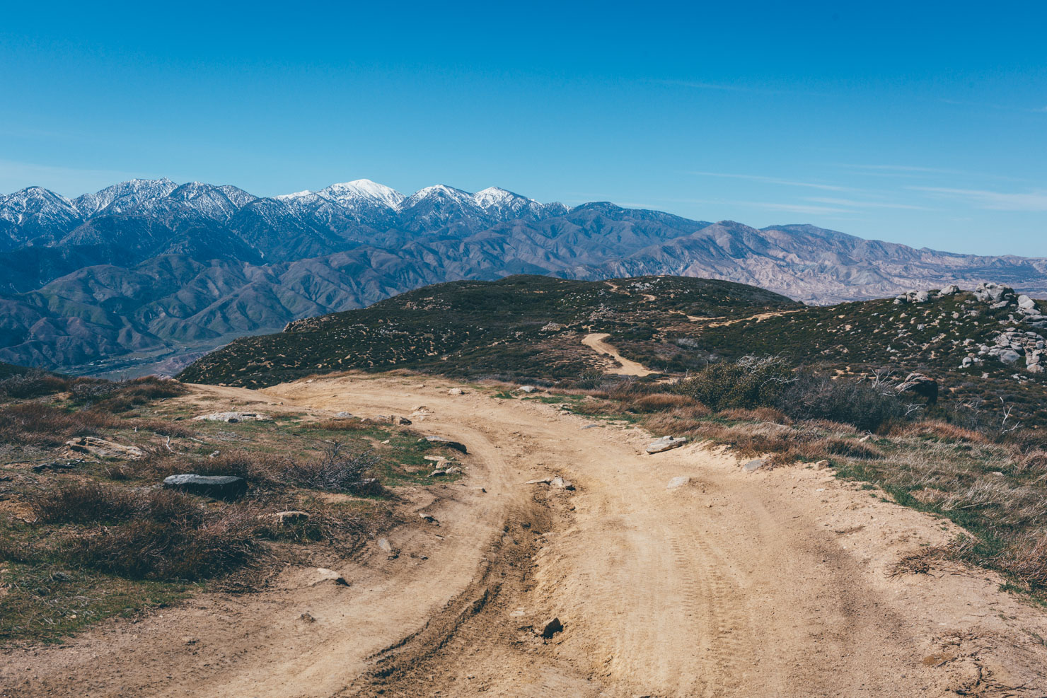
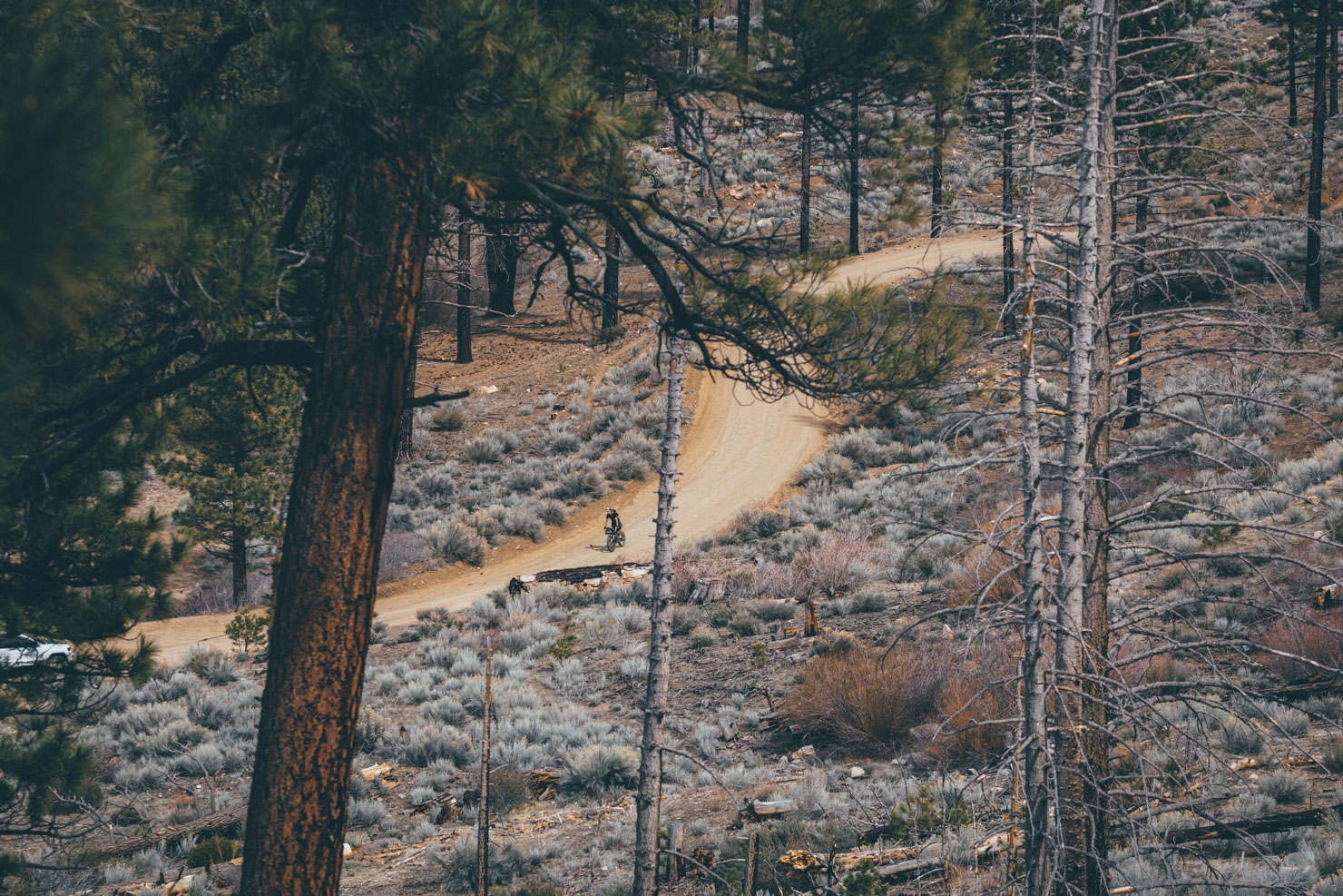
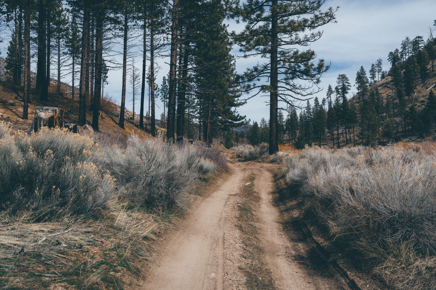
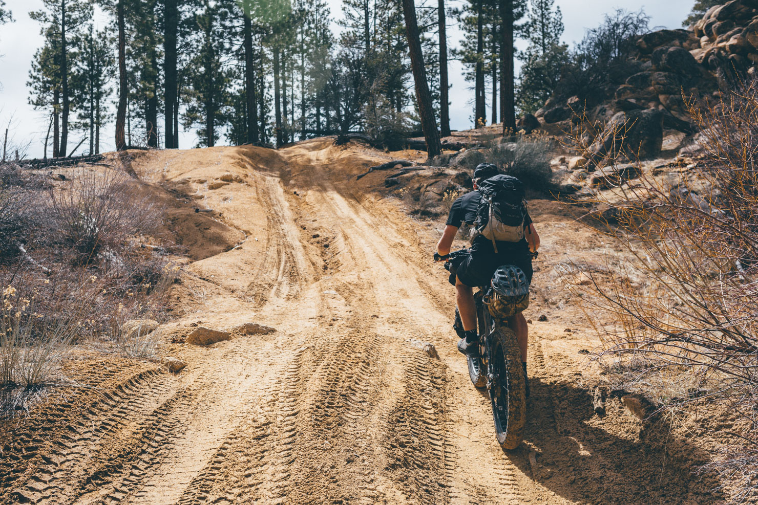
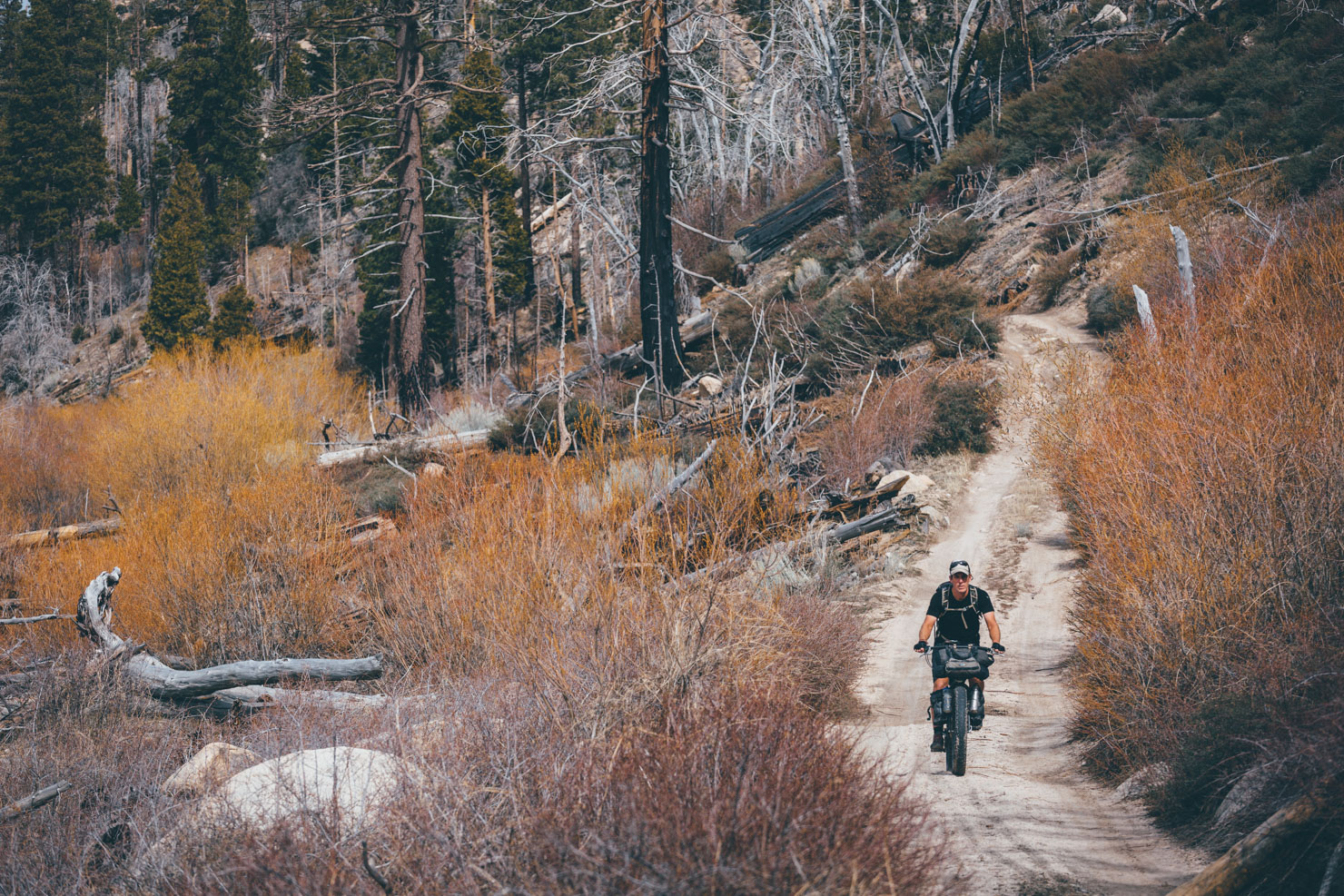
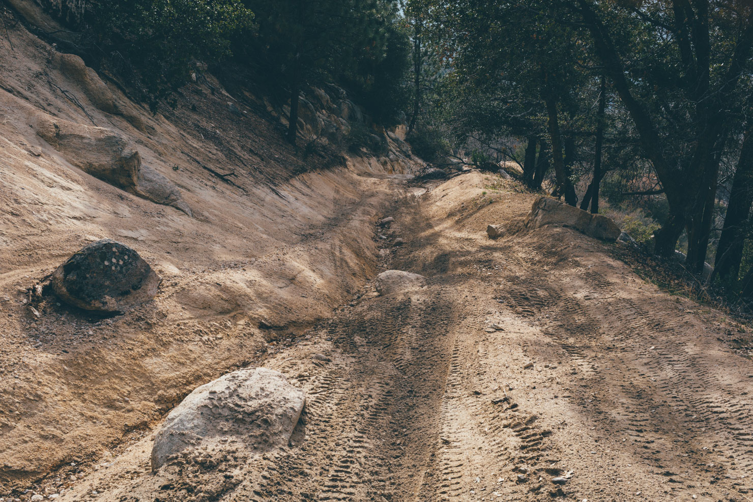
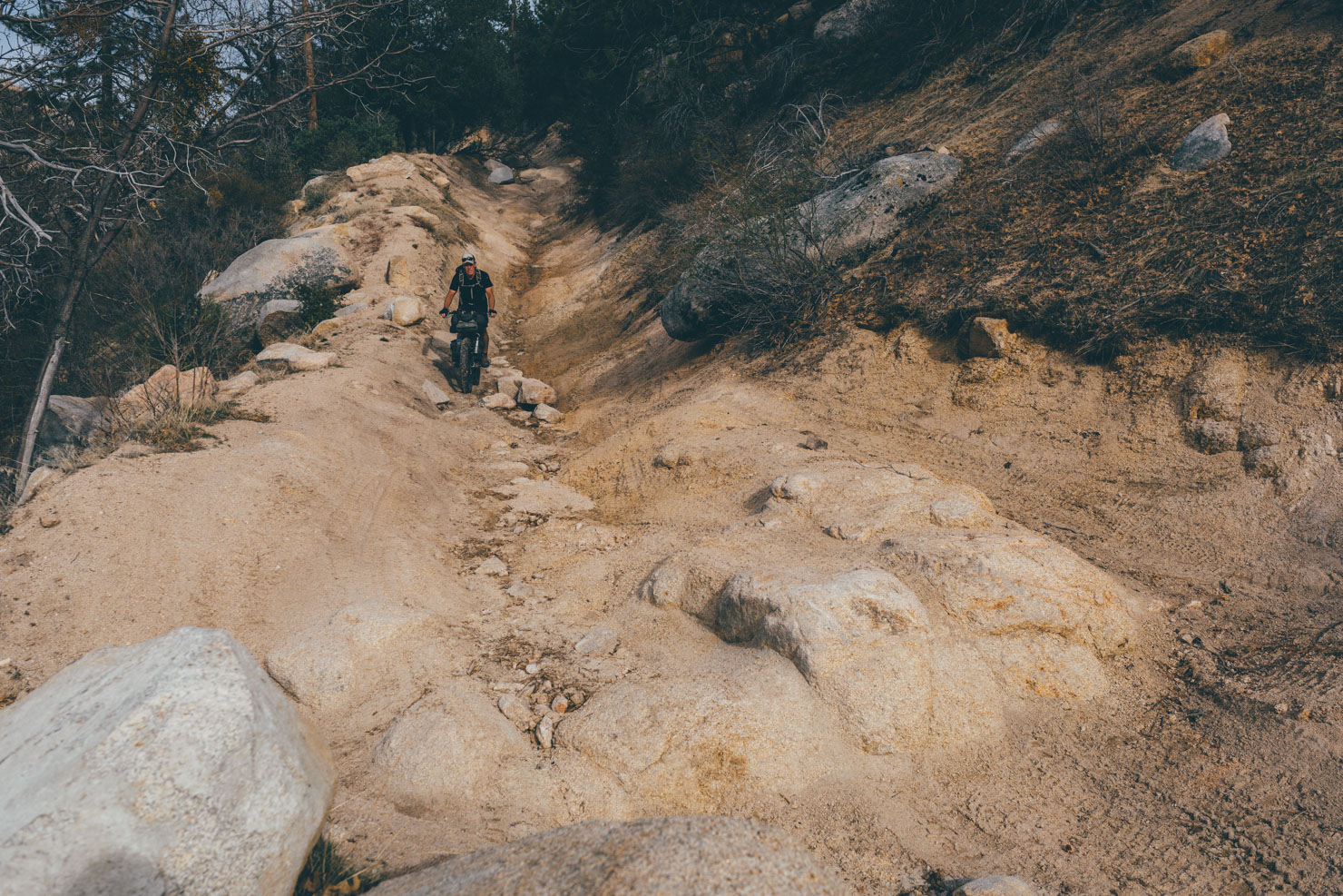
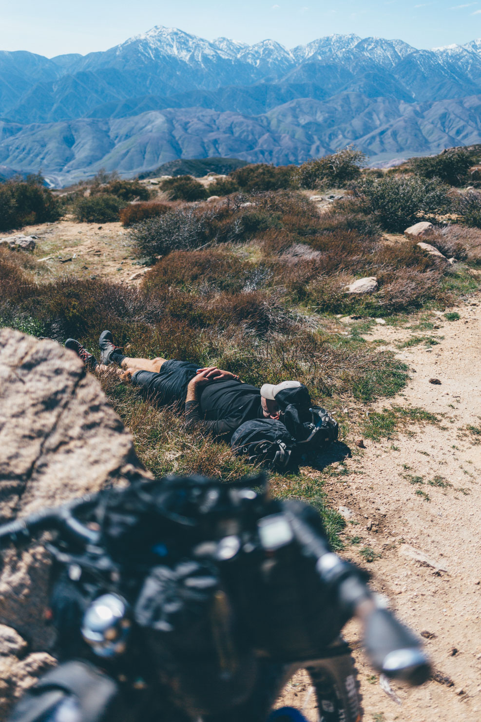
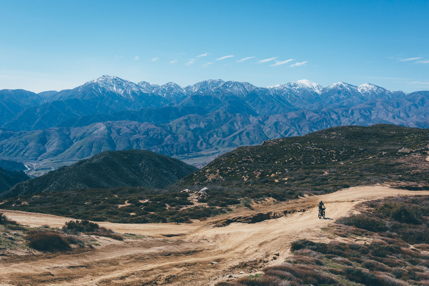
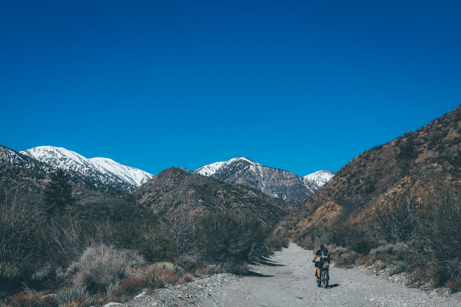
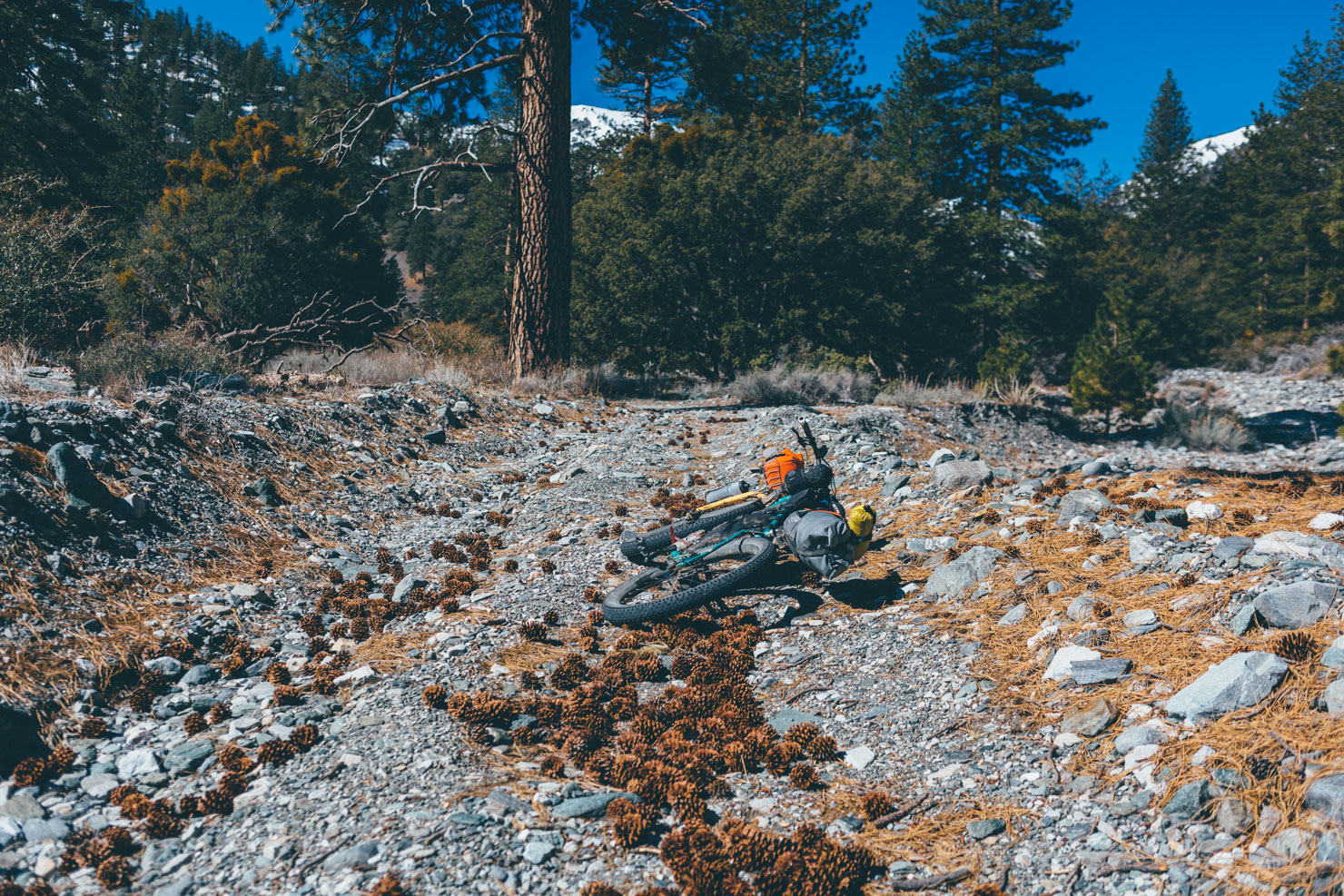
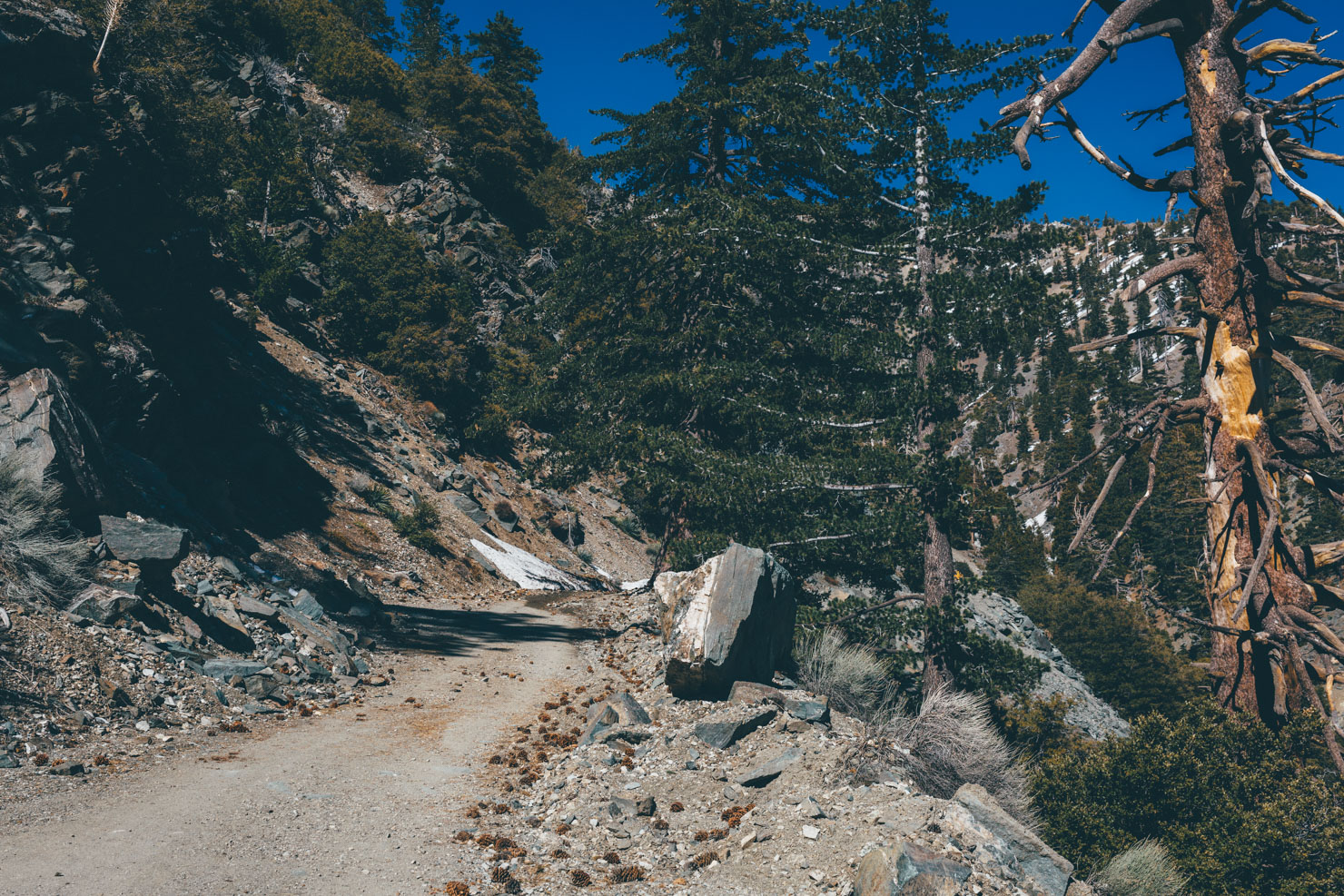
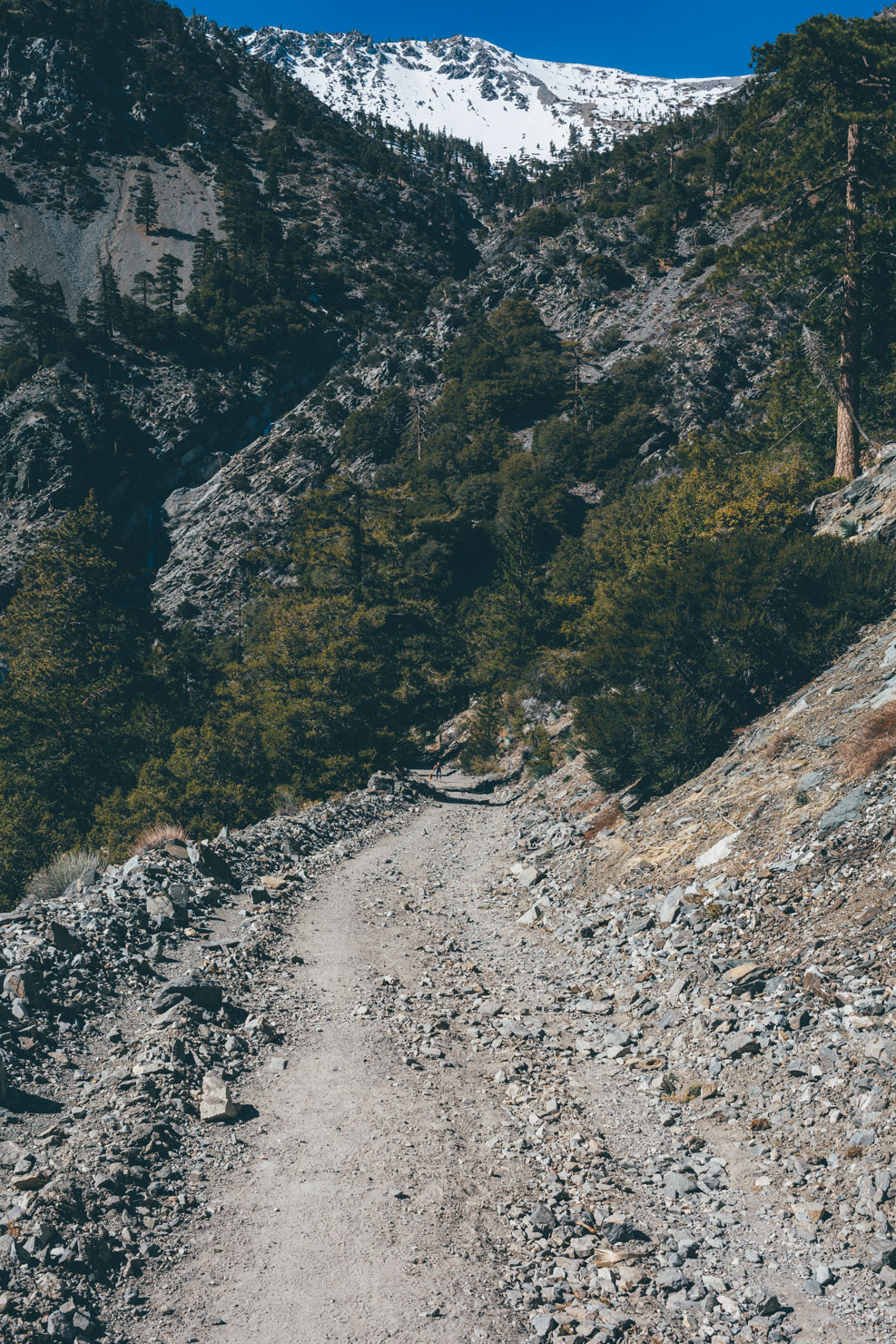
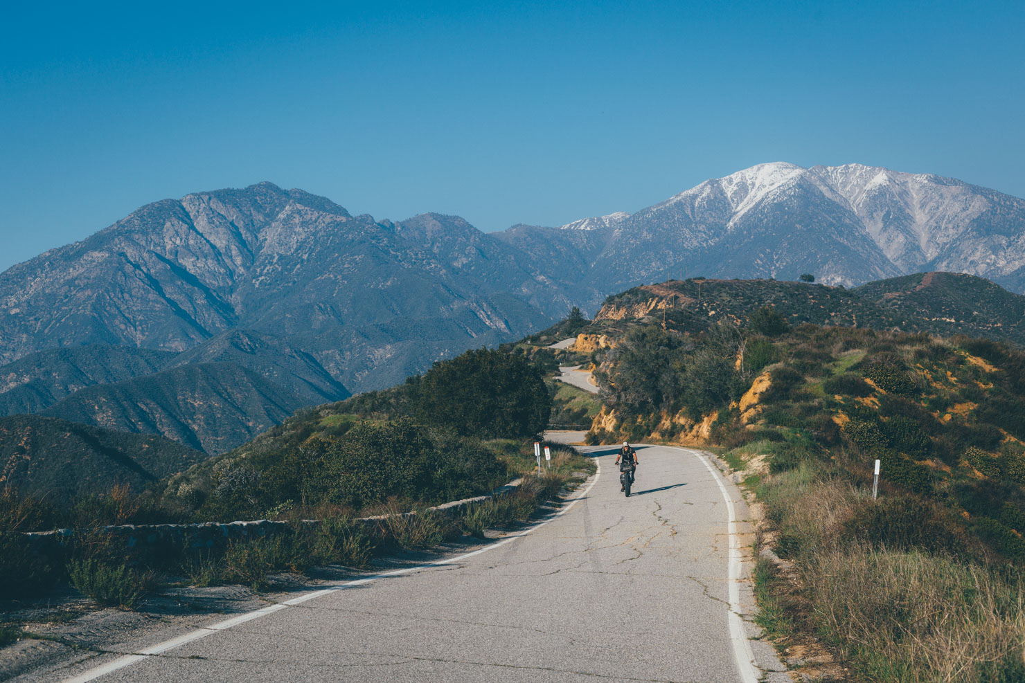
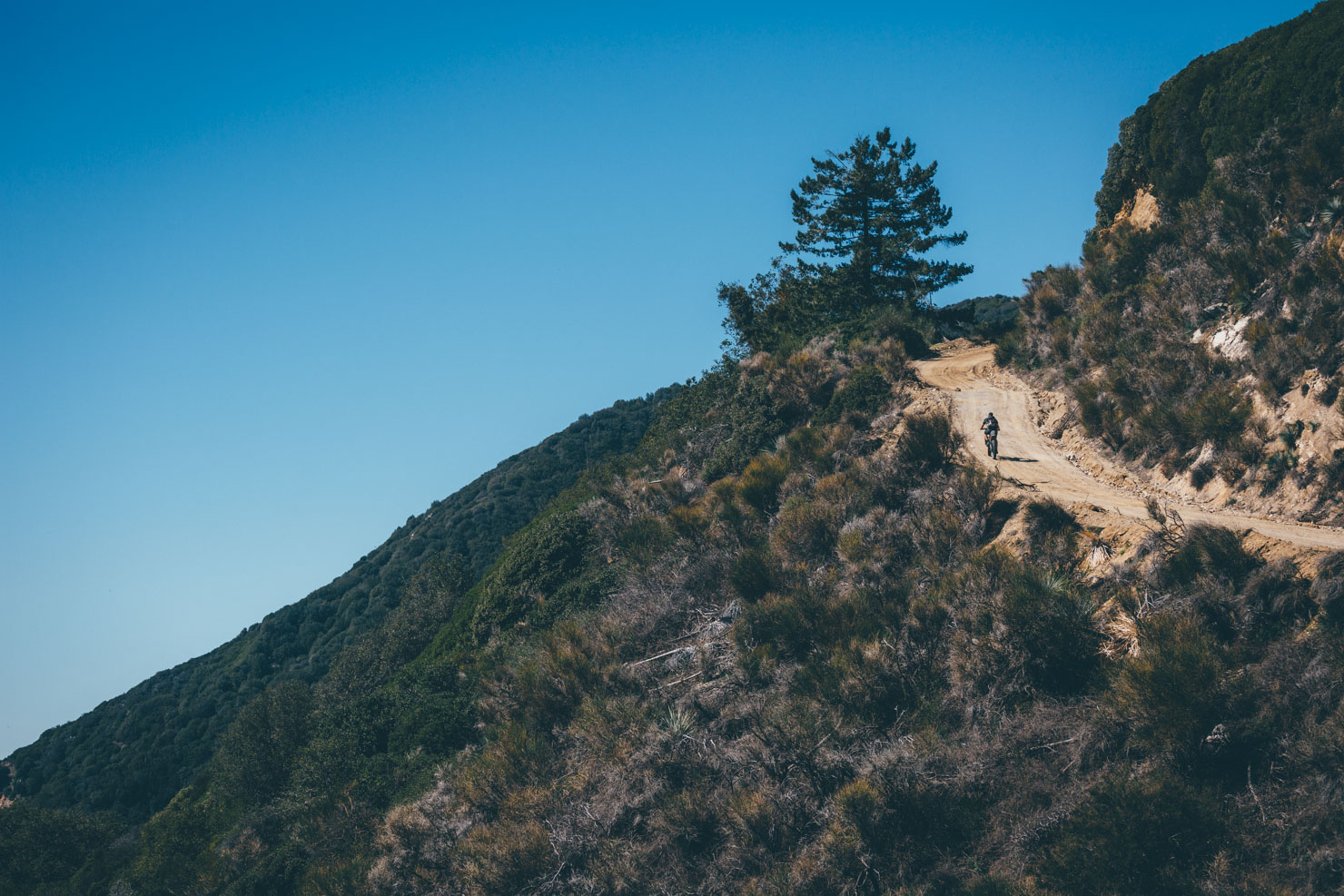
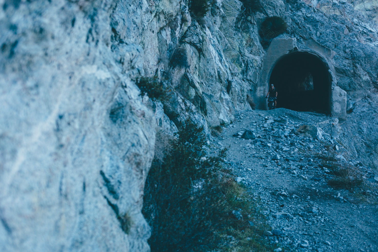
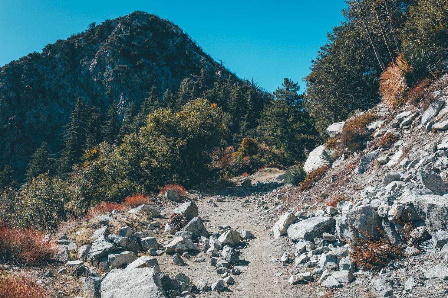
In terms of terrain, expect a bit of everything, including forest roads, sandy two-track, abandoned paved roads, ATV trails, and a few hike-a-bikes. And with over 19,000ft of elevation gain, be prepared for some serious climbing, some of which can be tortuously steep, a characteristic typical to the newly formed San Gabriels.
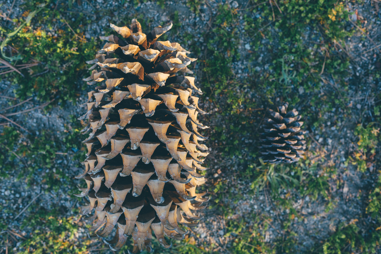
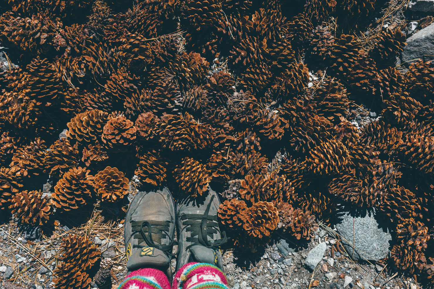
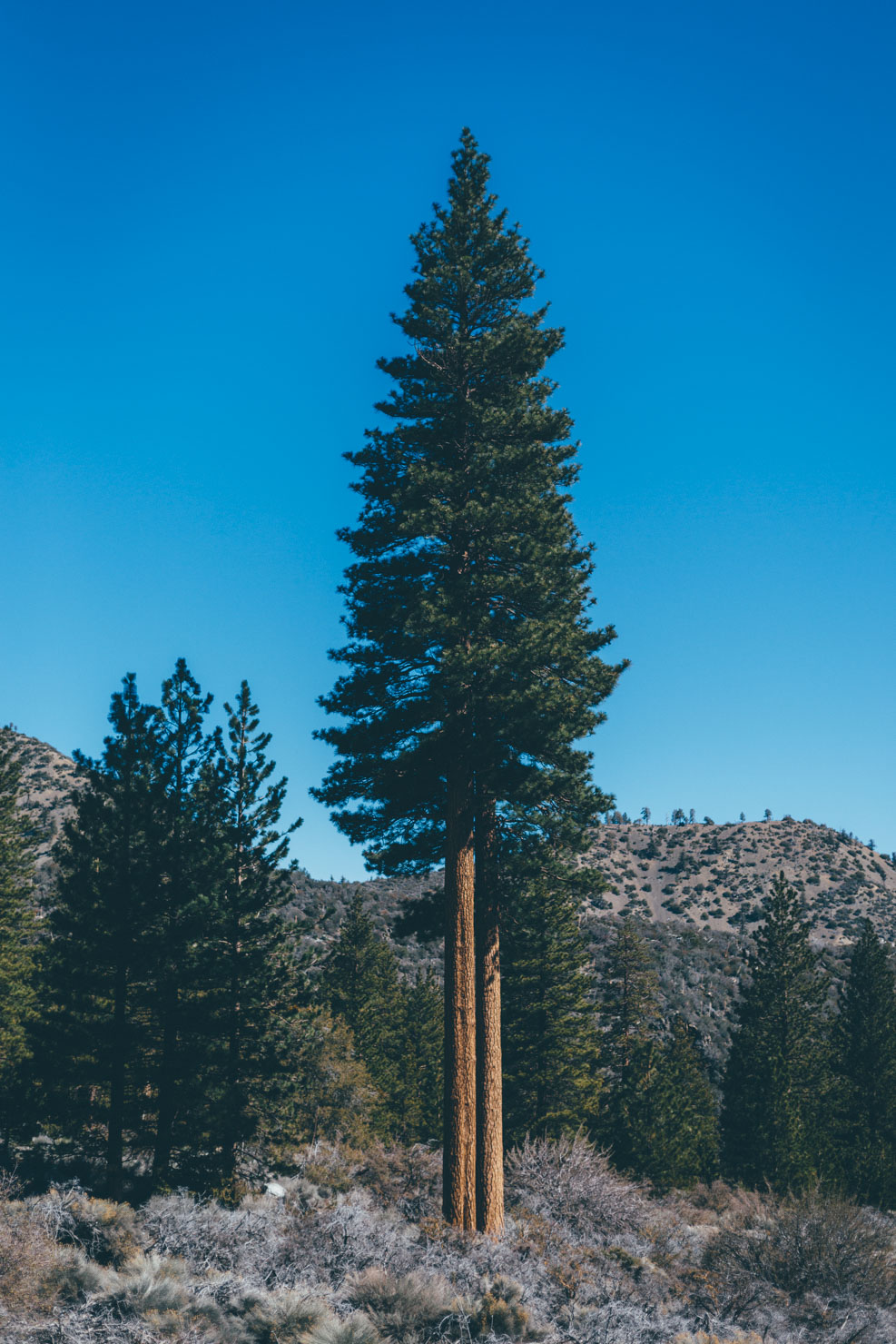
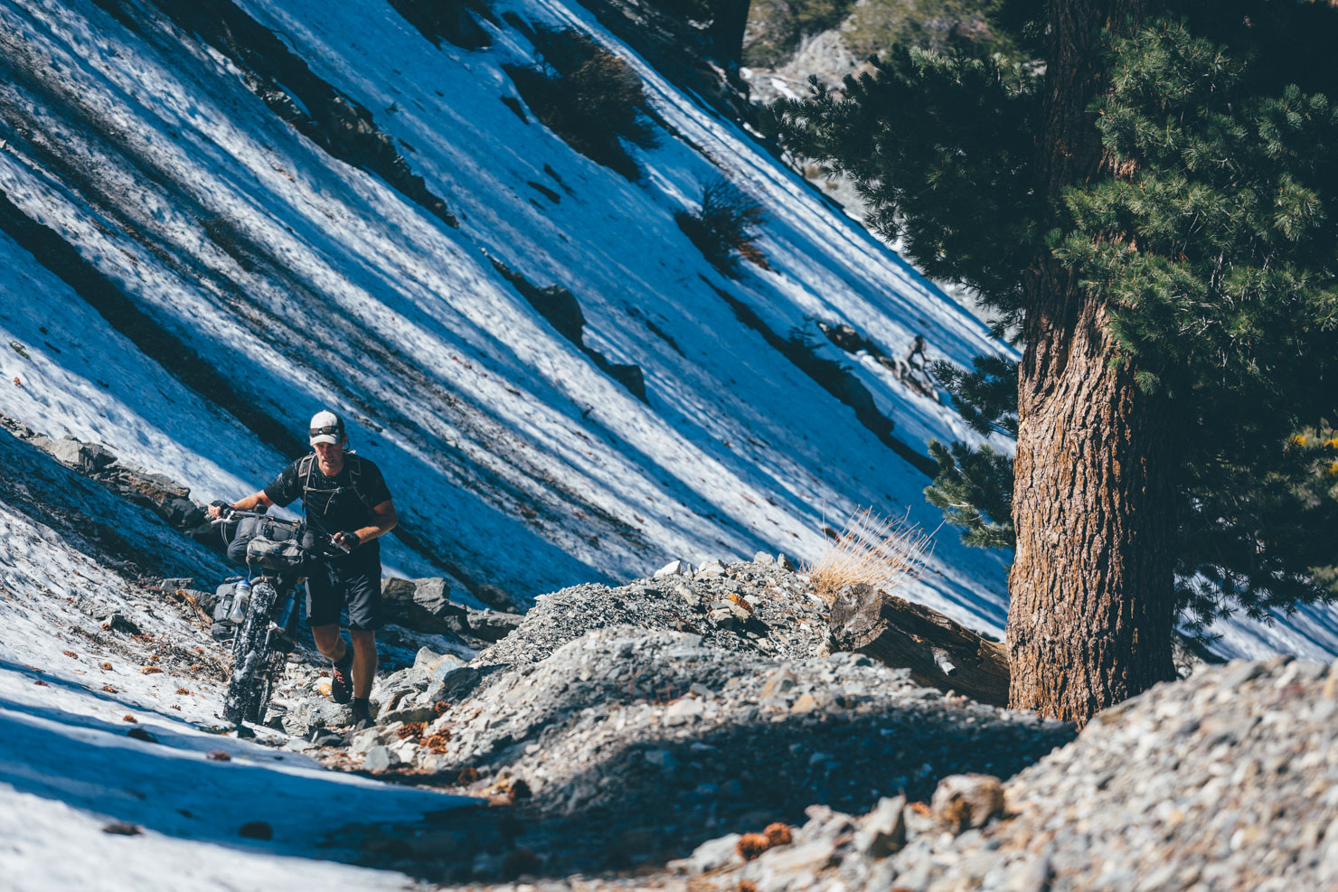
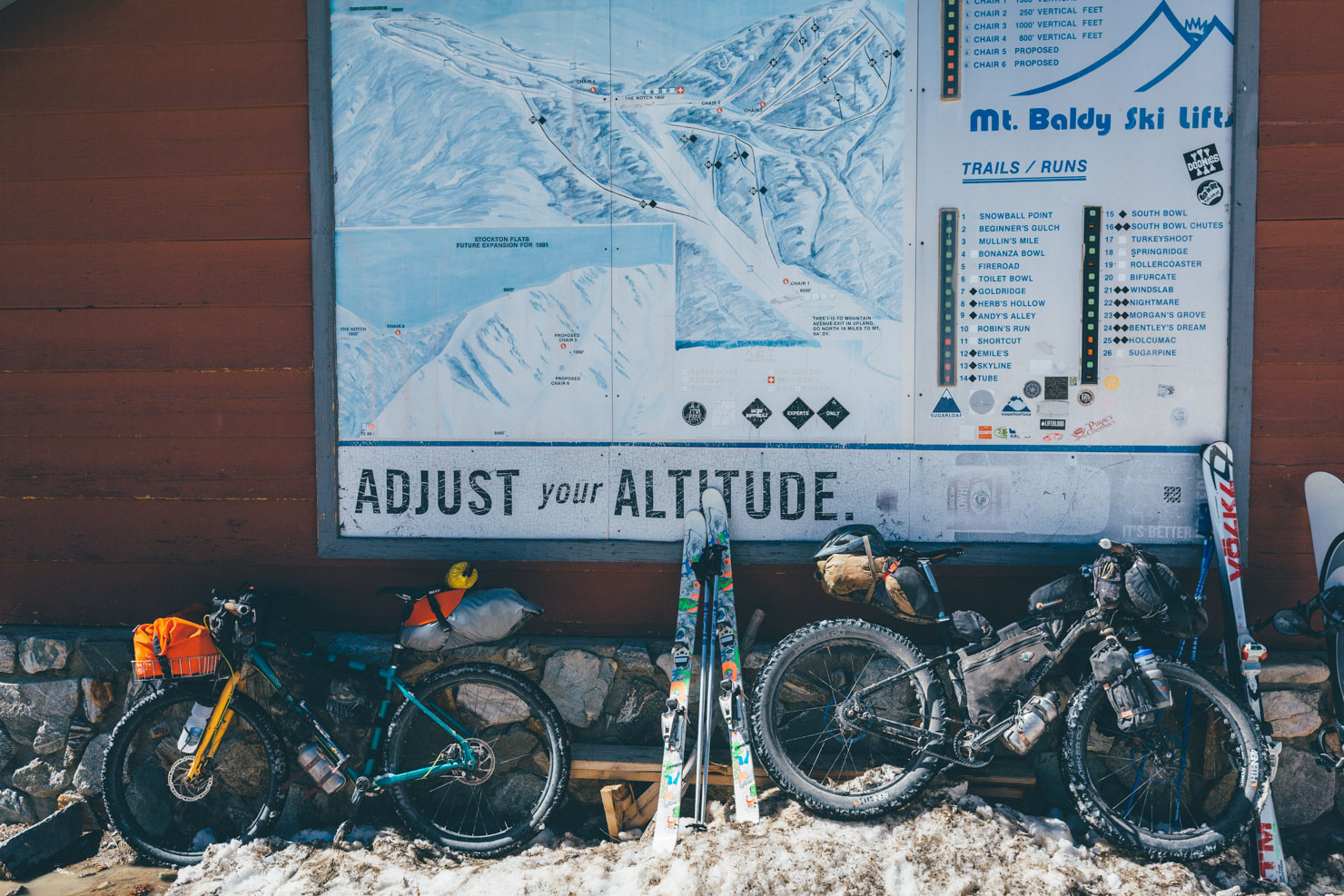
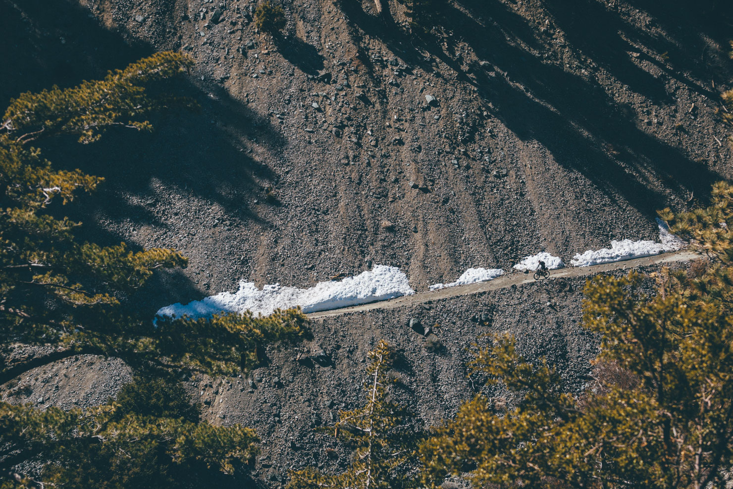
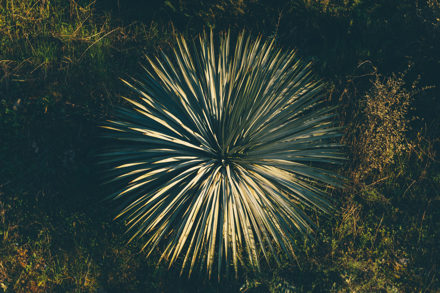
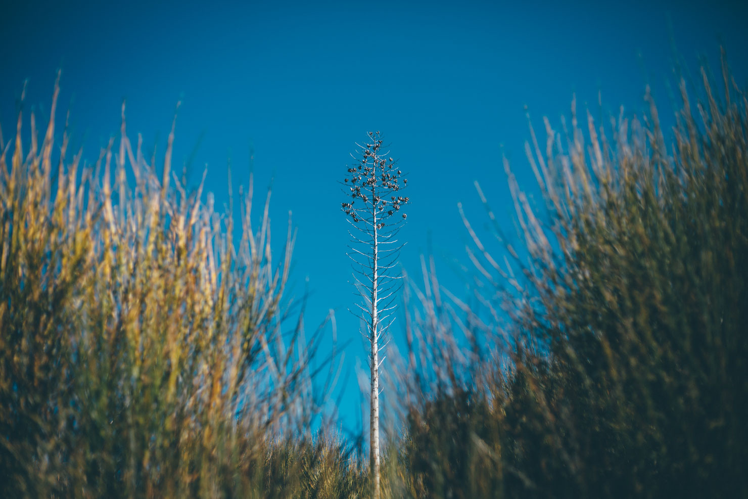
Splitting the Baldy Bruiser into two halves is the long climb up to Baldy Notch, which lies just beneath San Antonio Peak (aka Mount Baldy) at over 7000ft in elevation. In fact, the notch itself marks the edge of the Mount Baldy Ski Lifts, a small resort local to Los Angeles residents. It’s for this reason that you’ll need to consider the right weather window for this route – in the midst of winter, the slopes are covered in groomed snow. In fact, given the variety in elevation, there’s a remarkable range of flora throughout the route, from prickly desert yucca to lofty ponderas and colta pines – the latter noted for its remarkably large, coma-inducing cones.
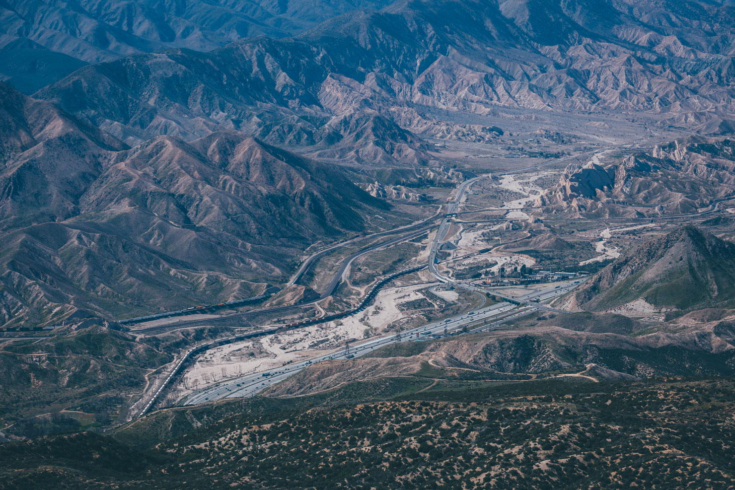
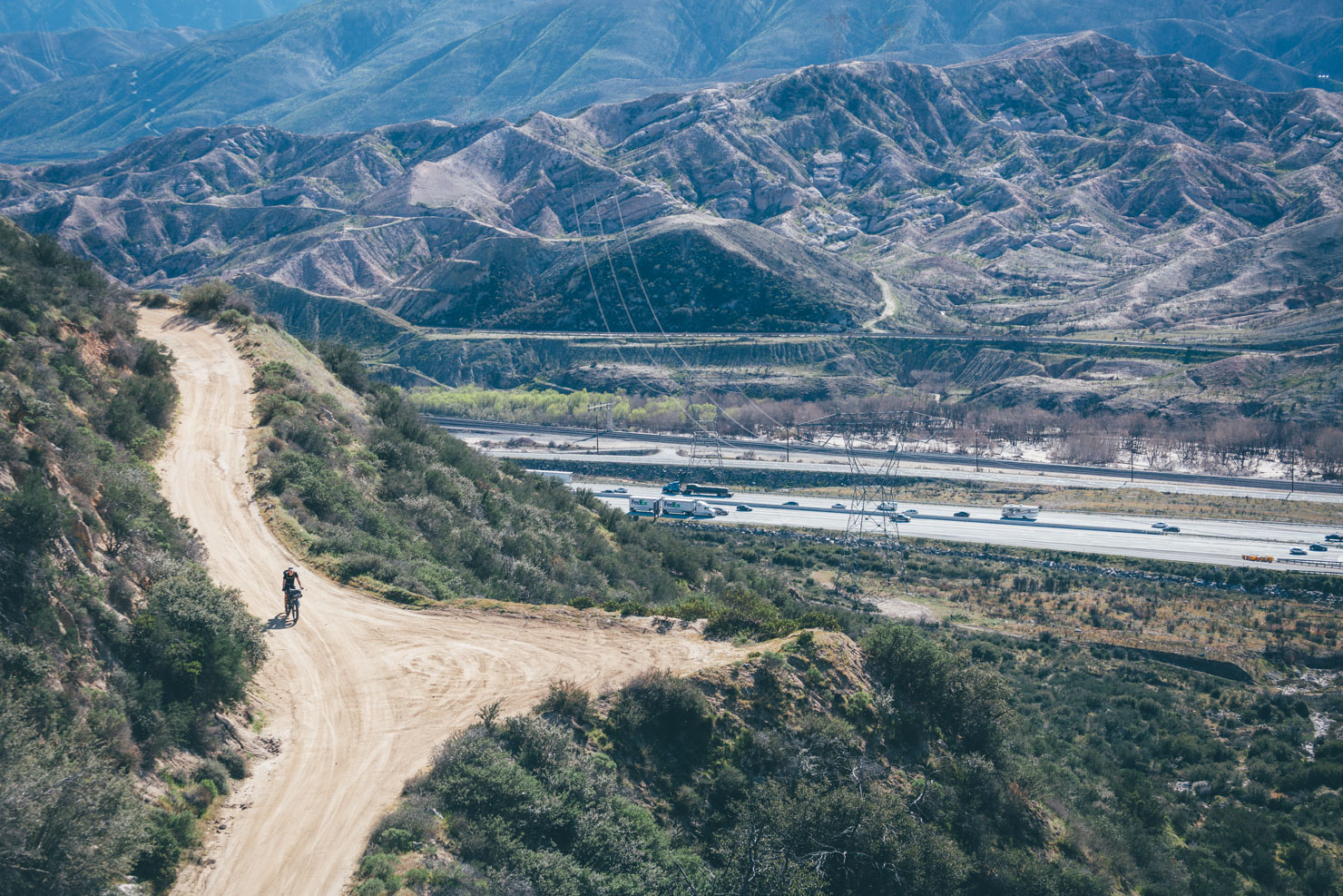
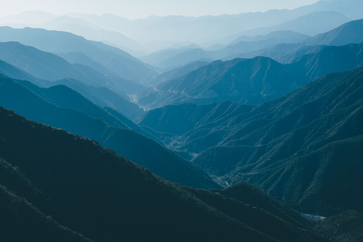
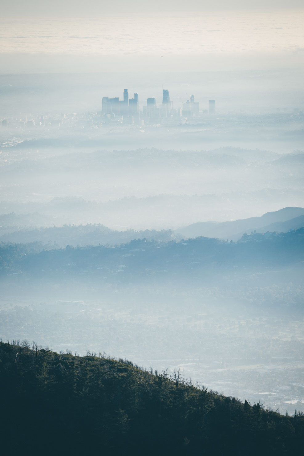
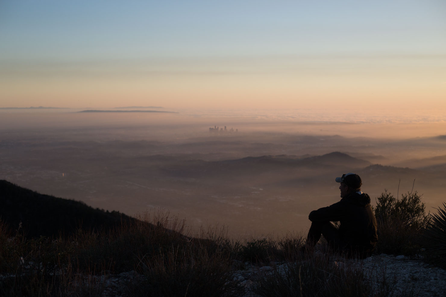
Also of interest is the remarkable dichotomy between nature and ‘civilisation’ in Southern California and how the two can rub up against each other. For instance, at Cajon, a wild and rutted dirt road is bisected by the concrete corridor of the interstate, a good reminder of the mechanised world we’re creating for ourselves. And later, hazy vistas out towards the metropolis of LA and its sprawling suburbs are evident from a quiet ridgeline thousands of feet above them.
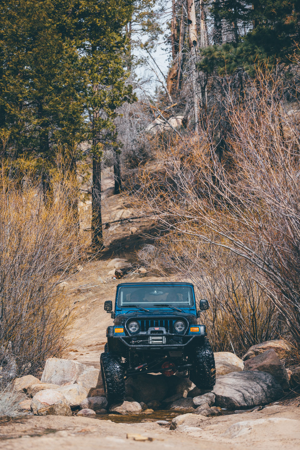
But if you’re worried about traffic, fear not. Apart from a possible resupply at Cajon, this route keeps to extremely quiet roads, frequented only by hikers, ATVs, and the hardiest of 4 wheelers, given the vagaries of its terrain. Even when it’s paved – as with Glendora Ridge Road – expect low traffic and some the most sublime, silhouetted hues of the San Gabriels imaginable.
Route Development
Beta testing for this route was carried out with Brian Mulder in early March after an especially wet winter, hence the snow on Baldy Notch. Thanks to Andy Holmes at the Penhale Bike Company for checking over the initial gpx file and offering suggestions. And thanks too Errin Vazquez and the Golden Saddle Cyclery for pointing us towards the fabled Recon-Redbox Truck Trail.
This route is intended to connect up with the SoCal Desert Ramble, effectively offering a dirt road, inland route from San Diego to Los Angeles via Joshua Tree and Big Bear. It can also be linked into the (via the LA Observer).
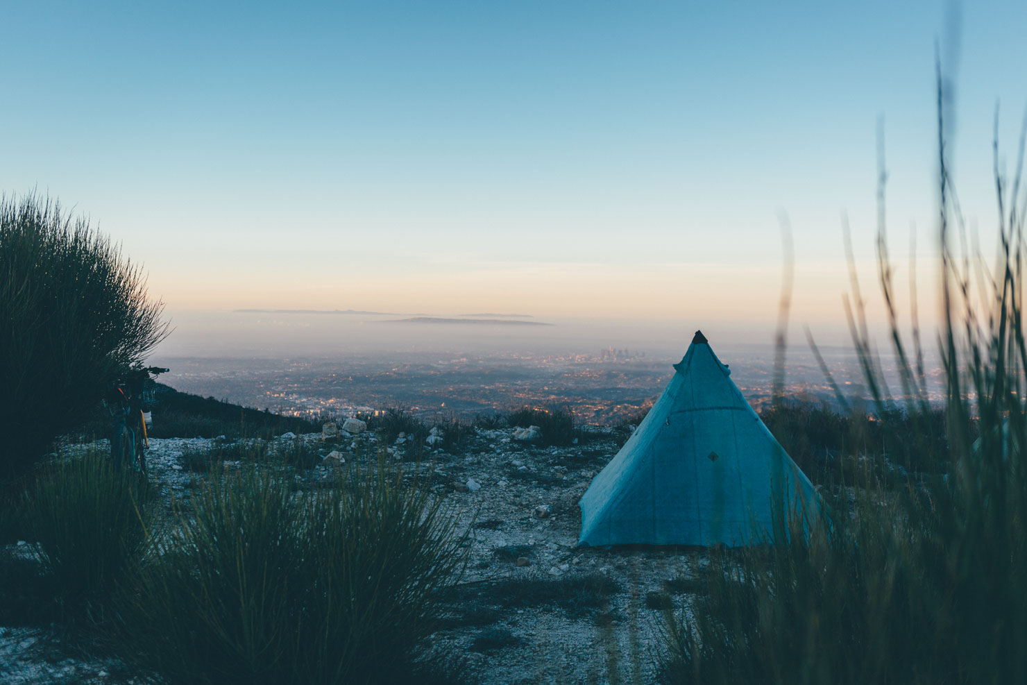
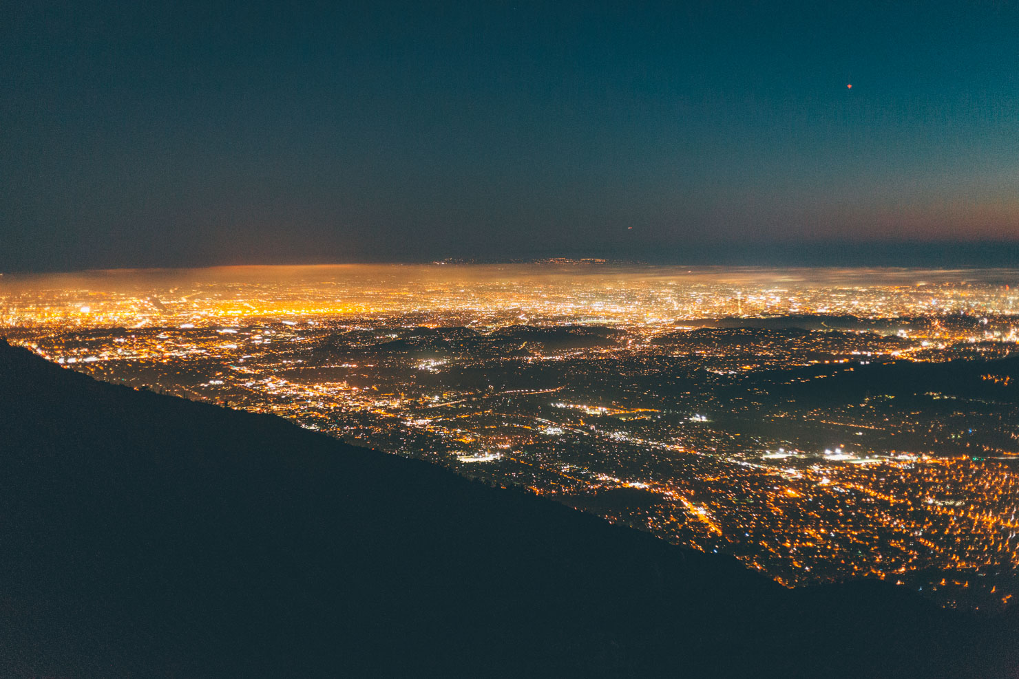
There’s simply no more memorable way to end a ride in the Angeles National Forest than by soaking up views of the city itself. As sunset softens to nightfall, gazing down upon LA’s sea of shimmering lights is an undeniably hypnotising experience, as is listening to the soundtrack of its urban breath. The steep, whirligig descent down Mount Lowe Railway Trail is another regional highlight – don’t forget to stop at the various markers along the way to help gain a deeper appreciation of its fascinating history. You can find more details on this spectacular road in our LA Observer route guide, which the Baldy Bruiser overlaps for the last few miles.
Difficulty
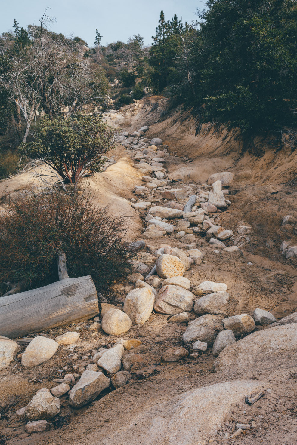
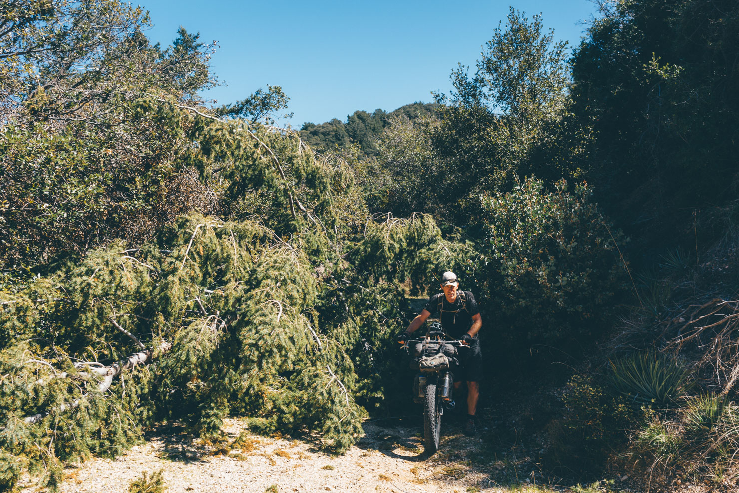
We’ve awarded this route a 7.5, due primarily to the amount of climbing it compacts into its relatively short distance, as well as the severity of its grades. It can be ridden in 4 days fairly comfortably (we rode it in 3 full days and two short days, see Trail Notes below). If you compress it down to 3 days, it averages out at over 6,000ft a day, so be prepared! Much of the ride is on dirt roads of various quality. For the most part, they’re in good shape, but expect water snakes, sandy sections, babyhead rocks, and steep inclines, which may require pushing and shoving, depending on your bike. Parts of the route are in various states of disrepair, so will likely require manhandling your bike over deadfall and even landslides, as well as a few short hike-a-bikes (see images for examples).


Submit Route Alert
As the leading creator and publisher of bikepacking routes, BIKEPACKING.com endeavors to maintain, improve, and advocate for our growing network of bikepacking routes all over the world. As such, our editorial team, route creators, and Route Stewards serve as mediators for route improvements and opportunities for connectivity, conservation, and community growth around these routes. To facilitate these efforts, we rely on our Bikepacking Collective and the greater bikepacking community to call attention to critical issues and opportunities that are discovered while riding these routes. If you have a vital issue or opportunity regarding this route that pertains to one of the subjects below, please let us know:
Highlights
Must Know
Camping
Food/H2O
Trail Notes
- Incredible views of the San Gabriel Mountains from Cleghorn Fire Road.
- Hurdling Baldy Notch, with its expansive desert vistas to either side.
- Wild and abandoned two-track… that’s so close, yet so far from the hubub of LA life.
- Excellent public transportation – leave your vehicle at home!
- Rounding up the ride with a fabulous sunset over the city; one of the most unique and memorable vistas you’ve likely experienced.
- This route crosses Mount Baldy ski station so you’ll need to consider when best to ride it, depending on the winter. Early spring could involve hike-a-biking across lingering snow on either side of Baldy Notch. Summer will be too hot. Fall/early winter is likely to be your best window.
- Travel logistics: there is a frequent and bike-friendly Metrolink service from Union Station to San Bernadino. From there, take the Mountain Transit bus to Big Bear Lake ($10, takes two bikes, plus tires need to be deflated a little, bring extra straps too).
- Want to extend the route? Either ride up to Big Bear on forest roads from San Bernadino, or extend the loop around Big Bear Lake by riding around north or south side of Baldwin Lake, all the way to where the 18 meets Holcomb Valley Road. Connect with Holcomb Creek Road, heading all the way through until it joins up with the route.
- Have extra time in Big Bear Lake? There’s a tonne of great trails in the area – ask at the Big Bear Hostel or pick up a map at Bear Valley Bikes.
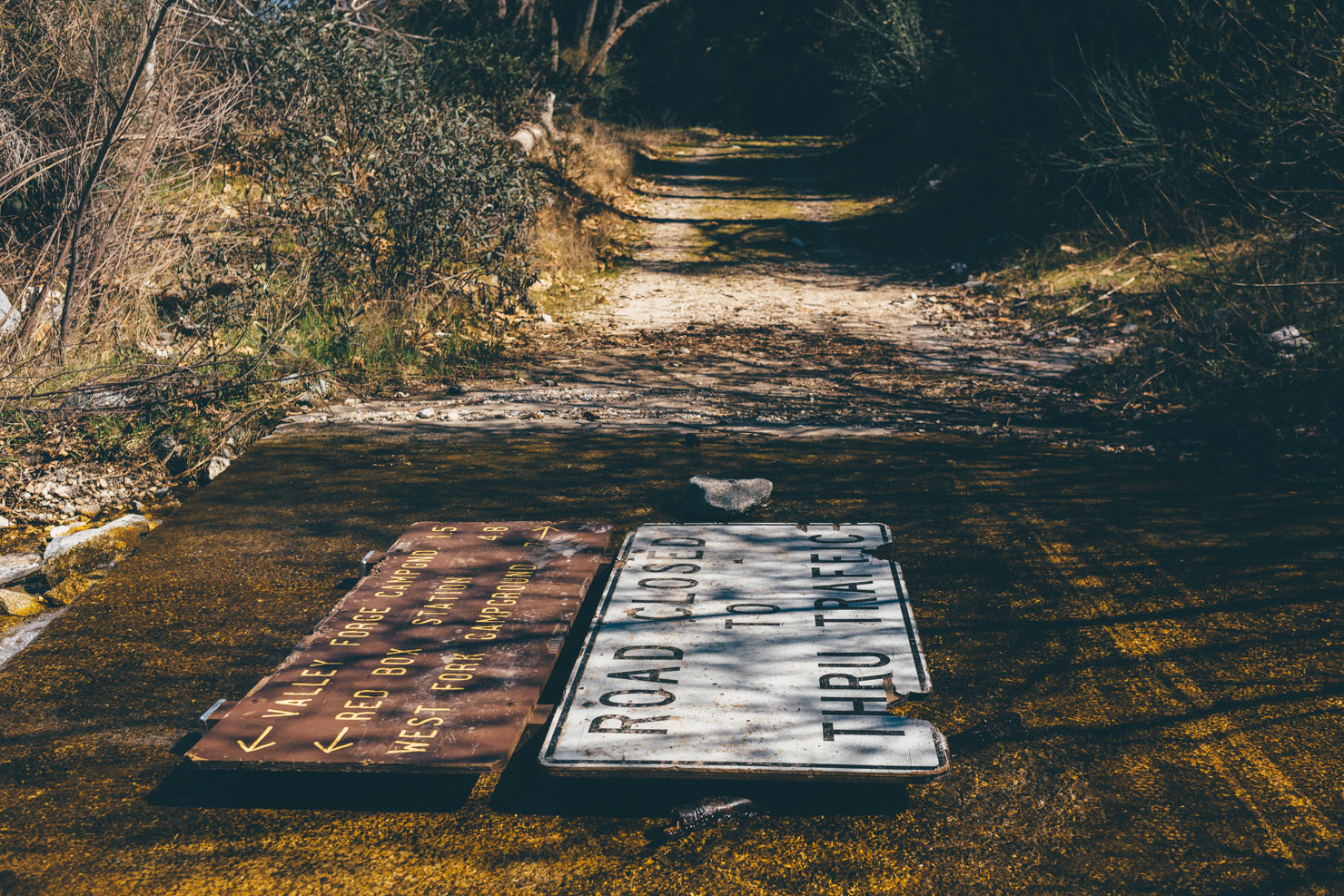
- At the time of riding, there were two small sections that are closed (see map) due to recent fires. These are slated to be reopened by September 2017.
- Best bike: Due to the variety of terrain – including rock and sand – a 2.3in+ tyre is recommended for this ride, as well as low gearing for the steep pitches.
- The Rincon Truck Trail is abandoned and overgrown in places… expect to push, drag and manhandle your bike across deadfall.
- Bear Valley Bikes is a fully stocked, year round shop, with plenty of local singletrack knowledge.
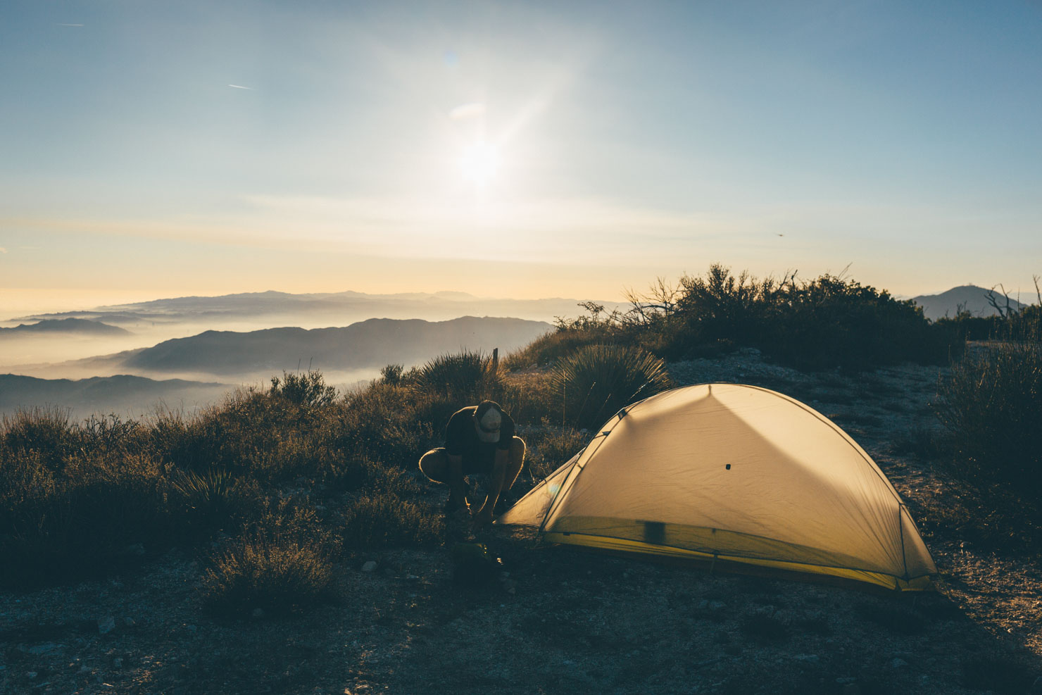
- The route cuts across swathes of National Forest, so camping is never an issue.
- For affordable lodging in Big Bear Lake, the Big Bear Lake Hostel is highly recommended; very friendly, clean, large kitchen, and comfortable dorms/rooms.
- Seasonal water is available from streams during the spring – see Trail Notes for the ones we noted.
- Outside of this, water is available from restaurants/businesses/ranger stations marked on the map.
- In Big Bear Lake, check out Tea and Coffee café, Teddy Bear Café (good for breakfast) and the Big Bear Coffee Roasting Company.
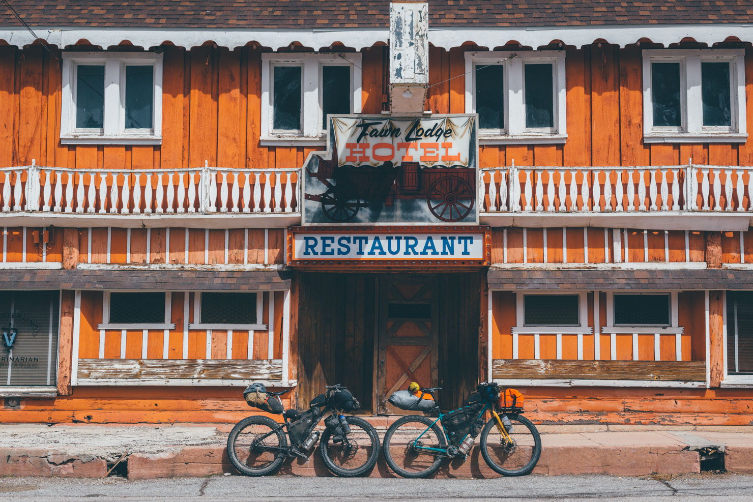
- Resupply in Blue Jay rather than Lake Arrowhead; Santiago’s is an excellent taqueria and there’s a coffee shop and grocery store.
- Don’t expect more than gas station fare and fast food at Cajon – where the route cross I15.
Here’s how we broke up the route, ridden in early March 2017.
Day 1 – Big Bear Lake to Camping beyond Blue Jay (lunchtime start)
– Seasonal water along route
– Full Services at Lake Arrowhead/Blue Jay
– Santiago’s Tacos in Blue Jay serves great Mexican
– From Santiago’s it’s a short ride into the State forest where we camped.
– No water until Forest Service station at Silverwood Lake, so stock up before leaving town
Day 2 – NF Campsite to Lytle Creek Campground
– Cleghorn Pass is a great lunch spot.
– Water and limited (gas station food) where route crosses I-15 at Cajon Junction. The track to get here is a bit squirrely, partly due to works on the road. You’ll pass the junction momentarily until you see a highway access road just past the bridge, over the second set of railroad tracks. From here you need to backtrack about a mile to the gas stations at the junction, as on the gpx track.
– No water from Cajon until Lytle Creek.
– Camped at Lytle Creek campground. Water and restrooms. There is a Fire Station near campsite with water too. Otherwise, the stream may be flowing.
Day 3 – Lytle Creek to riverside camping past Camp Williams
– Seasonal water along small stream as pavement turns to dirt past firing range.
– Seasonal water along climb up to Mount Baldy.
– Restaurant and water at Mount Baldy ski area.
– Water in Mount Baldy but not much in the way of resupply.
– Cooked food available at Buckhorn Pub.
– Camped just past Camp Williams alongside the river. We probably should have pushed on to a spot just on the other side of the reservoir, at the intersection of highway 39. Store in Camp Williams is only open limited hours so not reliable re-supply point.
Day 4 – Campsite to Mount Lowe Railway Campsite.
– Water at Day Use Parking lot, before Fire Station on highway 39. Look for tap on the first building you come to by the entry gates.
– Seasonal water along route to Red Box. Check at Fire Station before beginning climb. There was a good stream at a campsite before the final climb up to Red Box, but double check that it’s flowing.
– Water at Red Box, but double check that as well.
– Hot day of climbing
– Fantastic campsite a few miles down from the highpoint along the old Lowe Mountain Railway on a sharp turn. Just off the turn is a water tank and a large flat area with incredible views out over LA.
Day 5 – Mount Lowe Railway Campsite to Pasadena (quick descent).
– Easy drop into LA proper and back to ‘civilization’. Kaldi Café is a good place in Pasadena to kill a few hours if you’re taking an afternoon train, located immediately adjacent to the South Pasadena Public Library.


Terms of Use: As with each bikepacking route guide published on BIKEPACKING.com, should you choose to cycle this route, do so at your own risk. Prior to setting out check current local weather, conditions, and land/road closures. While riding, obey all public and private land use restrictions and rules, carry proper safety and navigational equipment, and of course, follow the #leavenotrace guidelines. The information found herein is simply a planning resource to be used as a point of inspiration in conjunction with your own due-diligence. In spite of the fact that this route, associated GPS track (GPX and maps), and all route guidelines were prepared under diligent research by the specified contributor and/or contributors, the accuracy of such and judgement of the author is not guaranteed. BIKEPACKING.com LLC, its partners, associates, and contributors are in no way liable for personal injury, damage to personal property, or any other such situation that might happen to individual riders cycling or following this route.
Please keep the conversation civil, constructive, and inclusive, or your comment will be removed.