


Alabama Skyway
Distance
123 Mi.
(198 KM)Days
2-3
% Unpaved
75%
% Singletrack
2%
% Rideable (time)
100%
Total Ascent
11,004'
(3,354 M)High Point
2,407'
(734 M)Difficulty (1-10)
4?
- 6Climbing Scale Moderate89 FT/MI (17 M/KM)
- -Technical Difficulty
- -Physical Demand
- -Resupply & Logistics
Contributed By
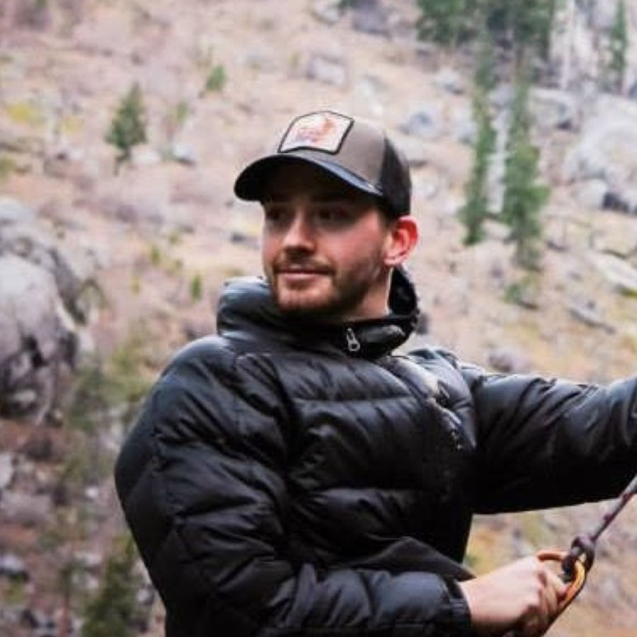
Colt Fetters
Averagely Stoked
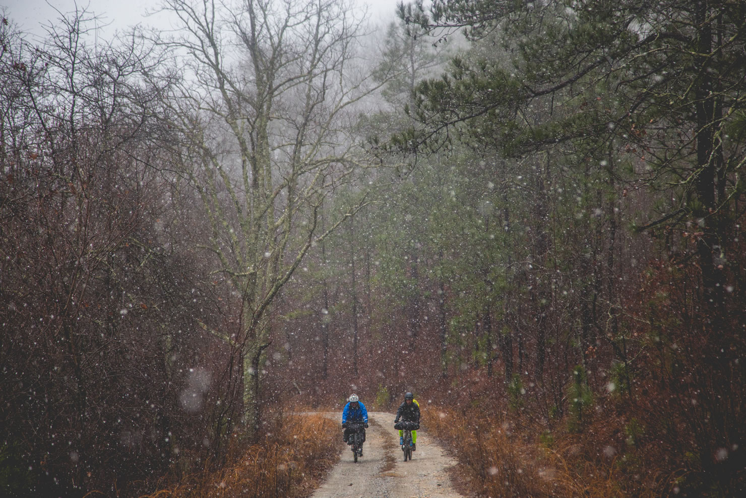
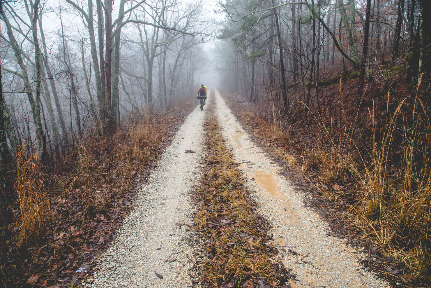
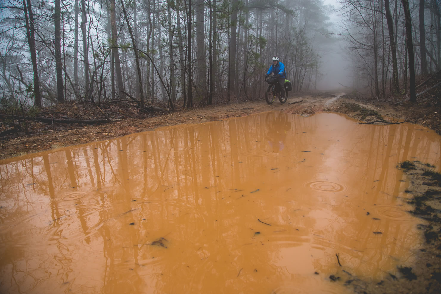
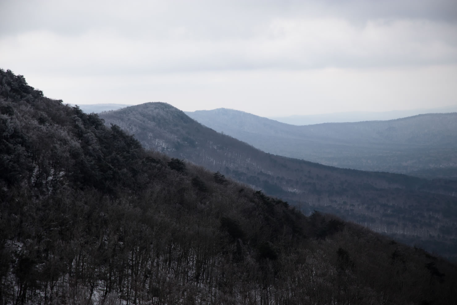
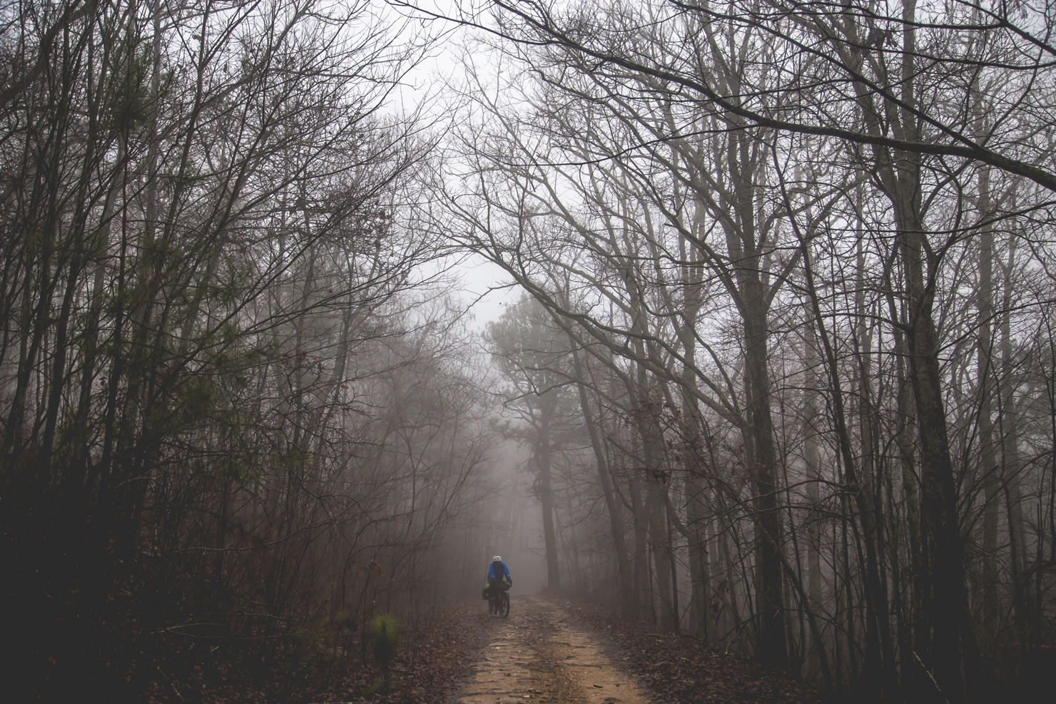
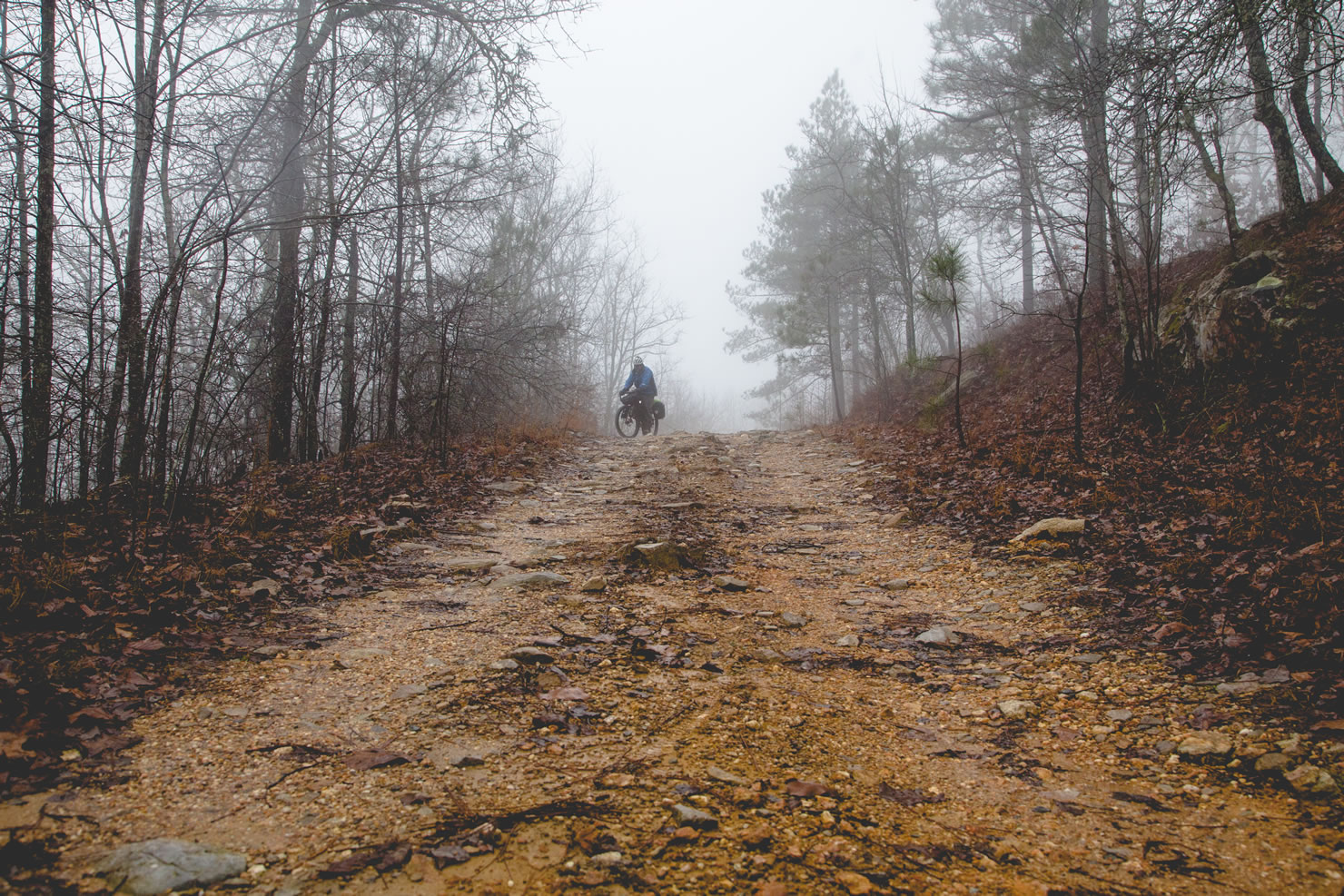
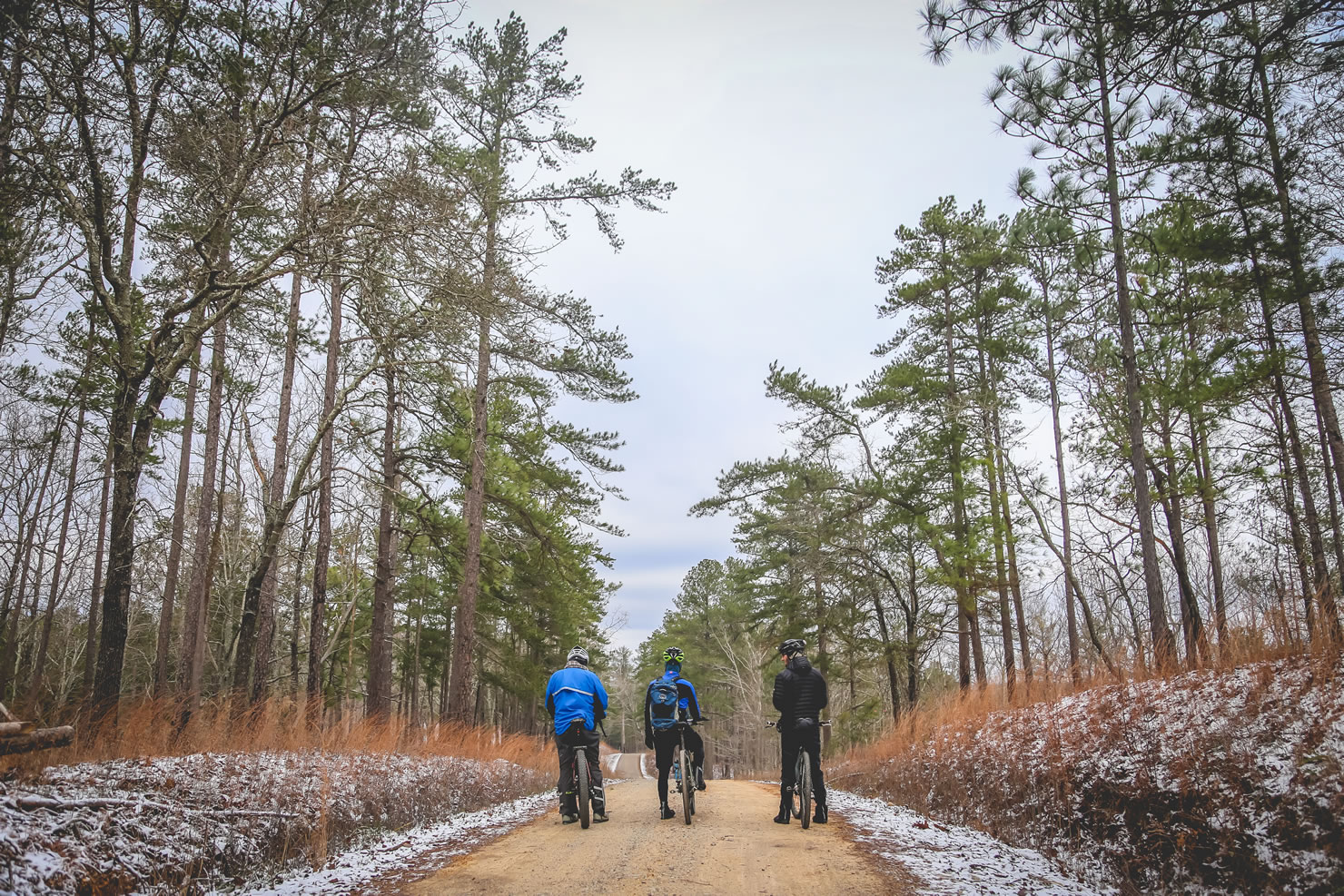
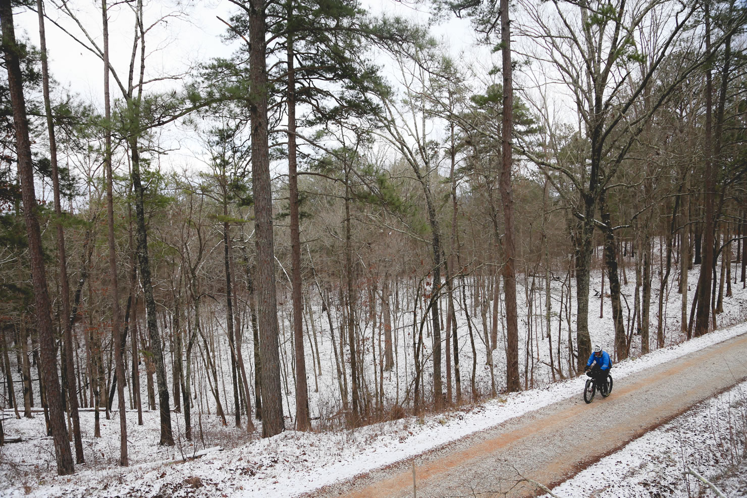
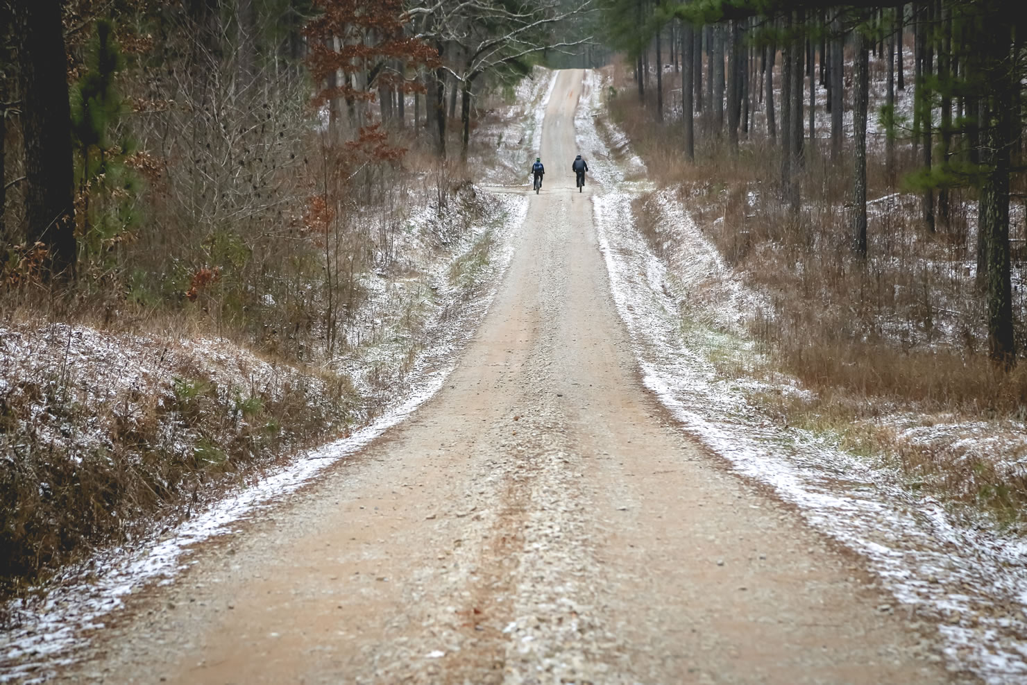
The Alabama Skyway starts along the Alabama-Georgia state line where the Chief Ladiga meets the Silver Comet trail. Follow the multi-use path until you reach Duggar Mountain Road just short of Piedmont. The road climbs suddenly as pavement falls way to gravel. This finely graded forest service road climbs through forests of Virginia Pine, Chestnut Oak, and the storied Longleaf Pine. If you are lucky enough to be traveling this route in the spring look out for patches of huckleberries and flowering mountain laurel in the meadows. The fall brings splashes of orange, crimson, and yellow foliage. Punchy climbs abound; Dugger Mountain Rd leads into the paved Skyway which follows some of the steepest sustained grades in the state to Cheaha State Park, Alabama’s high point. Stop at the park’s lodge and have a bite to eat, arguably one of the best views in the state is out on the front porch. From here the Skyway road winds down some thrilling paved descents and then giving way to old 4×4 roads (FSR600-2) at Adams Gap. The route then follows the same ridgelines as the famous Pinhoti hiking trail which is known for being the unofficial pre-cursor to the Appalachian Trail. Towards the end of the forest service road, don’t miss your chance for a detour to Lake Howard’s fast and flowing trails of the Sylaward trail system. From here, follow paved roads to the finish at Flagg Mountain.
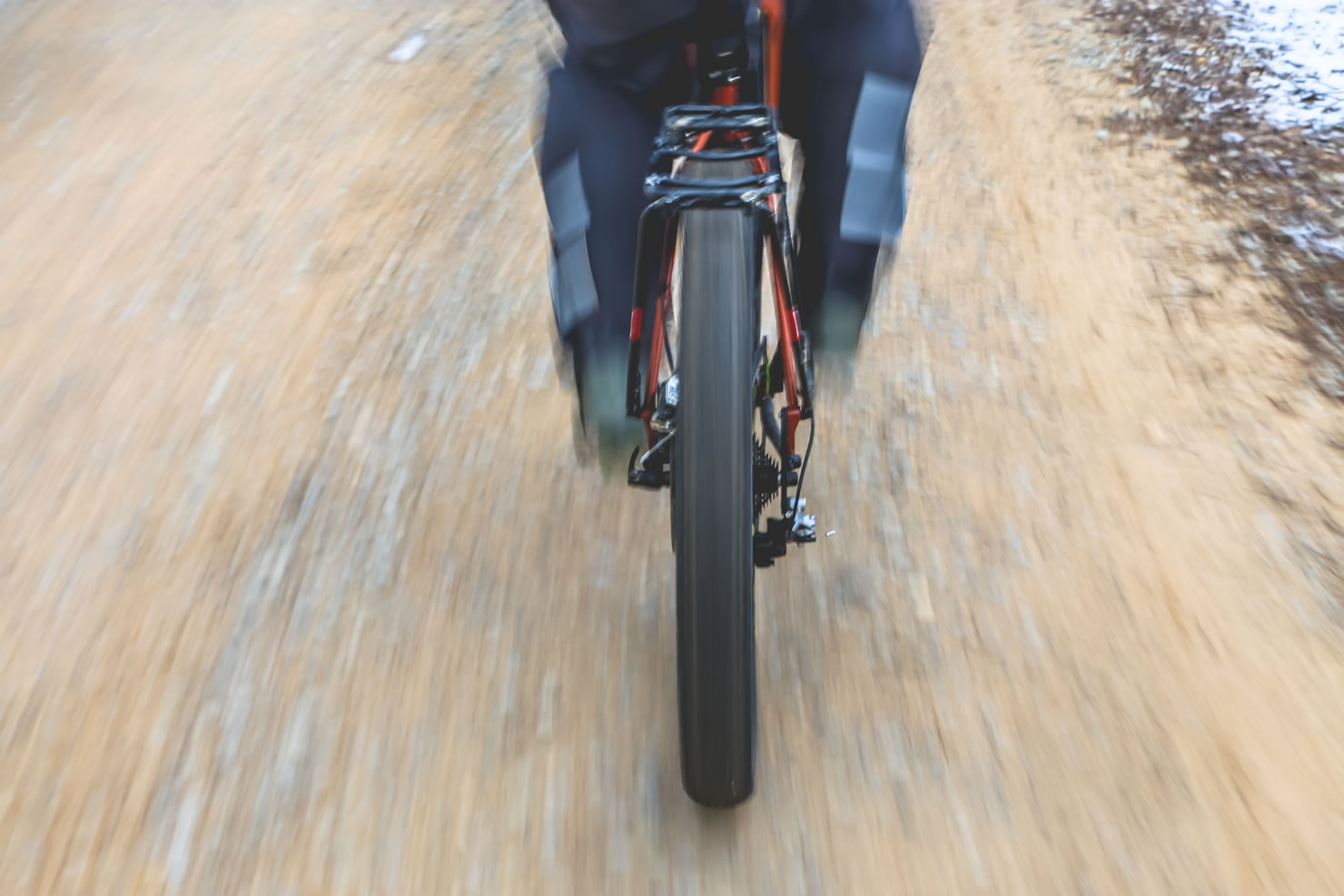
Difficulty: We have assigned the Alabama Skyway a 4/10 based on the physical difficulty of the route. With some of the steepest grades in the state, the Skyway will make you question your pre-conceived notions of Alabama’s topography. With no mandatory singletrack (but options for it), the chunky gravel/dirt roads are relatively easy to ride in a technical sense. Logistically, this route couldn’t get much easier. Especially when compared to the TNGA’s cue sheets.


Submit Route Alert
As the leading creator and publisher of bikepacking routes, BIKEPACKING.com endeavors to maintain, improve, and advocate for our growing network of bikepacking routes all over the world. As such, our editorial team, route creators, and Route Stewards serve as mediators for route improvements and opportunities for connectivity, conservation, and community growth around these routes. To facilitate these efforts, we rely on our Bikepacking Collective and the greater bikepacking community to call attention to critical issues and opportunities that are discovered while riding these routes. If you have a vital issue or opportunity regarding this route that pertains to one of the subjects below, please let us know:
Highlights
Must Know
Camping
Food/H2O
Trail Notes
Resources
- Get a view at Alabama’s highest elevation, 2407 feet at Cheaha State Park.
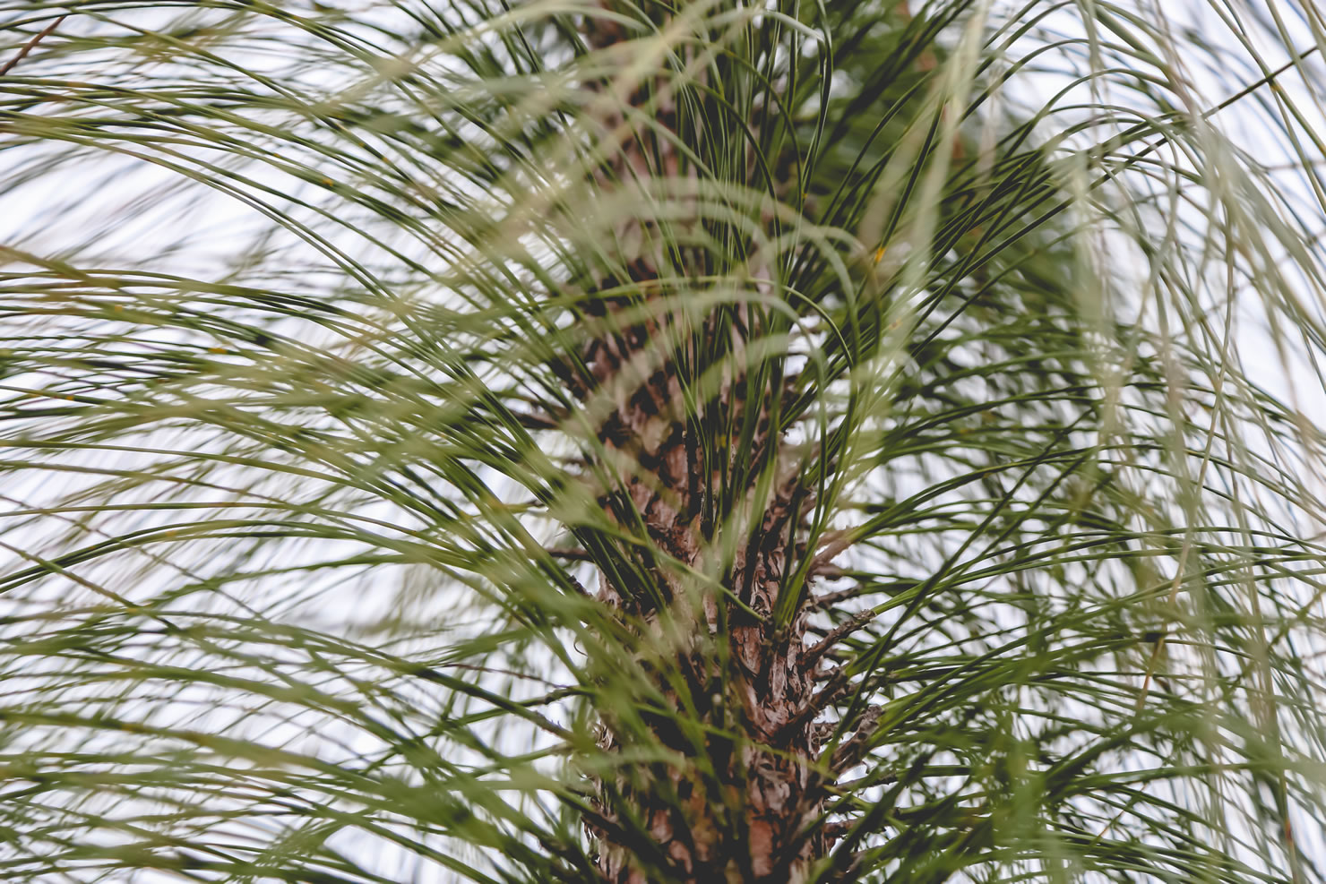
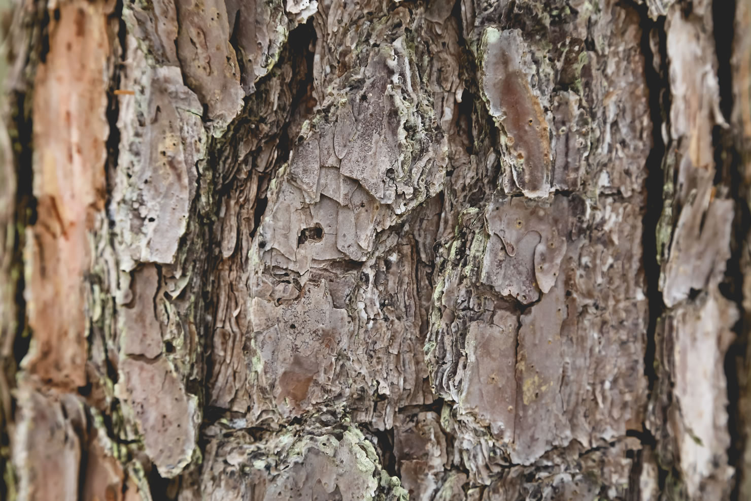
- Forests of Long Leaf Pine (the Alabama state tree) can be found in the Talladega National Forest. A resilient tree that saw huge decimation in the early 1900’s due to over logging and fire suppression is now making a comeback because of conservation efforts.
- Stop for a beer at the Cheaha Brewing Company after finishing the route.
- February – May or September to November.
- Parking/day use fees are needed to use the Lake Howard trailhead ($2/person/day).
- Since this is a traverse, a shuttle will need to be set up. Parking has been indicated on both ends of the map.
- No permits needed for the National Forest.
- Bear hangs recommended for primitive campsites (mostly for small critters).
- The difficulty of the route comes from the elevation gain on FSR600, combined with the mileage this can be a tough ride.
- The entire route is rideable aside from fallen trees here or there.
- Primitive campgrounds are plentiful in the Talladega National Forest there are many clearings used as hunting campgrounds that are useable throughout the route. Although there are no camping spots marked on FSR 600-1 & 2, there are a few decent areas in which to set up camp.
- Camping and access fees are required at all designated campsites.
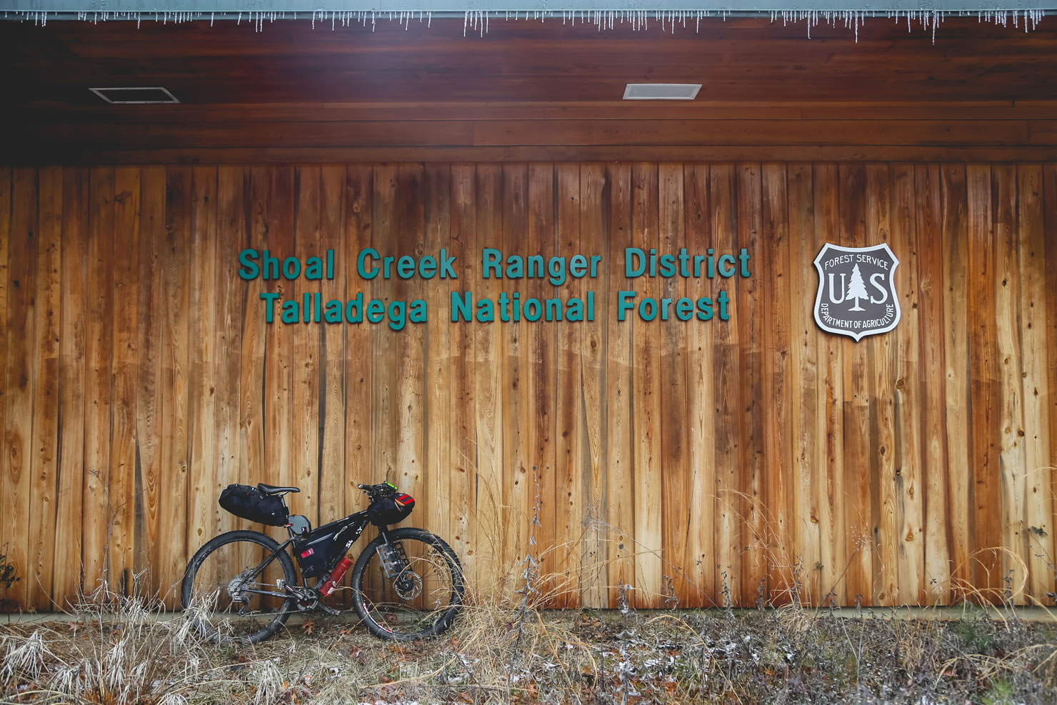
- Water can be resupplied for the first half of the route at the Forest Service building located just outside of Cleburne or in creeks that run most of the year for the first half of the route. Water can be resupplied for the second half of the route at the church located at the beginning of Skyline Drive.
- Please be aware that many of the creeks tend to dry up in the summer and in droughts.
- A small general store is located at the top of Cheaha Mountain along with a fairly priced restaurant that sports a great view. The restaurant has a pretty average breakfast buffet on Sunday mornings, but average buffets are normally held in much higher esteem than they normally are while on a bike tour.
Ideally this route is done in two days, but can be split into three days with some planning. Start along the Alabama Georgia line along the Chief Ladiga trail. Follow the multi-use path until you reach Duggar Mountain Rd (FSR 500) just short of Piedmont. The road climbs suddenly as pavement falls way to gravel. This finely graded forest service road follows short punchy climbs until it into the paved Skyway next to the Cleburne Forest Service Station. The Skyway follows some of the steepest sustained grades in the state with incredible panoramic views of the plains below. Once reaching the very top, you have arrived at Cheaha State Park, Alabama’s highest elevation. From here the Skyway winds down some thrilling paved descents and then giving way to old 4×4 roads (FSR600-2) at Adams Gap. The route then follows the the ridgeline along chunky dirt/gravel roads. County Road 600-2 eventually turns into Skyline Drive. Take a right at the Church (water spigot) onto Horns Lake Rd. Another right onto Alabama State Route 77 and an immediate left onto the steep FSR 600-1. Rocky Mountain Rd and Wiregrass Rd will lead you by the singletrack at Lake Howard and a series of paved roads will lead to the end at Flagg Mountain.
Additional Resources
- Talladega National Forest Quad – fs.usda.gov


Terms of Use: As with each bikepacking route guide published on BIKEPACKING.com, should you choose to cycle this route, do so at your own risk. Prior to setting out check current local weather, conditions, and land/road closures. While riding, obey all public and private land use restrictions and rules, carry proper safety and navigational equipment, and of course, follow the #leavenotrace guidelines. The information found herein is simply a planning resource to be used as a point of inspiration in conjunction with your own due-diligence. In spite of the fact that this route, associated GPS track (GPX and maps), and all route guidelines were prepared under diligent research by the specified contributor and/or contributors, the accuracy of such and judgement of the author is not guaranteed. BIKEPACKING.com LLC, its partners, associates, and contributors are in no way liable for personal injury, damage to personal property, or any other such situation that might happen to individual riders cycling or following this route.
Please keep the conversation civil, constructive, and inclusive, or your comment will be removed.