


Rocky Mountain Maneuvers
Share This


When Trevor Browne decided to race in the Alberta Rockies 700, he opted to take the long way to the start line, riding an extra 230 km through a maze of logging roads to get there. Read on for his story of missing turns, meeting mushroom hunters, and learning to appreciate the magic of the road…
Words and photos by Trevor Browne (@messkitmagazine)
I had an idea. I wasn’t the first to have it, and I’m sure I won’t be the last to act on it. Just a few days before the Alberta Rockies 700 bikepacking event in Coleman, Alberta, I had decided to ride an additional 230 km to the start of the 700 km event. Taking a cue from Lael Wilcox, I rode to the event to get a feel for the Rocky Mountain landscapes I’d soon spend four days racing through. I was already 100 km into the pre-event ride and I was loving every moment – that is, until I took a wrong turn amongst the labyrinth of forestry roads that cross the southeastern Rockies of British Columbia.
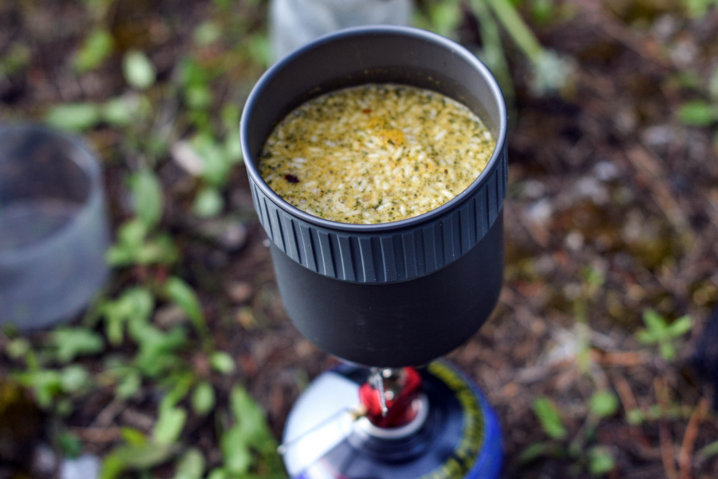
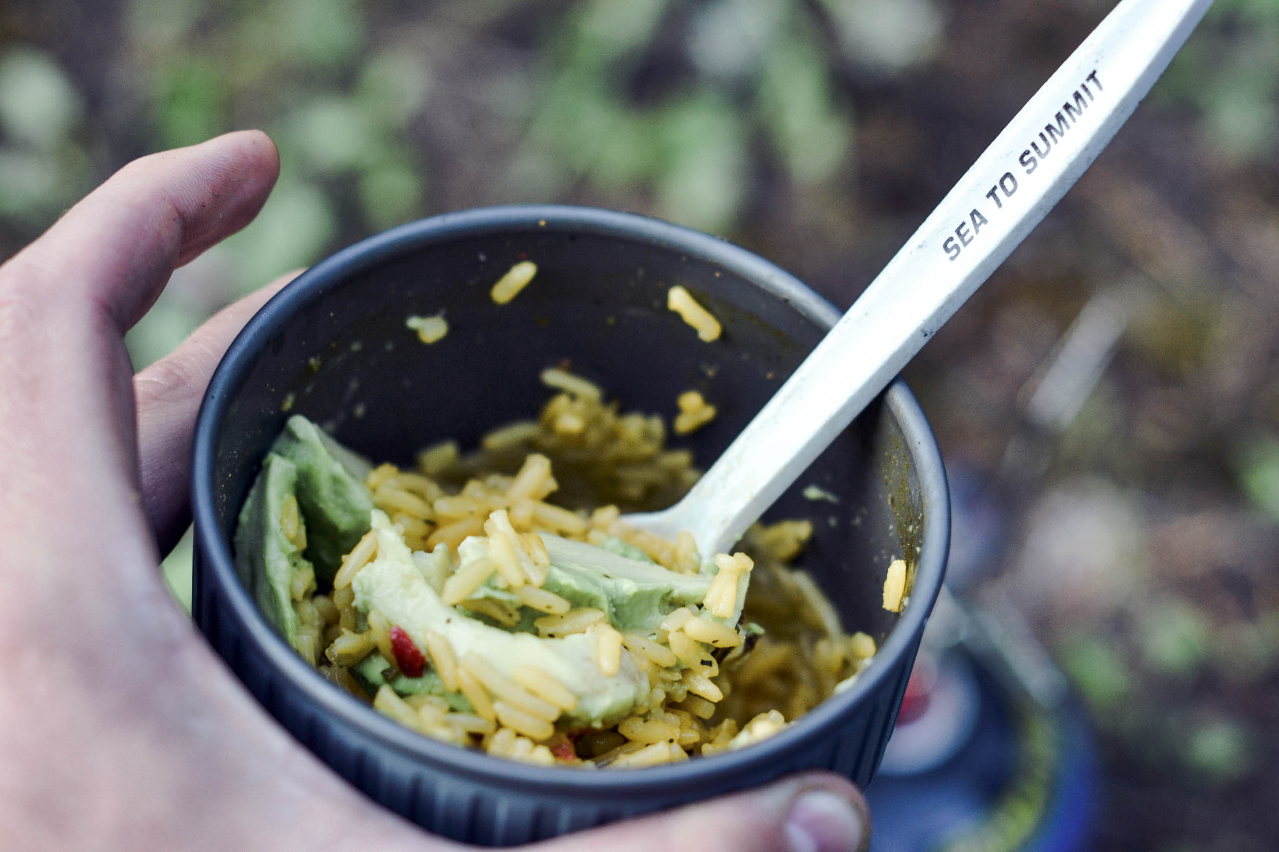
I was visiting British Columbia from Montreal, Quebec, so I had all my gear pre-planned and well thought out. I hadn’t originally intended to ride to the start line, but I’d packed in such a way that two extra nights wouldn’t matter, aside from needing to add more food. So, the night before, I sketched out a meal plan that would add two additional days of sustenance to my existing four-day plan. With this new plan, I could carry six day’s worth of food, or easily stretch it out to ten in case of an emergency. Amongst other things, I packed meals that included Mexican rice with avocado; burritos; penne cooked in a salty chicken broth; oats with dried fruit and trail mix; and of course, lots of peanut butter, jerky, and cheese. With a proper plan, you can have much tastier meals than the freeze-dried variety, and at a fraction of the price. While it does take a little more effort to think things through and prepare in advance, I would argue that it’s ultimately worth it.
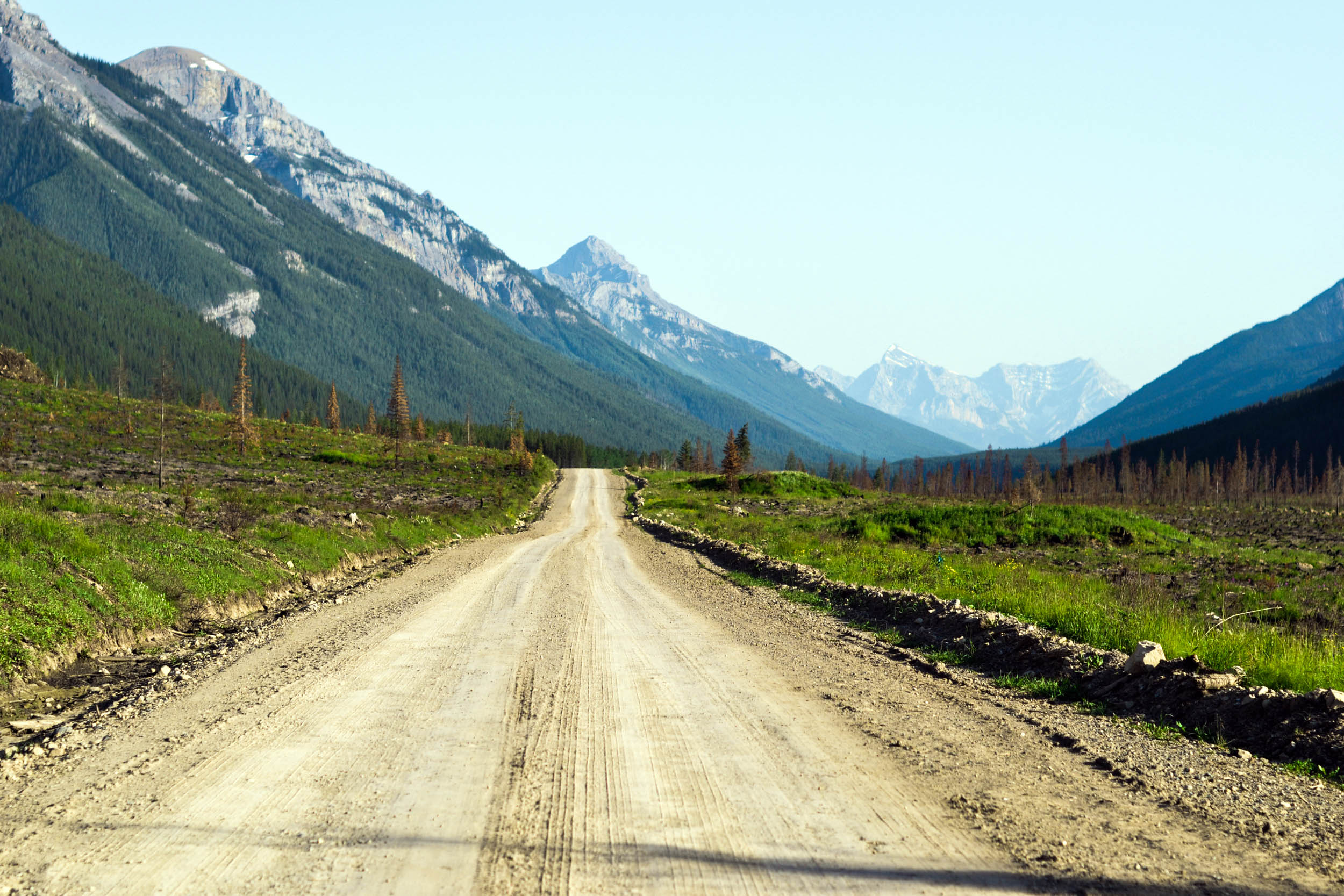
My route started near Canal Flats, just up from where I was staying. It was a perfect bluebird sky, and I couldn’t have been more stoked. I quickly bid adieu to the pavement and turned off onto the gravel road where Whiteswan Lake Forest Service Road began. The climb was gradual and winding from the valley below. Luckily, about 20 km after I hit gravel I arrived at Lussier Hot Springs. Rocks were stacked around the four different natural pools: each one of varying temperature, depending on how far it was from the source in the stone wall. I took a dip in the hottest pool and quickly ran into the glacier-fed river beside it. After repeating this two or three times, my body was tingling and I was ready for another 100km.
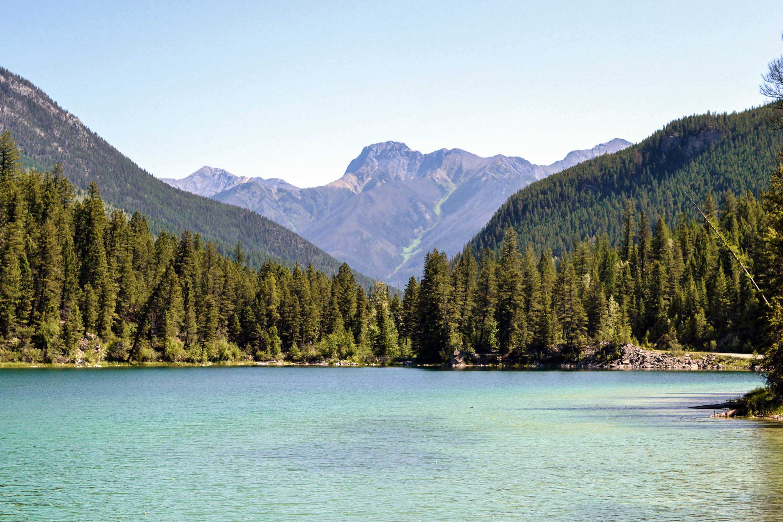
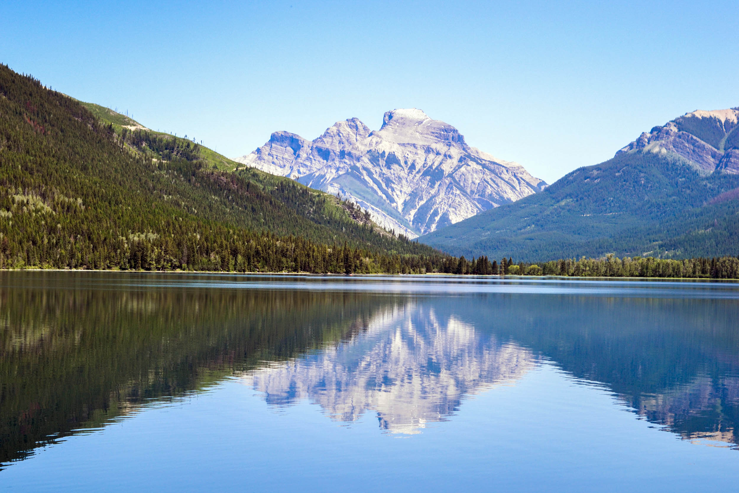
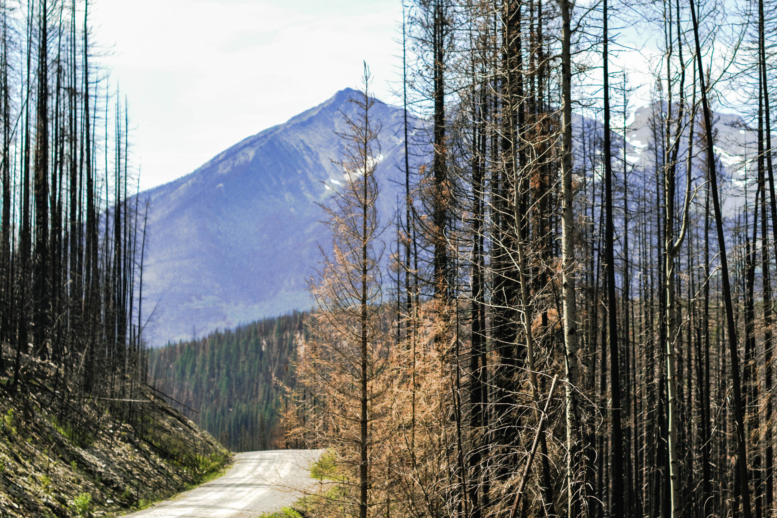
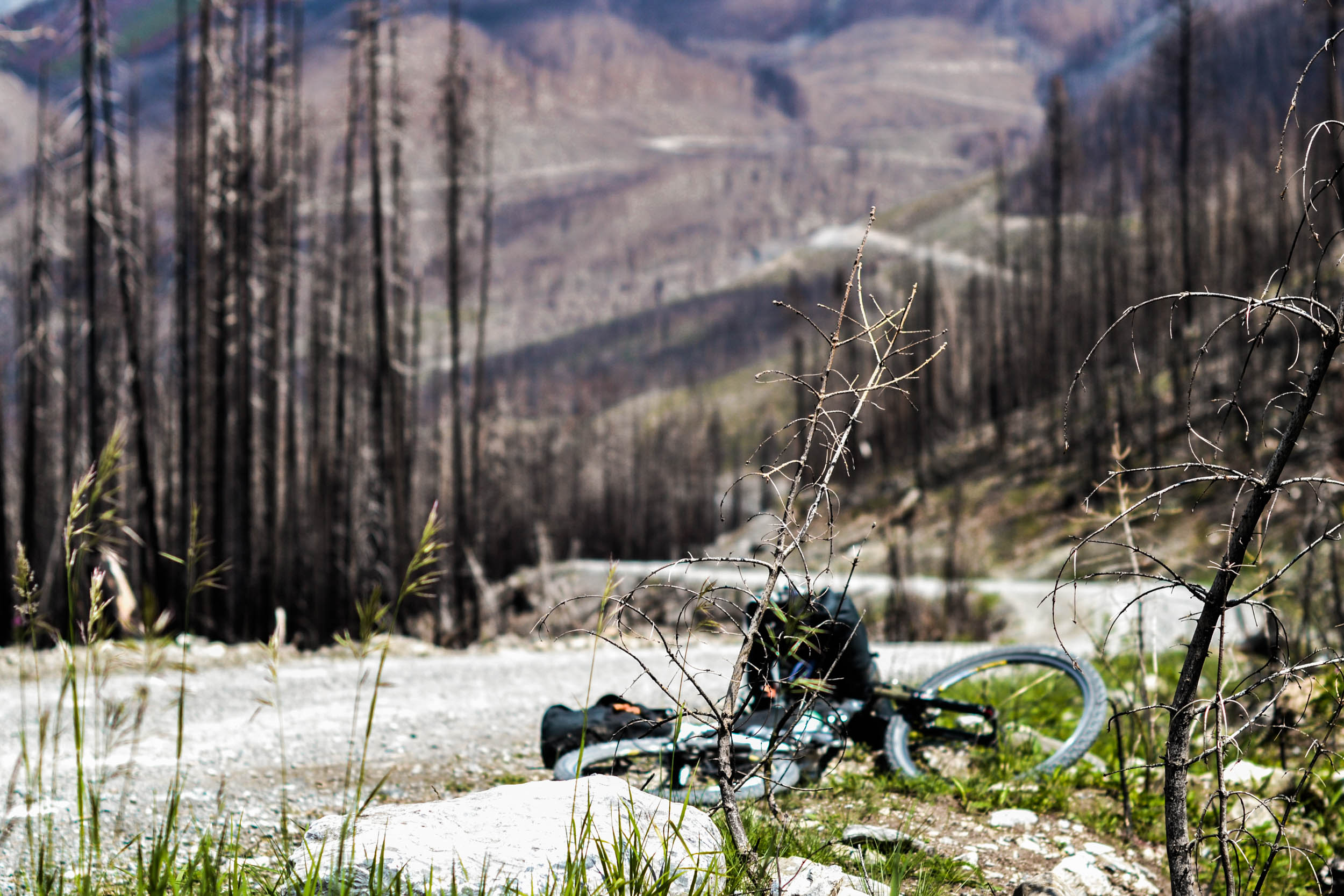
The views were spectacular once I reached the turquoise waters of Whiteswan Lake. So far, Google’s directions were spot on and easy to navigate. Winding around rivers and steep cliffs kept things interesting. After a roller-coaster ride of climbs and descents, the landscape turned from thick bush to sparse, blackened timber. Previous years of extensive forest fires and clear-cut logging had ravaged the land and precious shade was nowhere to be found. Logging roads were branching off everywhere without signage, and random forks appeared out of nowhere. These branches weren’t showing up at all on my map. I started to get a little apprehensive about my route, but I wasn’t too worried, as I could always backtrack towards civilisation.


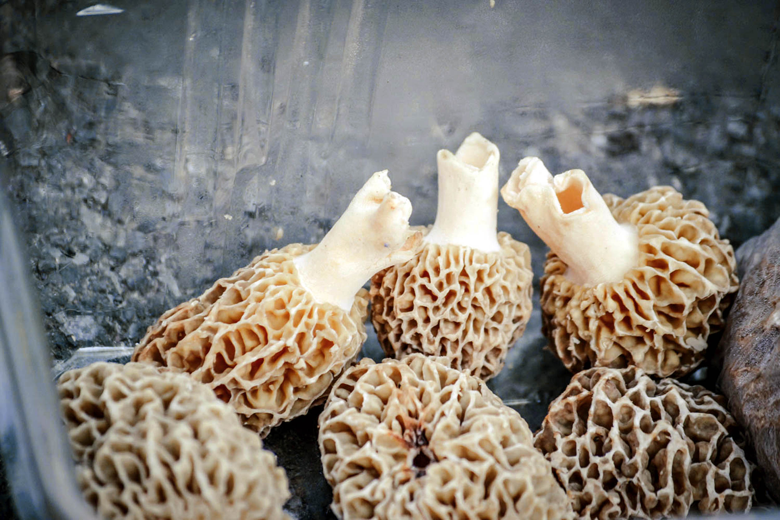
After about 50 km, small camps started popping up – some very well established. Then, I figured it out. These weren’t just any campers, they were mushroom hunters! After the previous year’s ravaging fires, morels were popping up everywhere, and it was big business. People spend months in the bush working long hours, hauling large panniers over many kilometers to get the big payload. I tried to stop and talk to a few people to see if I was on the right track. Some were extremely friendly and asked about my trip, while others were obviously trying to keep their mushroom hunting spots a well-guarded secret. People were showing me their precious cargo; some of the blond morels were as big as my head! The last couple I spoke to were just returning from 50 days in the bush and were curious as to where I was headed. They looked at me a bit oddly when I mentioned where I was going, especially alone and so late in the day. They didn’t have any maps or extensive knowledge of the area, so they wished me luck and I was on my way.
The heat was getting unbearable at such a high elevation and my water supplies were getting low. I kept checking my cues and it seemed like I was on the right track. I passed a road maintenance crew fixing a washed-out bridge. They looked busy, so I didn’t stop to ask for directions. Another five kilometers down the logging road, there was no longer any road at all. It just stopped and turned into a singletrack trail. Normally, I’d be thrilled at this, but it wasn’t the route I was looking for. I quickly decided to turn around and ask the maintenance crew for directions. Surely, I thought, they would know the area. Turns out they did. One of them started laughing when I told him where I was going. “You missed the turn-off at least 30 km back,” he chuckled. “Go back to the East Fork Trail and take the right fork. You took the middle fork.”

Finally, I arrived back at the turn-off. Funnily enough, I remembered stopping at this fork earlier and taking photos. Oh well. That’s what adventure is all about: getting lost and finding your way. It was 7:00 pm and I still had a huge pass to get over, and I had already done 150 km of gravel and poorly maintained logging roads. The previous week’s rains had washed a lot of the road away and it was slow going. Luckily, with the sun getting lower, the temperatures were at least beginning to cool off. The golden hour arrived and I started to get into my element. I love the peaceful serenity of cycling in the evening hours. Animals start popping their heads out of the dark hollows. Long shadows from pine and fir trees roll across the road in spellbinding patterns. I stopped a few times to take in the majestic views and breathe it all in. Moments like these make cycling an unbeatable experience: travelling under your own power along unknown roads with all your senses guiding you along.
Finally, I reached the pinnacle of the pass. I looked down at my phone. It was about 9:30pm, and there was still enough light to ride without a headlight. I decided to keep pushing on, anticipating the downhill section ahead. Half an hour into it, though, I was exhausted, and realized making camp would be a better idea – but not before getting some roadside information from some loggers enjoying a beer. “This road ends up at Fernie, on the Crowsnest Highway, right?” I asked them, after some initial banter. “Of course. Just follow it all the way down and you’re home free,” they confirmed, before offering me a couple of much-needed cold beers. I think they could tell how thankful I was by the huge smile on my face. We exchanged handshakes and I was on my way.
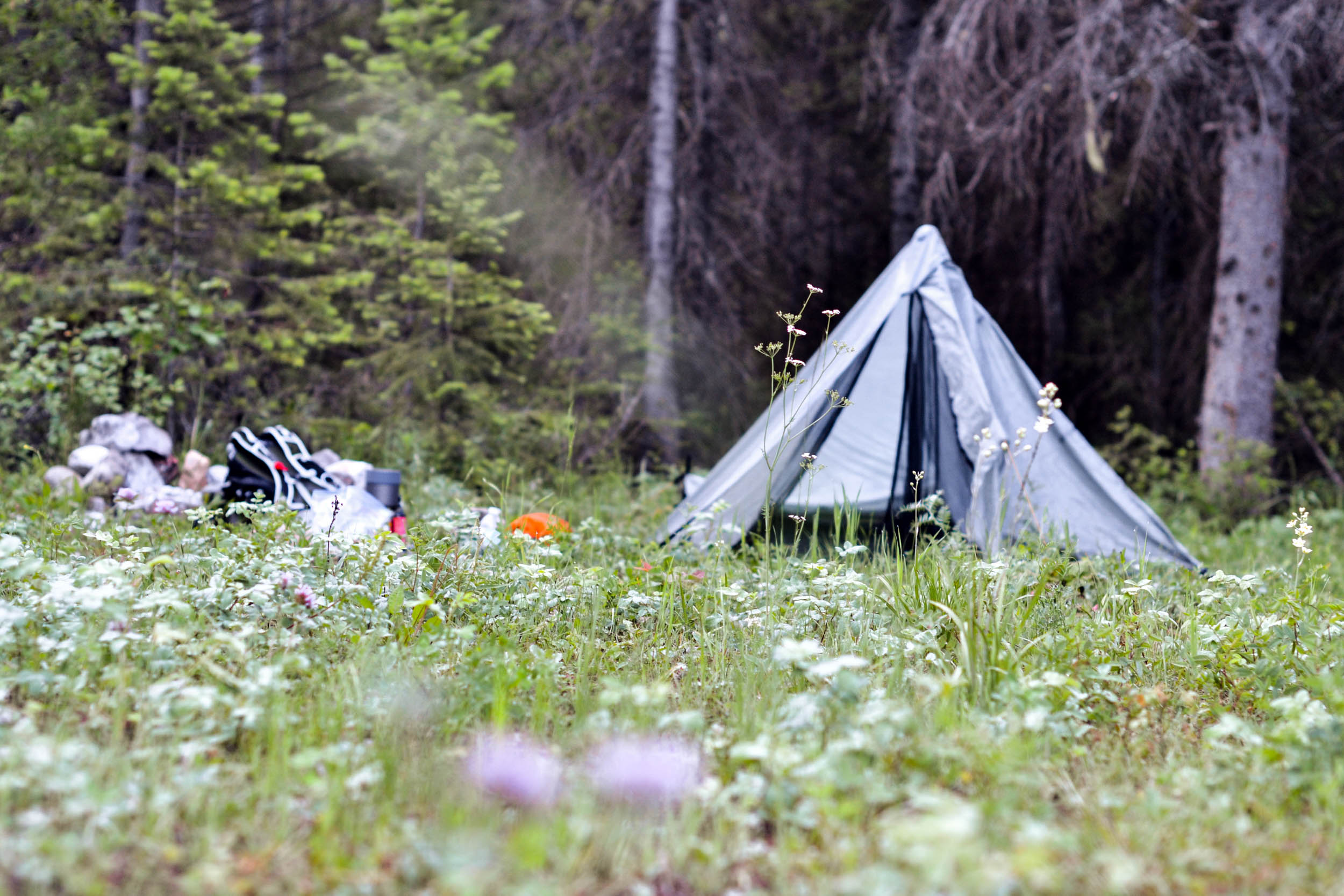
Just down the road I found a nice meadow with a river flowing swiftly alongside it. Not only was I about to set up camp and make some burritos, but I also had some cold beverages to accompany my dinner thanks to my new friends. Life was good. After a few minutes of cooking, the rice and beans were ready, avocado sliced, and tortilla resting on a rock ready to be filled and rolled. It was a perfect meal after a long, 180 km day. With my hunger satisfied, and perhaps a little beer buzz, I retired to my bed roll and easily drifted off to sleep.

My alarm went off at 5:00 am. The morning came too soon. The sun hadn’t risen yet, so I quickly pulled on my damp jersey and bib shorts, adding some knee warmers and a jacket, and boiled water for coffee and oats. I started to feel a bit worried while sipping my coffee. Was I going to be too worn out before the AR700 even started? I was sunburnt from the day before, and also a bit dehydrated, but once I was up and walking around, I wasn’t feeling too bad. I was back on the road just as the sun’s first rays started peeking over the mountaintops. At least it was downhill, so I could ease into pedalling. I had about 100 km to go, and was a bit behind schedule, but the last part of the route was on a paved highway, so I didn’t think I’d be too late rolling into Coleman.
After a couple of hours of digging deep into my energy reserves, I was finally getting close to Fernie. I took a break by the side of the road and started to question my decision to take the long way to Coleman. I had a change of plan: I would hitchhike the last 65 km. I stuck my thumb out and put on my biggest, friendliest smile. After 15 minutes of patiently waiting, a truck slowed down and stopped. I ran towards him like he was my saviour. We greeted each other, and I explained my situation to him. He was more than sympathetic, and helped me throw my bike into the back of the truck. Less than an hour later, I was in Coleman chugging down a cold Coke at the local gas station. I had made it 280 km on one wild ride. Sunburned and completely exhausted, I found a shady park and rested my weary body. After this experience, I knew I would be ready for whatever the AR700 threw at me.
What had I learned from this experience? Be aware. Don’t just ride with your head down, nose to the grindstone. Look around you and take in the environment. Talk to the people along the trail. Look at and appreciate the beauty around you. When you are at your lowest, you never know when someone around the next corner is waiting with snacks, beer, or even information on how to get out of the labyrinth. I went on to ride the AR700 successfully and at the front of the pack for close to 550 km, appreciative of the people, riders and landscape around me. At that point, I had some major mechanical problems and regrettably had to pull out – but I’ll save that story for another occasion.

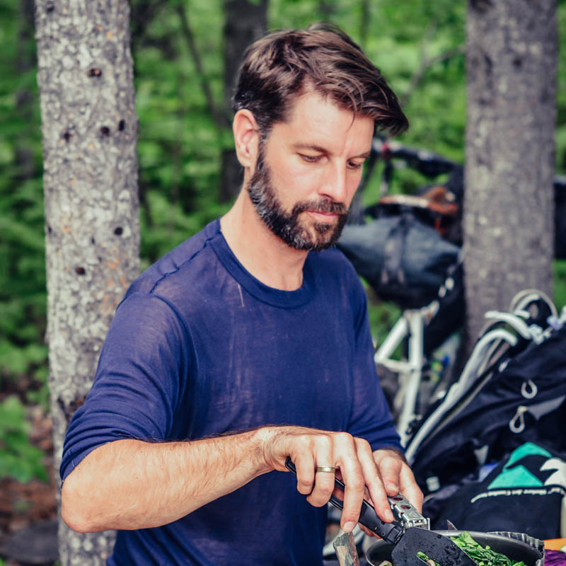
About Trevor Browne
Trevor Browne was born a stones throw from the Rockies of Alberta. He now resides in Montreal with his family of four where he is a multimedia producer and a curator at Messkit magazine. He’s jack of all trades when it comes to biking. He’s ridden 7,000 km across Canada, was one of the first Canadians to complete the Tour Divide, rode the Paris-Brest-Paris, commutes 365 days a year, and actively rides in bikepacking and rando events with his aeropress and stove in hand. Find him on Instagram @messkitmagazine.
Please keep the conversation civil, constructive, and inclusive, or your comment will be removed.