


Looking Down Is Looking Up (Video)


In this new short film sponsored by Salsa Cycles, two riders set out on an ambitious five-day traverse of New Zealand’s rugged and beautiful South Island. Check out the full film below, and read on for an exclusive behind the scenes story from the trip…
PUBLISHED Jun 22, 2018
Words by Deane Parker (@deaneparkernz), photos by Extremekid Productions (@extremekid_productions)
Hundreds of years before a stuffy English barrister named Leonard Harper crossed the low, bushy saddle at the Main Divide of New Zealand’s South Island, giving the pass his name, Harper Pass was known by the Maori as Taramakau. The Maori tribes used the pass on their route for transporting sacred pounamu – a variety of jade – from the west coast to the larger communities on the east coast. Once there, it was used in tools, weapons, and jewelry.
In the 1930s, the government planned to construct a trail here to rival the Milford track, but due to the difficulties of the terrain and fast flowing, flood-prone rivers, the plan was discarded. The track is now part of the Te Araroa Trail, New Zealand’s 3000 km walking route.
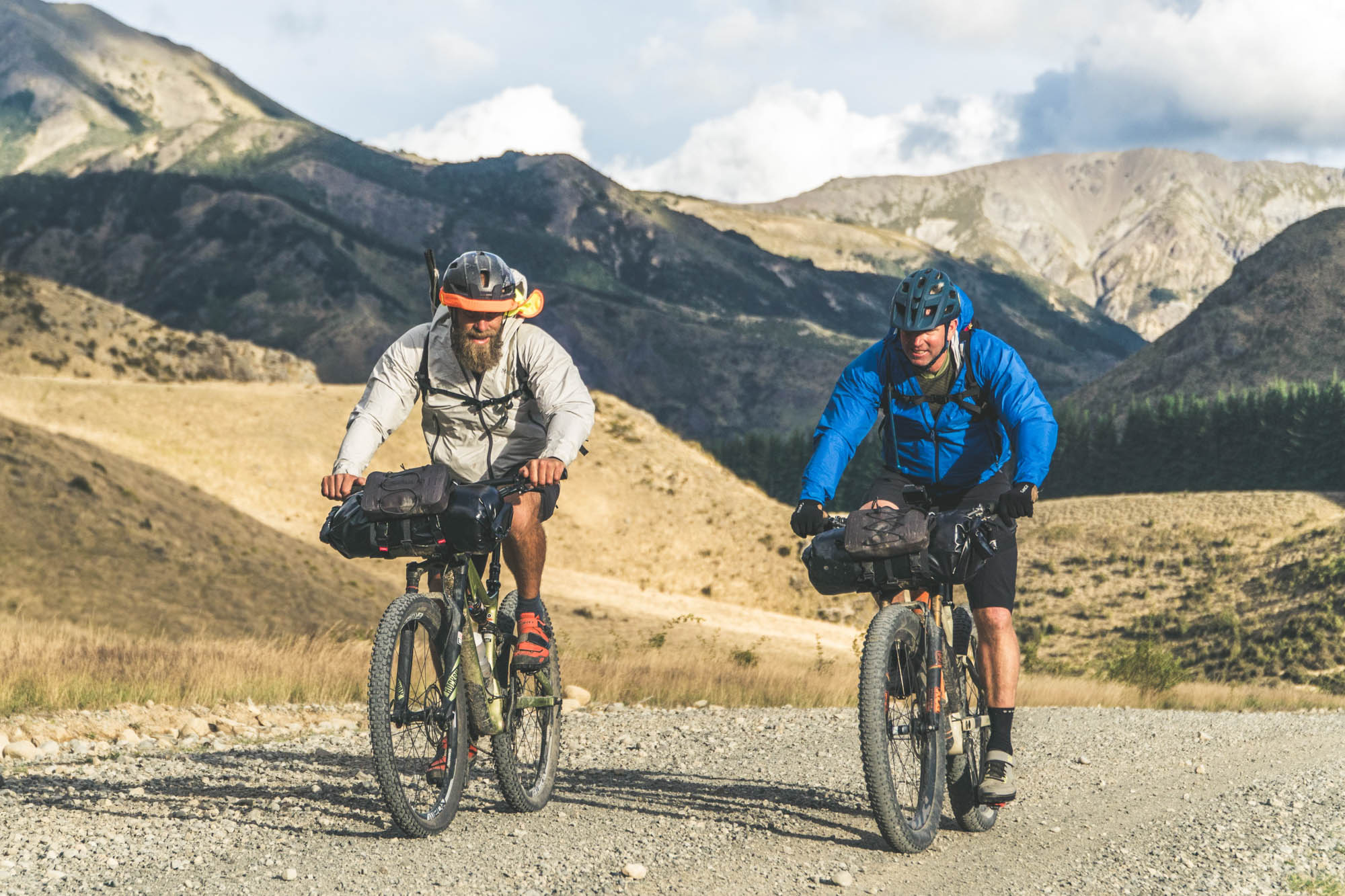
Harper Pass was the Main obstacle along our route, but it was just one of the many challenges we faced while riding through the hilly, high country around Canterbury. And of course there we the gale-force winds whipping over the Main Divide to contend with.
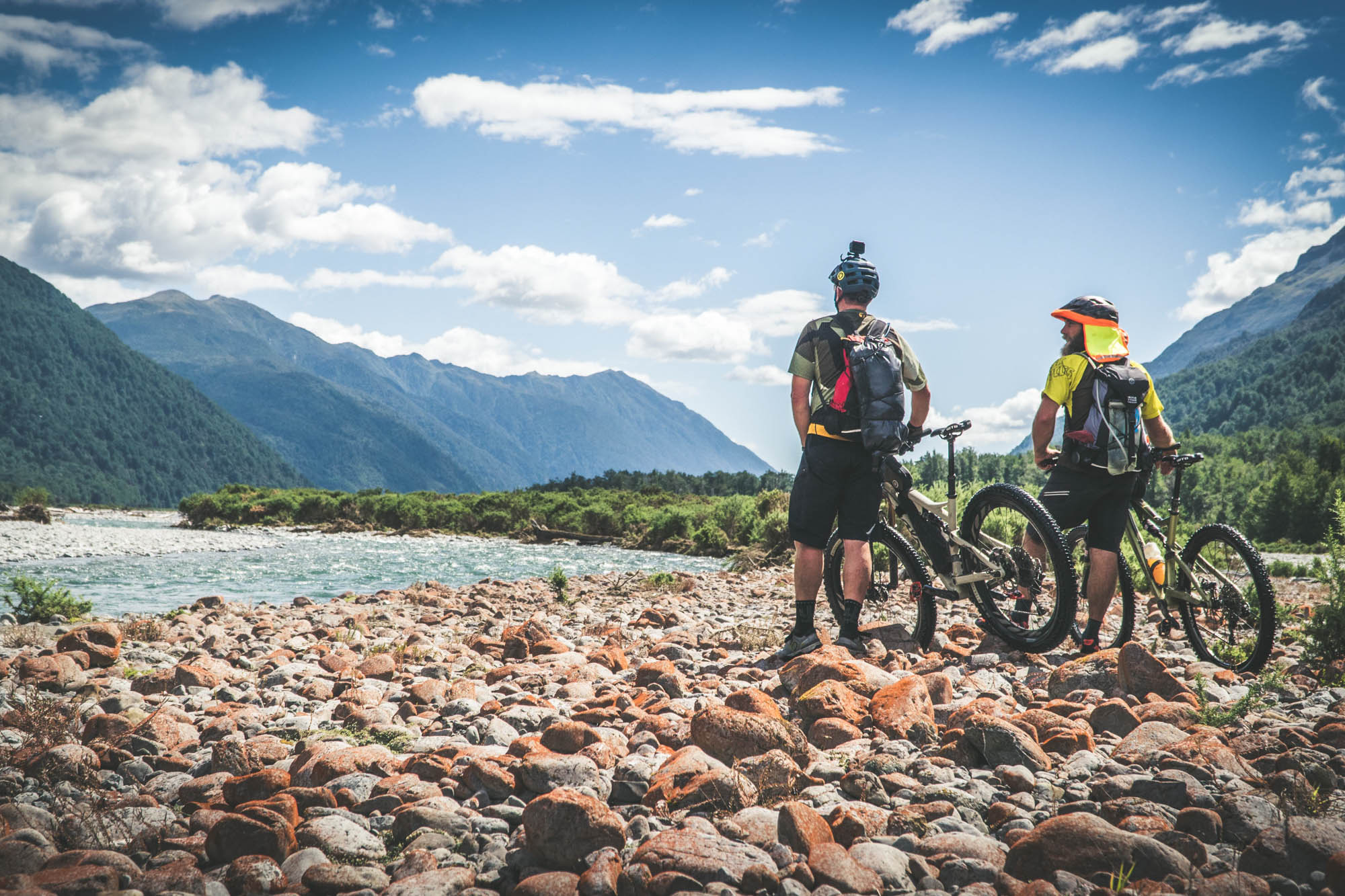

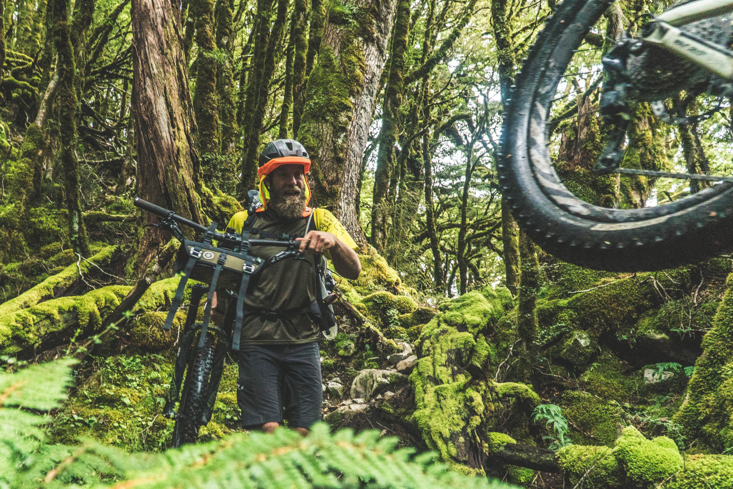
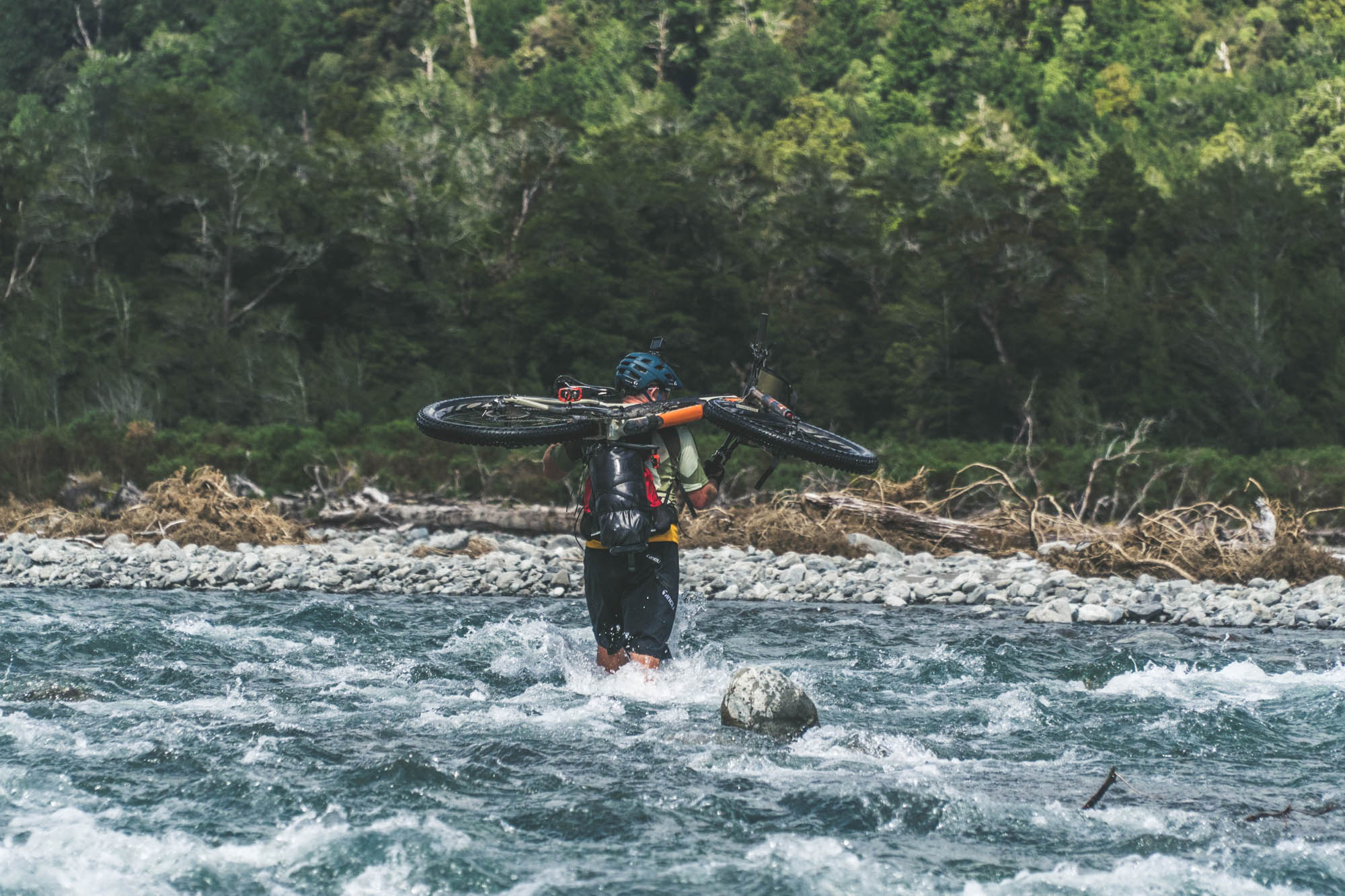
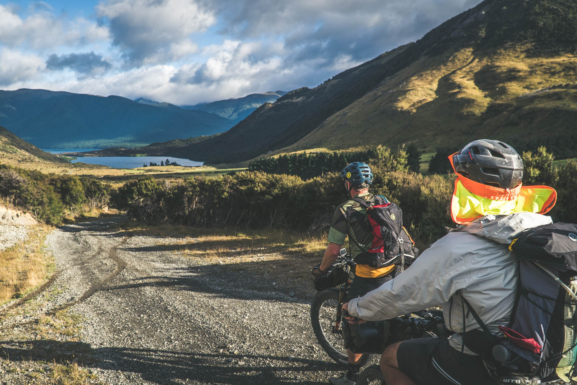
During the first two days we enjoyed the singletrack goodness of the Wharfdale track, although the crushing headwinds on our approach to Lake Taylor put us back by almost half a day. When we awoke to clearing skies on the third day, it seemed like it’d be our chance to make up time. As we pedaled along the shorelines of Lake Taylor, Loch Katrine, and Lake Sumner, the mountains rose from the valley floor and formed a staircase of ever-higher peaks en route to the Main Divide. The beech forest closed in around us as we negotiated three challenging river crossings.
By mid-afternoon, the realization that we weren’t going to make it over the pass that day set in. The chances of crossing over to the west side were slipping away from us. The brutal conditions had us hiking more than riding, and we still had kilometres of hike-a-bike to get to Harper Pass Biv, a tiny shelter perched close to the pass. Officially, Harper Pass Biv is a two-person hut. But, given the absence of flat ground to lie down on outside the little orange box, the three of us squeezed in for the night. After nearly 11 hours of pedaling, we were stoked to have made it there, regardless.
The network of Department of Conservation huts in New Zealand’s backcountry is impressive. The nearly 1,000 huts range from tiny bivvys like Harper to the mansions of the Great Walks. A lot of the smaller huts we built in the 1950-60s by the government to house workers who were culling the exploding population of non-native deer in the local forests. This network of shelters makes backcountry bikepacking a considerably lighter proposition.
The next morning we dragged, carried, and pushed our bikes to the saddle in significantly less time than we’d expected, which provided a desperately needed boost to our morale. Finally, the smiles broke out, and looking down into the Taramakau Valley really was looking up.
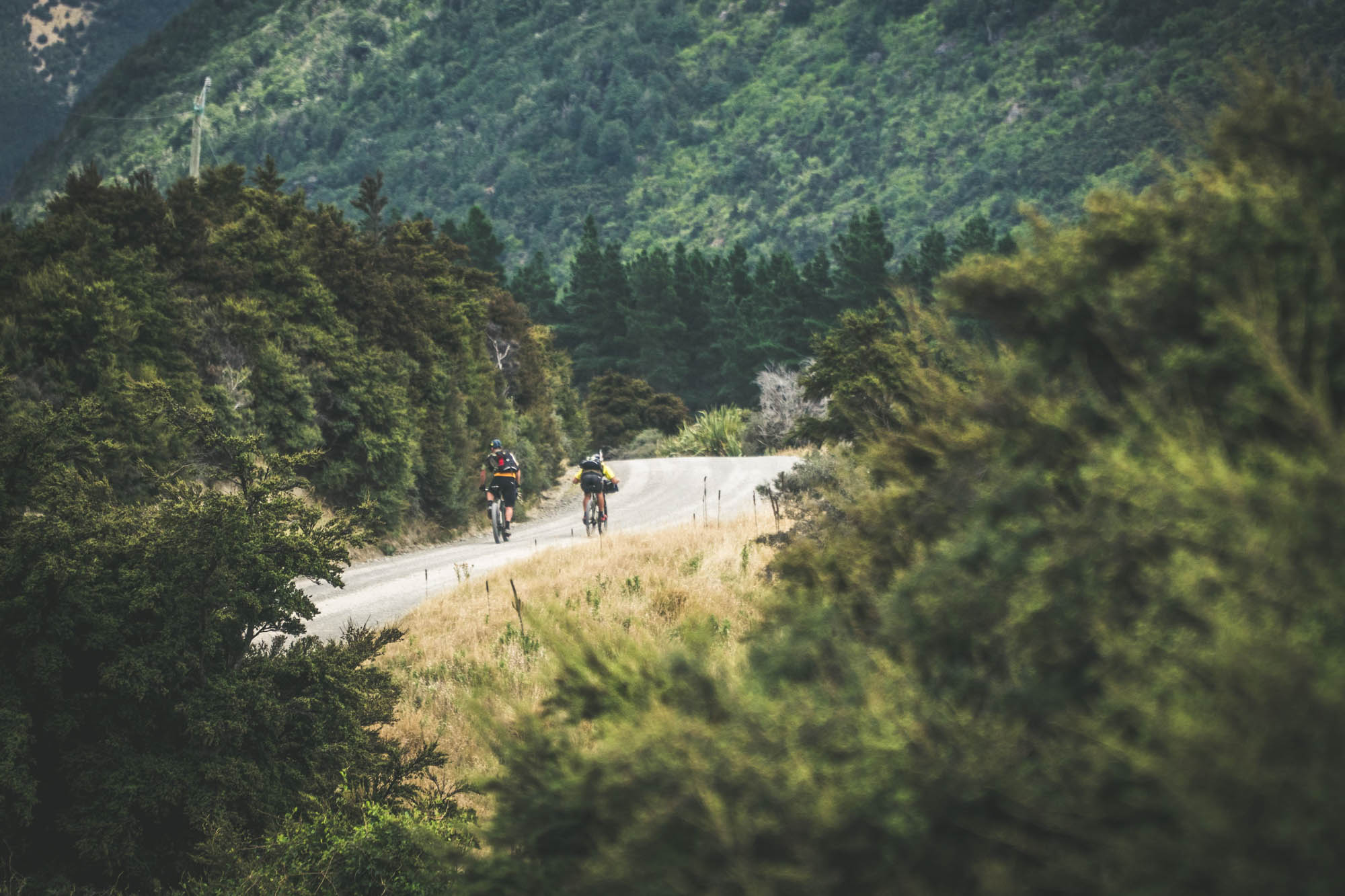
The rest of the fourth day saw us toiling down into the valley, picking up old vehicle tracks only to lose them just as quickly as we’d found them. We did our best to simply follow the river downstream. We made it to the village at Arthur’s Pass that night, putting us back on schedule. It also meant that we’d crossed the Main Divide twice in one day.

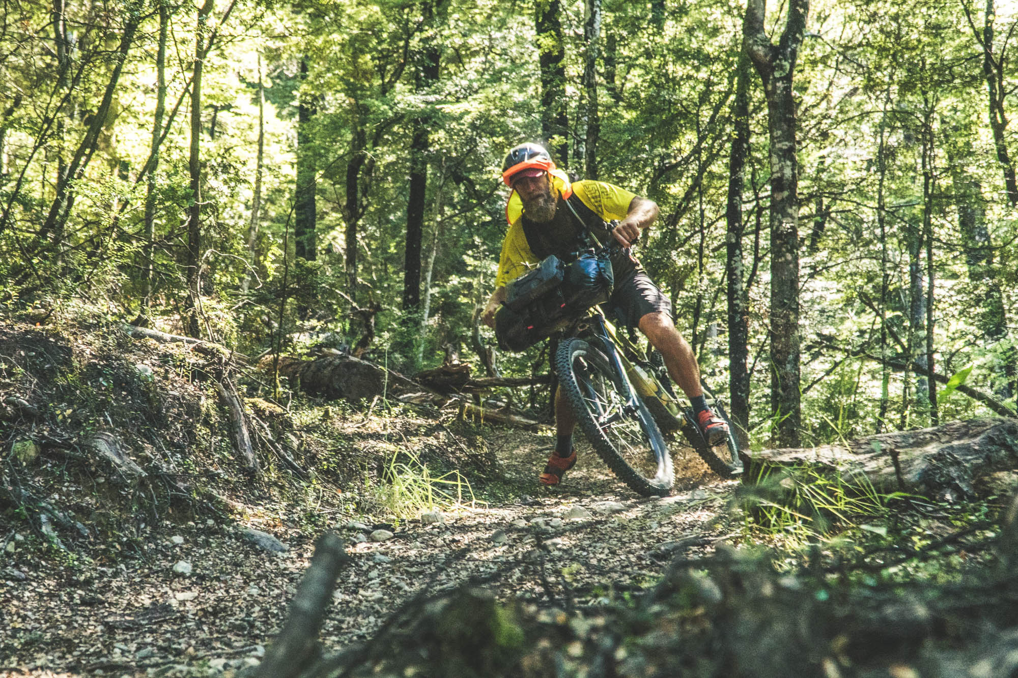
The trails in Craigieburn Forest Park were the highlight of the last day. Trails like Hogs Back, Drac Flat, and Coal Pit Spur got our adrenalin pumping, helping to dilute the lactic acid and forcing the grey matter to focus on the lines. The amount of trails in the intermediate-expert category in Craigieburn Forest Park is mind blowing. It’s no surprise that it’s becoming one of the most popular trail destinations in Canterbury.
We completed the loop by coasting down the plains and back into the little town of Springfield, where we could finally tick that one off. Now, about that route up north we were talking about…
Notes on Equipment
Deane used a custom built Salsa Pony Rustler running 27.5 x 3.0 Teravail Coronados. Muel rode a stock Salsa Redpoint XO1. Both riders used ISSI Trail pedals and absoluteBLACK oval chainrings. Loads were hauled on Cactus Outdoor Love Handle harnesses with Salsa EXP dry bags and Salsa EXP front pockets for easy access. Cactus Outdoor Tinder Box top tube bags held snacks and batteries. Deane also used a custom frame bag made by Dirt Bag. Additional loads were carried in Cactus Outdoor Henry backpacks.
Dylan shot on a Sony Alpha a6500 18-105 f/4 + 10-18mm + Sigma 30mm f/1.4. Rode VideoMicro and Zoom H1 for audio. The team carried a DJI Mavic Pro drone, backed up with two GoPro Hero 5s, one of which was mounted on a Feiyu Tech WG2 Gimbal.
Please keep the conversation civil, constructive, and inclusive, or your comment will be removed.