


North of Eden: Bikepacking the CDT
Share This


On May 1, of 2015, Dylan Kentch set out to ride northbound on the Continental Divide Trail (CDT) from Crazy Cook Monument at the Mexico border to Alberta, Canada, just north of Glacier National Park. Here’s the story…
Words and photos by Dylan Kentch
North? What searcher has ever been directed north? What you’re supposed to be looking for lies south—those dusky natives, right? For danger and enterprise they send you west, for visions, east. But what’s north?” —Thomas Pynchon, Gravity’s Rainbow
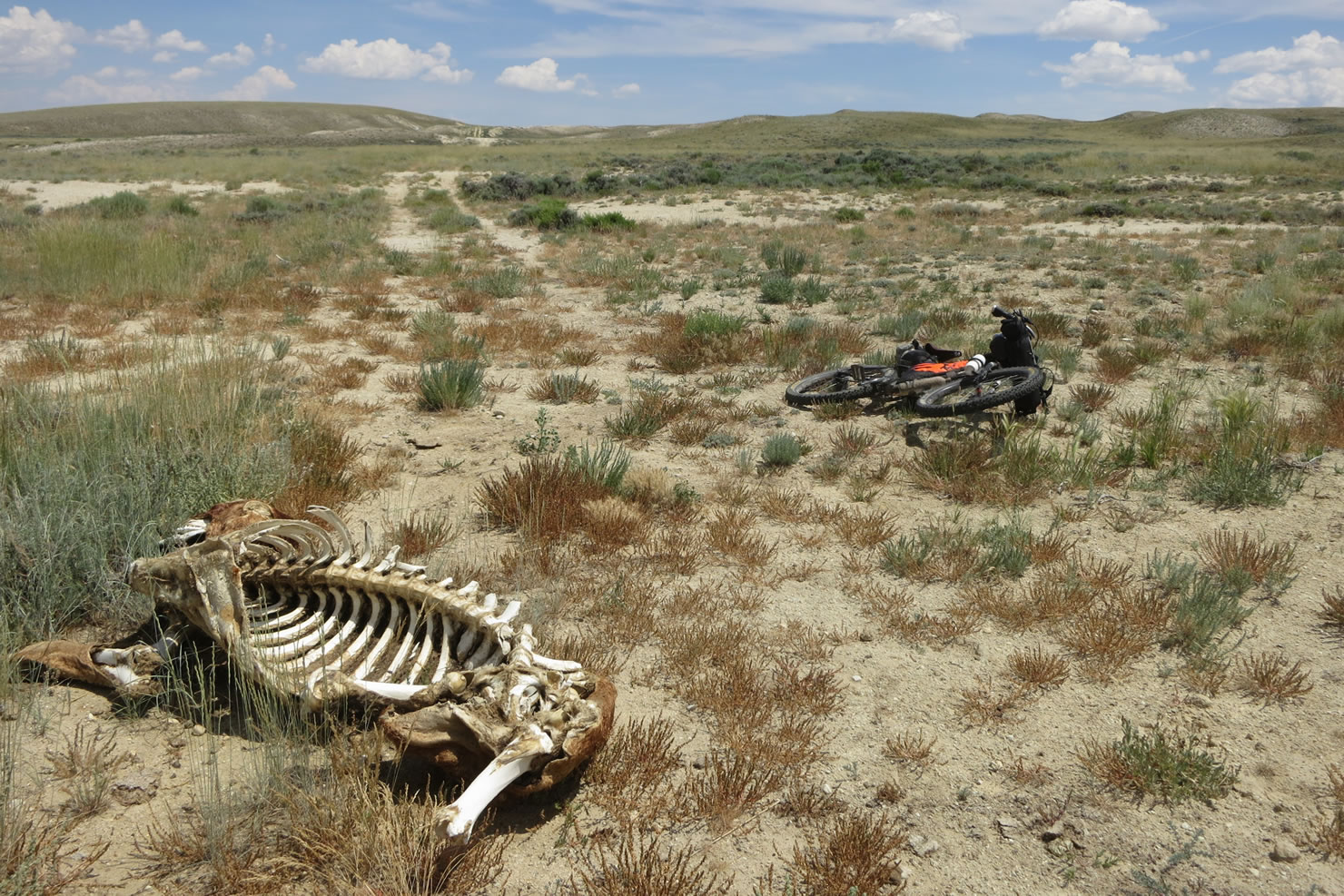
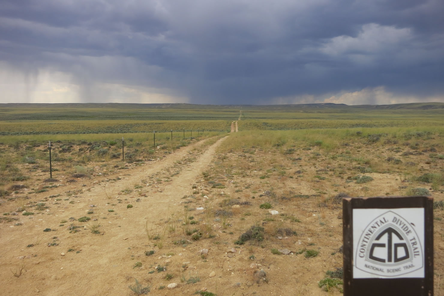
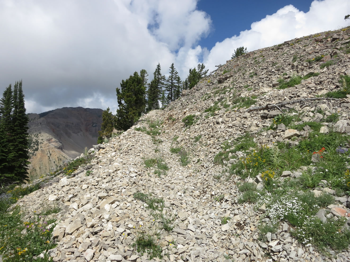
On the edge of the boot heel in New Mexico, the US/Mexico border runs north-south not east-west. This is where the Continental Divide Trail (CDT) starts. A local from Hachita took me to the southern terminus of the trail in a 1980 Scout International, with the soft top down and a cooler full of beer and oranges. I drank some but not too many PBRs. We stashed four gallons of water for me to pick up over the next few days. Everything gets real quiet real fast in the Sonora desert when your only means of staying alive suddenly becomes riding your mountain bike through dry washes and mesquite and bushes that tear at your sun burned legs like cats’ claws holding razor blades. It’s not a paved road like the end of the Tour Divide at nearby Antelope Wells. Indeed, there’s no road at all, and at times only a faint footpath beaten in by the thru hikers. It felt like sitting in the middle of bush Alaska, watching that floatplane fly away and knowing that you can get to a town only by floating out that massive river in front of you. Traveling north brought me through deserts and into Lordsburg and Silver City eventually, and from there into the southern edges of the Rocky Mountains. It rained often, and thunder peals and forks of lightening close by the tent at night were all too common. I slept in a floorless tent and rose early to drink instant coffee and hope to get a jump on the terrain and make miles before the storms returned again. It snowed in Pie Town and forty people slept in and around the Toaster House.

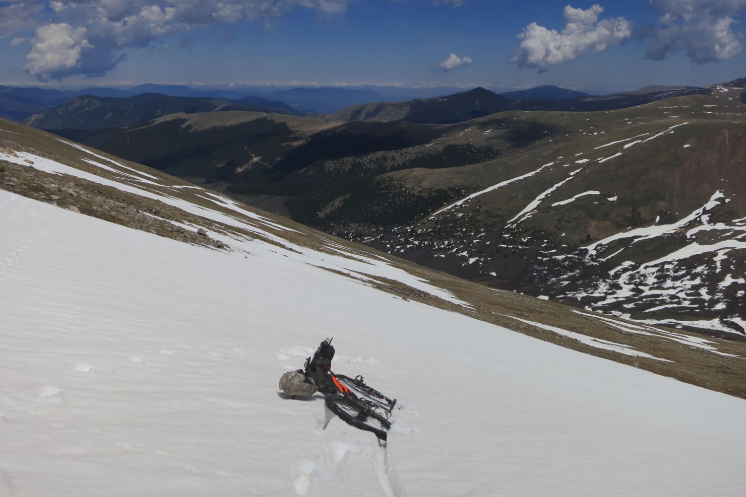
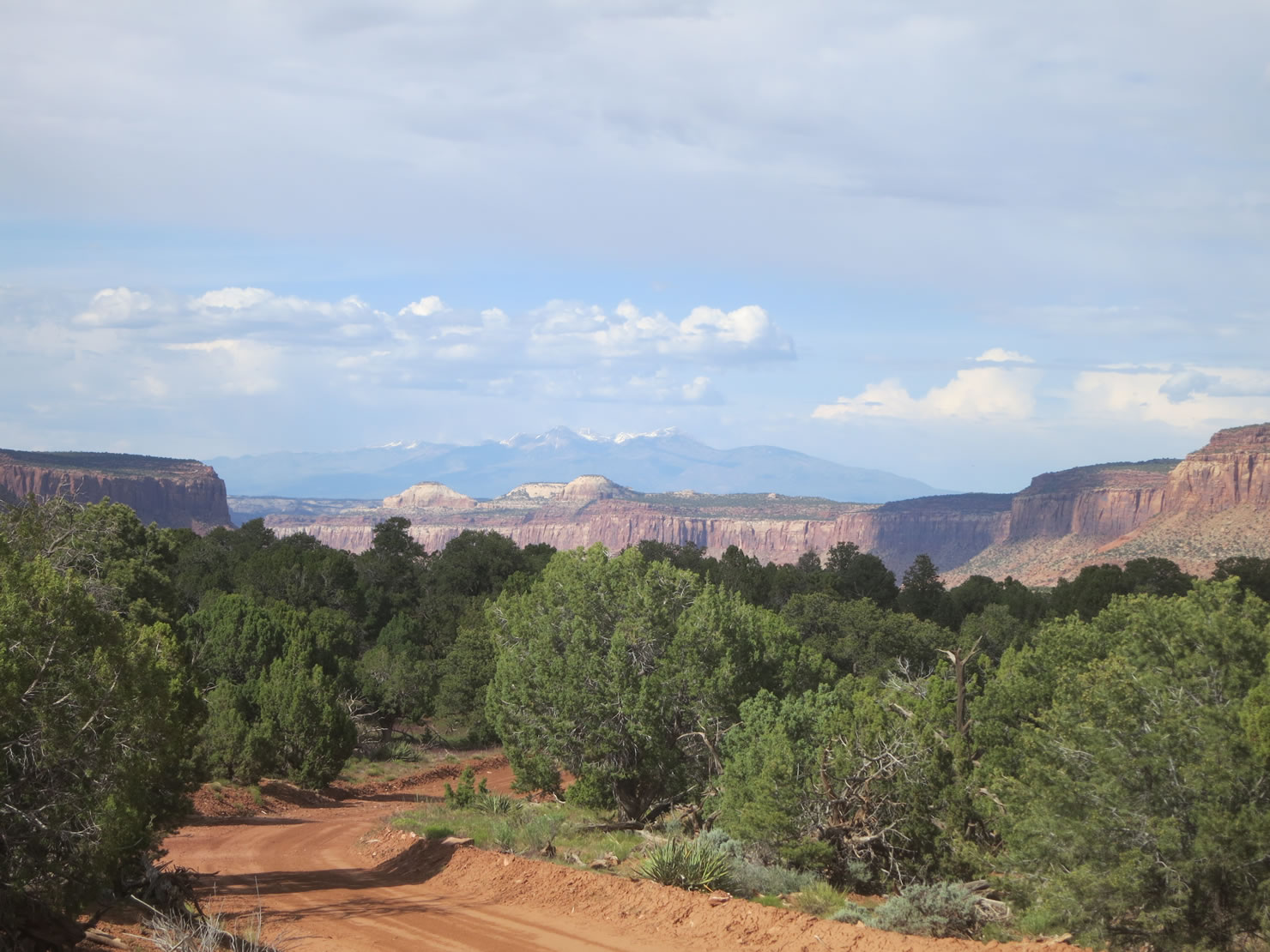
It snowed four inches over night two days from the Colorado border at Cumbres Pass. It was cold. I coasted into Chama, NM, wearing all my clothes and stopping to windmill my hands for warmth, happy I had rubber dishwashing gloves over my fingerless cotton bike gloves. If I had had skis I would have been in heaven. Avalanche conditions were high and fresh snow was still falling, but with a big jacket, a wool hat and skis I would have had a big, real big, outdoors experience. Instead I had a mountain bike, no pants and sneakers blown out even before the trip started. In retrospect, this is where my CDT trip began to unravel. Thru hikers maintain the concept of the “continual hike,” which means that if you leave the trail and hitchhike into a town or bag an off-trail peak, you have to return to trail where your detour started in order to maintain the true thru. I went far away from Chama in my friend Dave’s truck and ended up in Durango, CO, to meet my friend Doom who works in the Alpacka packraft factory. From Durango I rode far far away from the CDT, and into Utah and Canyonlands, the Needles District and Beef Basin. I went packrafting with friends of friends on a secret creek on the Navajo Res kind of near Bluff, UT. I flipped when I hit a sweeper and lost my hat. Weeks passed and maybe by the time I got back on trail the snow would be gone and the weather improved. Snow was still there and the weather had not improved.

I got off trail in Chama and got back on trail in Silverthorne, CO, after taking the Great Divide Mountain Bike Route north for two days from Salida. This means I missed most of southern Colorado. The GDMBR is easy riding vis-à-vis CDT riding. The CDT is rarely a very technical mountain bike route, but it is almost always a trail that demands all your attention and two hands on the bars. Usually on the CDT I was hungry and dehydrated, because eating meant stopping and drinking meant grabbing a bottle off the bars, and sometimes I could do this, but only sometimes, and I’m bad at stopping. Additionally, every single day I rode on the CDT, I pushed or lifted or carried my bike at least once. Light bikes are easier to carry than heavy bikes, and so I was always on that side of not having enough food while on the CDT.
On the GDMBR all I did was ride and eat and drink. Boreas Pass opened the day before I got there and I rode the lower section with no hands, pulling my iPhone from the bottom of my backpack and turning Raekwon and Ghostface up as loud as I could to get me through the flat lands. I would love for someone to give me a ti race bike and tubeless carbon rims, if only so I could legitimately talk shit and have a go at the course with people who race the Tour Divide and call it a difficult mountain bike race – instead of the massive dirt road ride that I see it as.
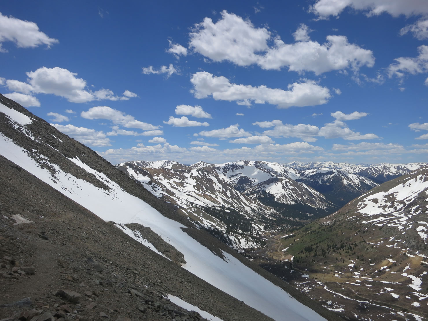
North from Silverthorne I went over Argentine Pass (13,207’) and Jones Pass (12,454’). I saw fourteeners Grays and Torreys from Argentine and it looked like winter and my feet were wet and cold all day from postholing with a bicycle. After pizza in idyllic, historic Georgetown, and camping in a stranger’s yard, I made the slog up and over Jones Pass. The hikers’ CDT route stays on the ridgeline and doesn’t drop off the scary cornice I did, but hikers are allowed to pass through the Vasquez Wilderness and adventuring cyclists have to bail to the big highway bend at Berthoud Pass in order to stay legal. I went to the highway and it was bullshit. First I threw my bike over the edge of that cornice where it was smallest and watched it slide down into the bowl that was a perfect avalanche trap. Then I down climbed, facing into the slope and kicking in steps, happy I had the trekking pole, which I use to hold up my tent, to use now as an ice axe. I post holed down to the Jones Pass road, climbed up Berthoud Pass on pavement, and bombed into Winter Park and ate more pizza, now with my friends Ezster and Scott. These two are the first (and only, I think) people to thru ride the entire CDT.


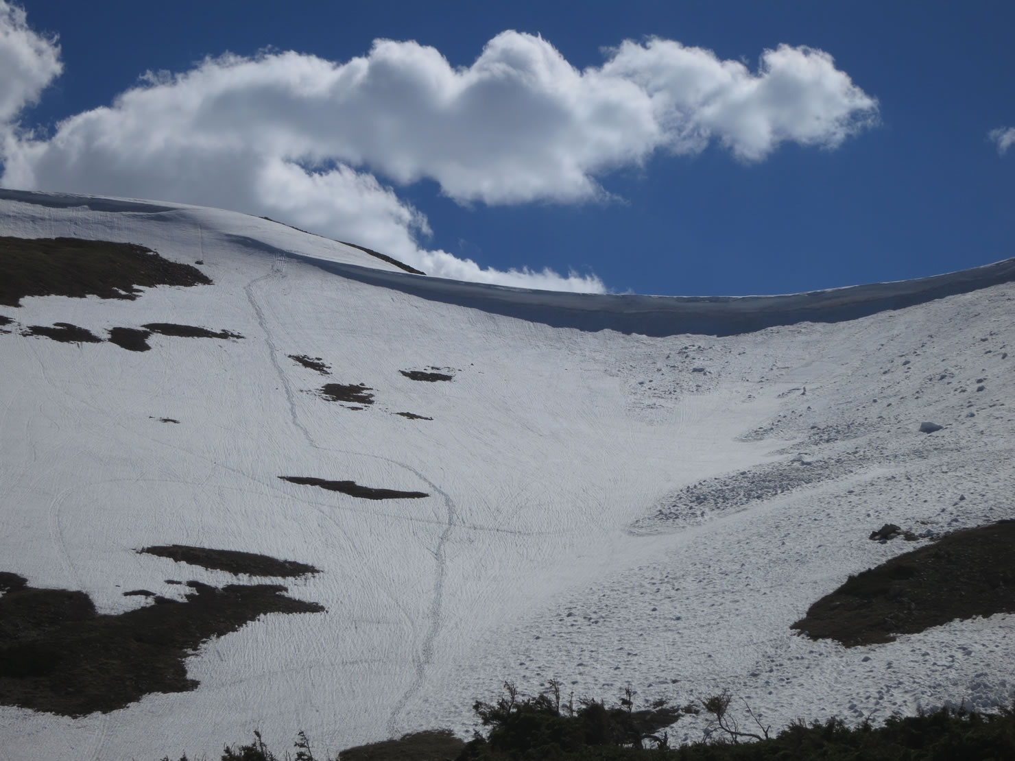
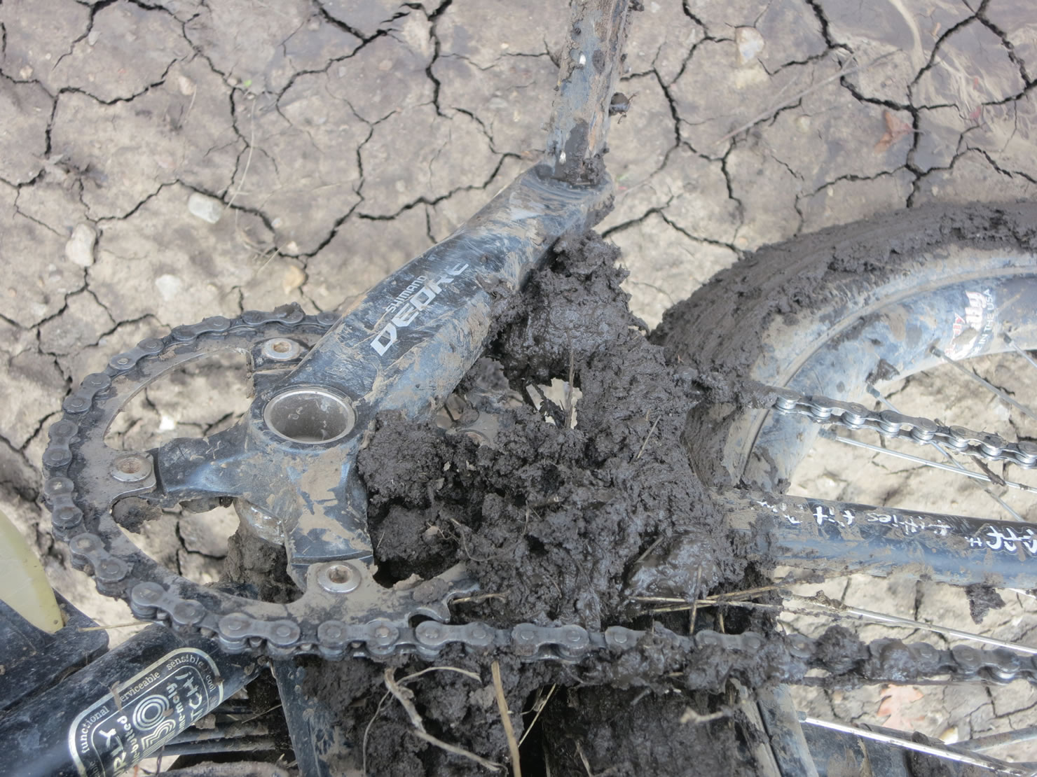
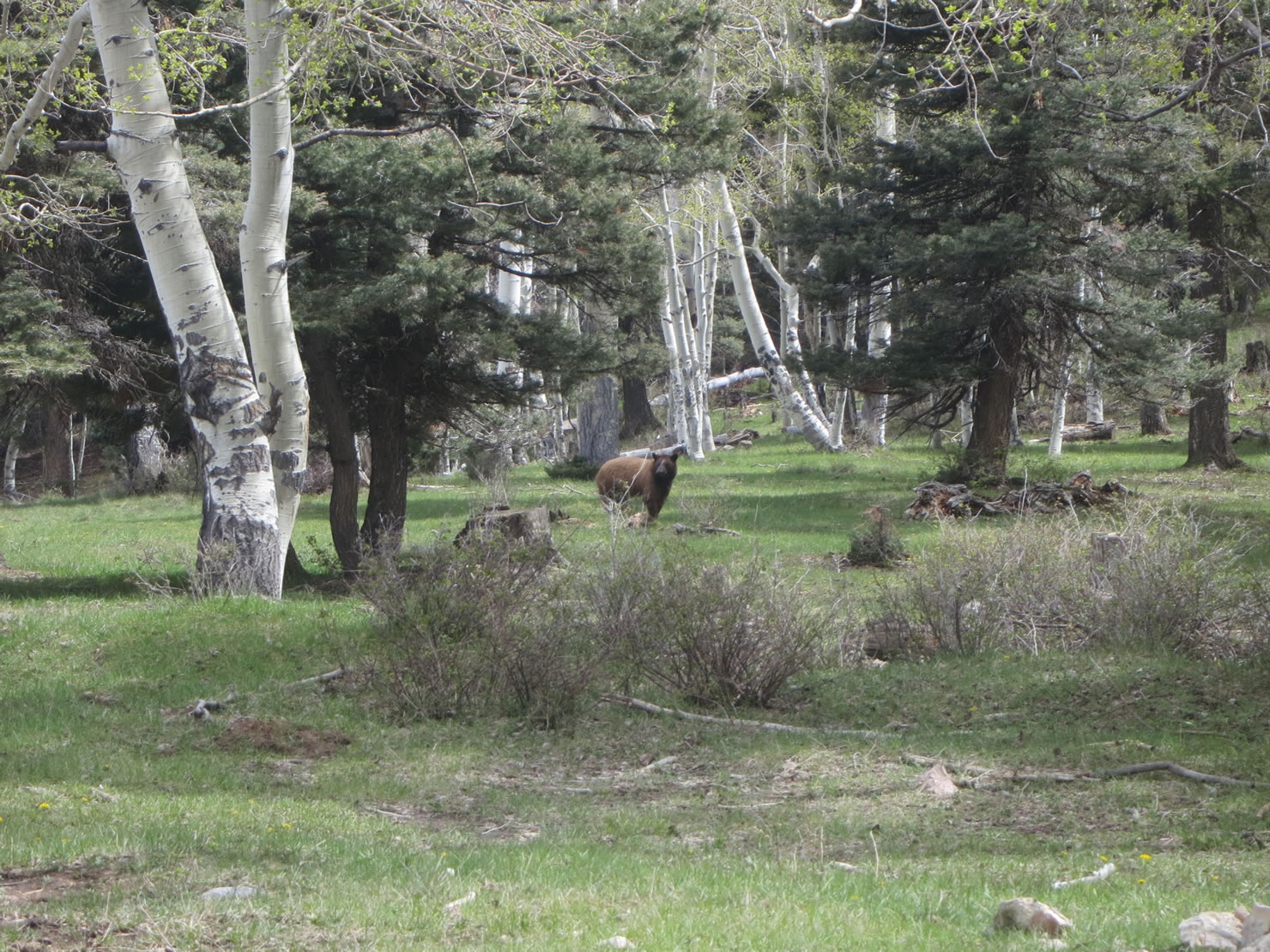
Winter Park to Steamboat Springs made me wish I were a month later in the year. Here I also acknowledged that Colorado’s reputation for amazing mountain biking is valid. I pushed my bicycle through and over mud and snow and fallen trees and flooded creeks. How much fun all these trails and trail-less meadows would be to ride if there weren’t three inches of water or two feet of snow on top of them. The requisite visit to Orange Peel in Steamboat was everything it was supposed to be. The mechanic who helped me replace the cog on my Rohloff knew everything about these funny hubs. He said he owned the shop, and charged me next to nothing for all the work we did on my bike. Thanks Brock (I think that was your name).
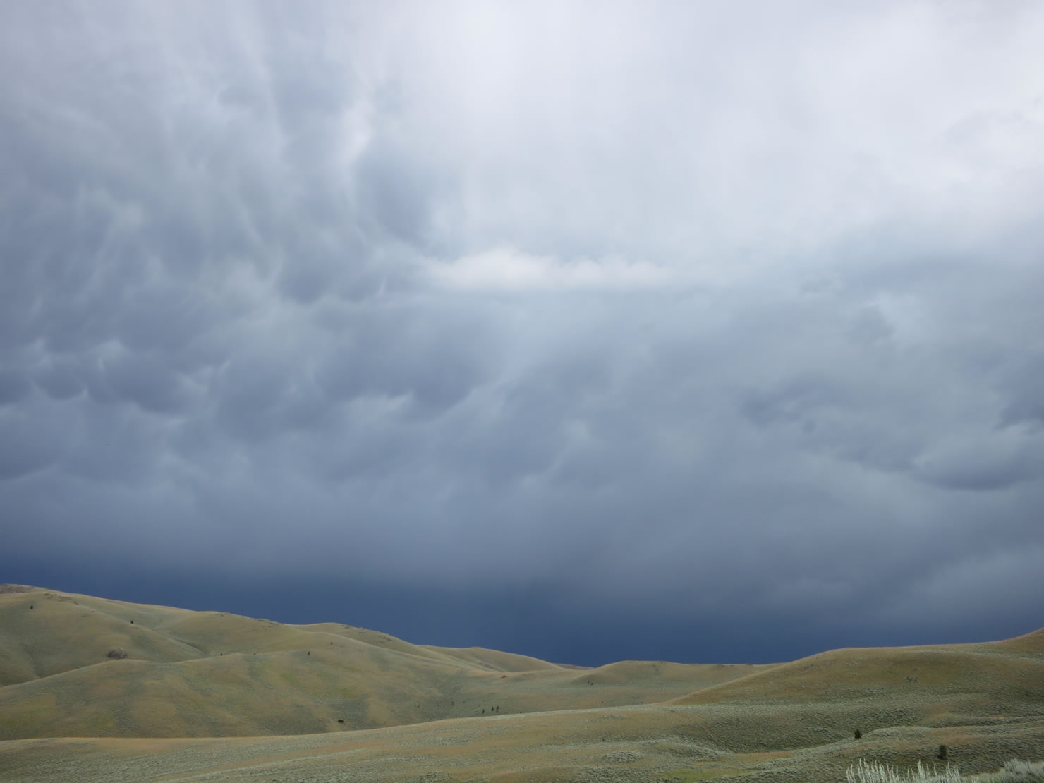
Wyoming brought more storms and a tendency to retreat to the GDMBR that continued through much of Montana. The CDT, in its northern sections, is often on the geographical, geological continental divide, which also happens to be the Montana/ Idaho border sometimes. The high ridge that splits a continent in half creates its own weather; it is an ideal place to find scary thunder storms, cold rain and big wind. The GDMBR, in its northern sections, is often on the valley floor below and parallel to the CDT. I stayed low and watched storm clouds sit on the divide for much of Montana. I ended up staying low for that small piece of trail in Idaho too, after I got high on Lionshead by the switchbacks and then retreated to Mack’s Inn after black clouds rolled in and shit got thick real fast above tree line.


I felt fortunate to have a bicycle and thus also the option of an easy bail out if there were a dirt road nearby. Thru hikers are solid and tough and they pride themselves on staying on real trail. To a one, they hated road walks. They would be up on the divide proper, raincoat hoods up and silver umbrellas open, while I would often chose the lower, drier, GDMBR. I went through both Butte and Helena, MT, looking for a new bottom bracket and growing increasingly tired of cold rain. I’m going back to square taper for long trips. Now I have, yet again, ridden too many miles on a set of outboard bearings that sway side to side and creak after only a month of use.
Whitefish, MT, is near the base of the Going to the Sun Highway, which goes into Glacier National Park and then onto one of the CDT’s northern terminuses at Waterton Lakes National Park, Alberta. Much of the hiking trail north of here goes though areas where bicycles are not permitted, and so this paved road is the only good legal route north. Whitefish was where I learned that forest fires had closed the Going to the Sun Highway, and that parks I was trying to go to were being evacuated even as I looked at maps of them. I drank tequila and champagne mixed together in my Tupperware coffee cup on the shore of Whitefish Lake and mulled my options.
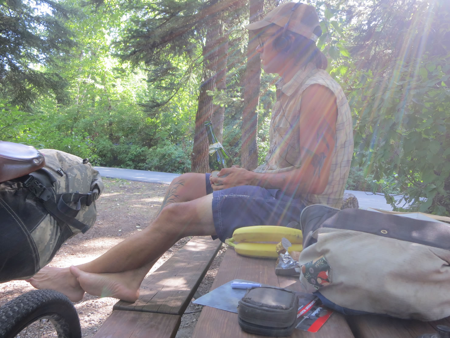
More than anything I was frustrated and tired. First snow, then rain, now fire. With about 12 pounds of gear – that includes tent, sleeping bag, pad, cook pot, stove, bike tools and no extra socks – I could move fast and light and cover miles efficiently and quickly. I could not make any miles if they were covered in snow or on fire. I thought about Slothrop, and why in the world anyone would try to go north. I bought an Amtrak ticket to Seattle and got off trail once and for all. I drank the rest of the tequila on the train. Audrey Sutherland’s “go simple, go solo, go now” motto was how I started the CDT. I did not anticipate the harsh weather; you never really can for a long trip like this one. If you knew what the weather would be all the time, wilderness trips would probably not be worth going on anyway. They would be easy. It’s good to be humbled sometimes.
This trip was hard. Enormous thanks to the people who made it easier:
- Mike Curiak for the wheels. www.lacemine29.com
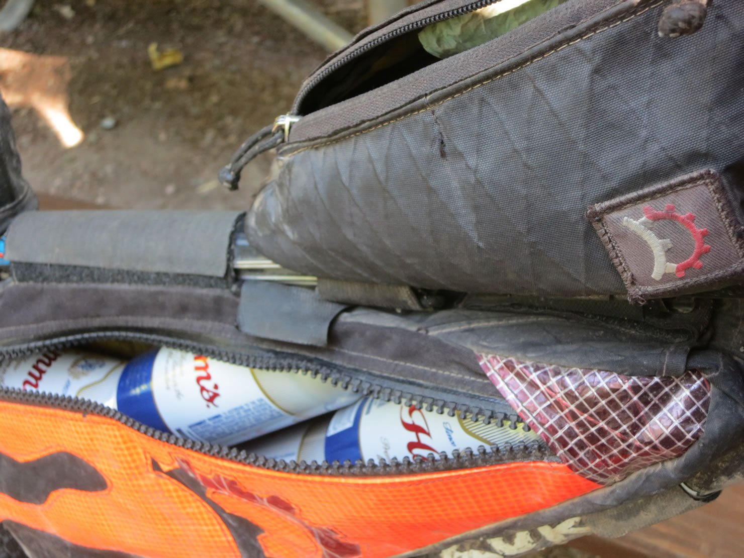
- Eric Parsons for the bags; Dusty for the flame job. www.revelatedesigns.com
- Scott Morris and Ezster Horanyi for inspiration, route beta and pizza. www.topofusion.com
- Dave Burdette in Chama for hospitality and shelter from the storms.
- Surly for the frame. That’s not true. Surly gave me a free 16″ orange Troll that I rode for a year and then decided was too small. I got this 18″ black Troll off Craigslist. Thank you Surly for making real adventure bikes. 4130, ‘natch.
Bikepacking the CDT
The CDT is primarily a hiking trail but that is no reason why it should not be a biking trail too. Unlike more codified routes or trails, the CDT is very much a “choose your own adventure” route. Most hikers start at Crazy Cook but a few start south of Columbus, NM. Most finish at Waterton Lakes National Park but some don’t. And everything in between is up for grabs too. There are many “alternates” and side trails. Some of these exist to make resupplying food easier for hikers; others go to special mountains or avoid long walks on dirt roads.
Almost all the literature about the CDT is written from a hiker’s perspective. Start there but then remember you have a bicycle. Many Wilderness Areas and National Parks that the trail goes through do not allow bicycling for example. Mailing out food drops is another place where hikers differ from bikers. Many hikers send out dozens of packages with food and gear to small towns and remote lodges and post offices. I mailed myself one package (of paper maps) to central Colorado. It’s easier on a bike than on foot to reach towns that are not directly on the trail. (For example, I rode to Aragon south of Pie Town to get groceries and this was an easy downhill on pavement. Walking this distance would be no fun; trying to hitch to Aragon on this quiet highway would also be no fun for a hiker.)
Scott Morris and Ezster Horanyi rode from Crazy Cook to Waterton Lake in 2014. Their blogs, trail journals and GPX track (above) are a great resource and their advice to future riders is spot on. They had full suspension aluminum bikes and 29” tires. I had a rigid steel ride and 26” wheels. They had clipless pedals and I had platforms. Choose your own whip.
Tips for Bikepacking the CDT
General advice I would give future riders is this:
- Ley paper maps
- Garmin eTrex 20 GPS
- Guthook’s app
- Cuben fiber and silnylon
- iPhones are capable of so much
- 1 pound sleeping bag
- a really good rain coat
- gearing as low as possible
- tubeless tires
- Revelate Designs bags
- a small backpack for water and extra food storage when needed
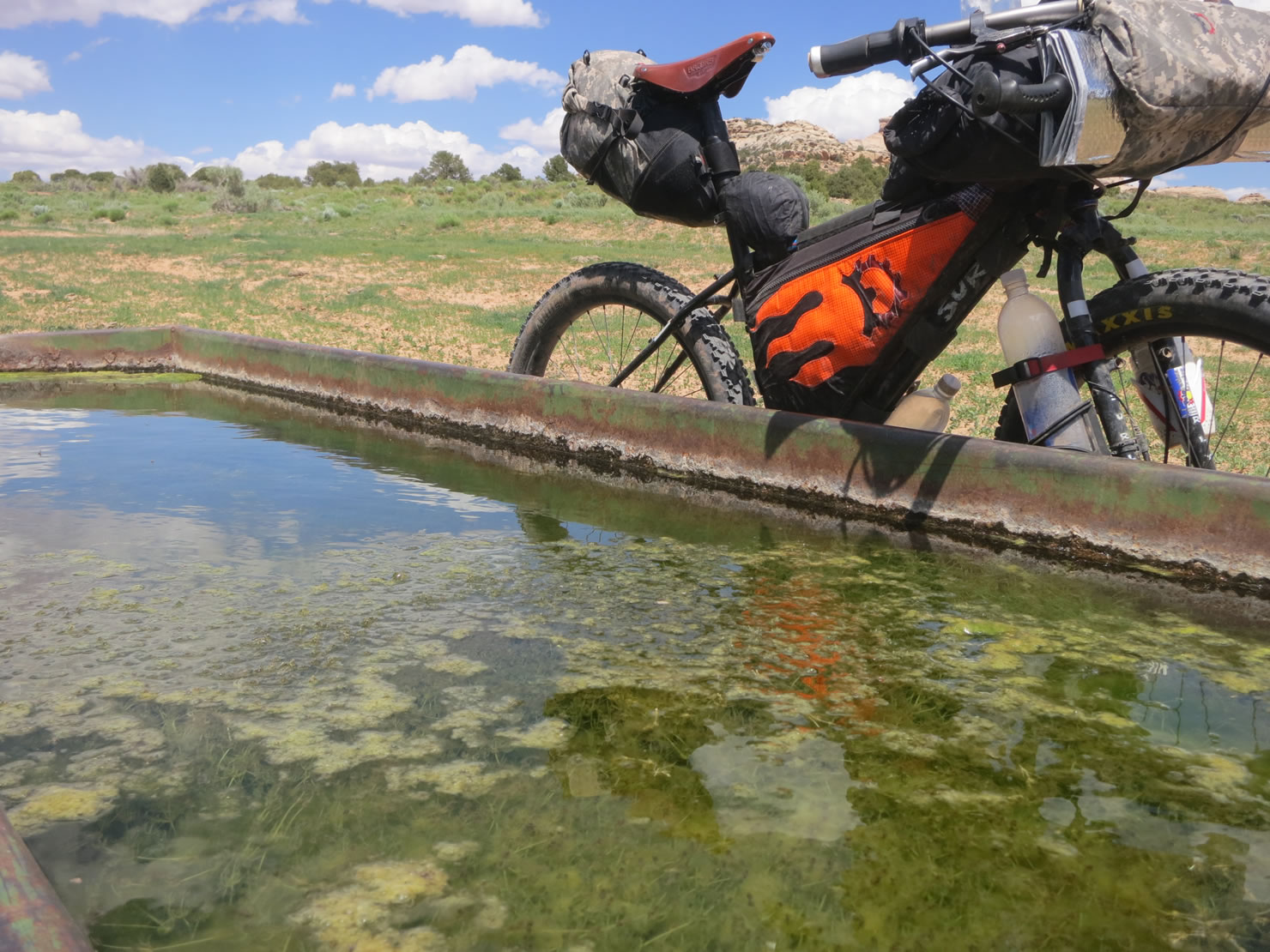
- I never needed or used my water filter
- sleeveless t-shirt
- have Mike Curiak build your wheels
- you might not need a pocket knife
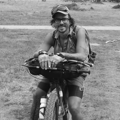
Dylan Kentch is from Alaska, where he still lives, and works as a baker. Dylan’s ridden from the United States to Ushuaia on a singlespeed and across Australia about three times. He turned 16 on his first bicycle tour, riding from Haines, AK, home to Anchorage.
FILED IN (CATEGORIES & TAGS)
Inspiration
Your Stories
bikepacking-arizona bikepacking-colorado gdmbr revelate-bags surly-bikesPlease keep the conversation civil, constructive, and inclusive, or your comment will be removed.